
Aktau
Aktau serves as a perfect starting point for journeys into the Ustyurt and the broader Mangystau Region. Its strategic location on the Caspian Sea, coupled
Aktau serves as a perfect starting point for journeys into the Ustyurt and the broader Mangystau Region. Its strategic location on the Caspian Sea, coupled
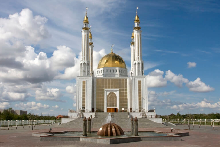
Aktobe is on the western end of the Kazakh Steppe, less than 100km from the Russian border. As the capital city of the Aktobe Region,

Atyrau, a bustling city less than 15km from the Caspian Sea’s north coast, sits amid the stark beauty of the Caspian Lowland. Surrounded by sandy

Fifteen kilometres north-west of Shetpe town is Ayrakty-Shomanai, or as 19th-century Ukrainian artist-poet Taras Shevchenko preferred to call it during his stay in Mangystau, ‘The

Boszhira is Central Asia’s rival to the USA’s Monument Valley National Park, with the bonus of no crowds. Packed into a 7km x 7km area
If you’re interested in obscure, remotely situated deserts, the Buzachi Peninsula has five small, sandy ones*: the Kyzylkum, Uvahkum, Shulshagylkum, Zhilimshik and Egizlak. The Kyzylkum
Perched on the western tip of the Tub-Karagan Peninsula is the city of Fort Shevchenko and its satellite port town of Bautino. It’s the Mangystau
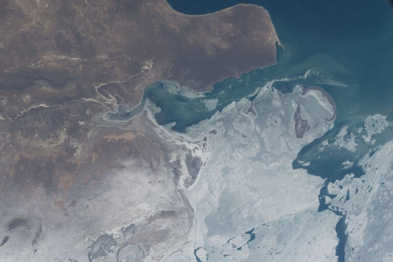
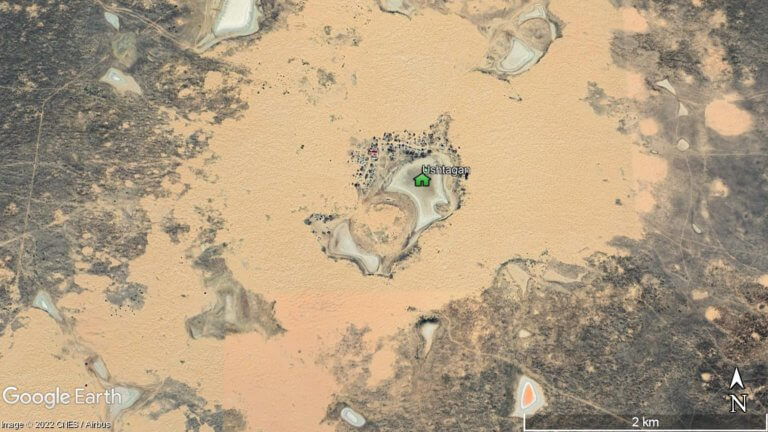
At the northern edge of the Ryn Desert is Kamysh-Samara. The 60km x 100km plain was once home to at least a dozen lakes, with

Kapamsay Canyon is a few kilometres south-west of Shakpak Ata. When approaching it from afar, you’ll see the white-sided walls of the chasm peeking up

Karynzharyk is an 85km long and 15km wide depression in the Ustyurt Nature Reserve. The nearest village is Ak-Kuduk, which is situated 25km to the

Overlooking Dead Kultuk is New Alexander Fort. It’s on the cliff edge of the Western Chink Ustyurt, on the east side of Kaydak Bay, and
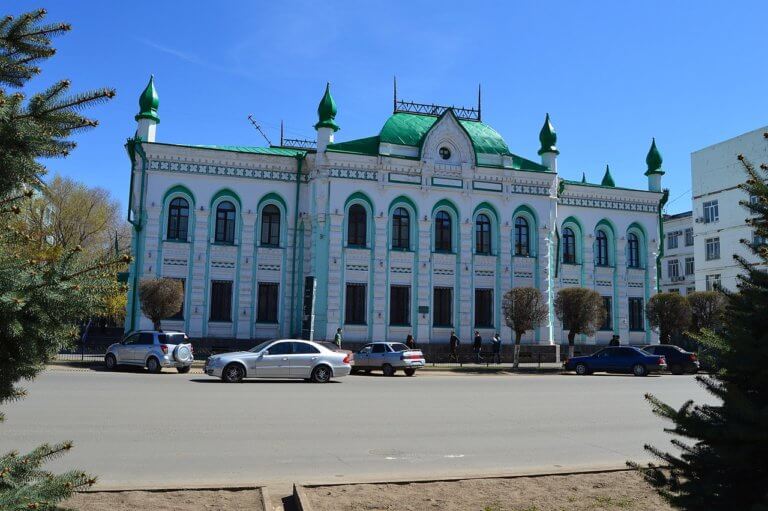
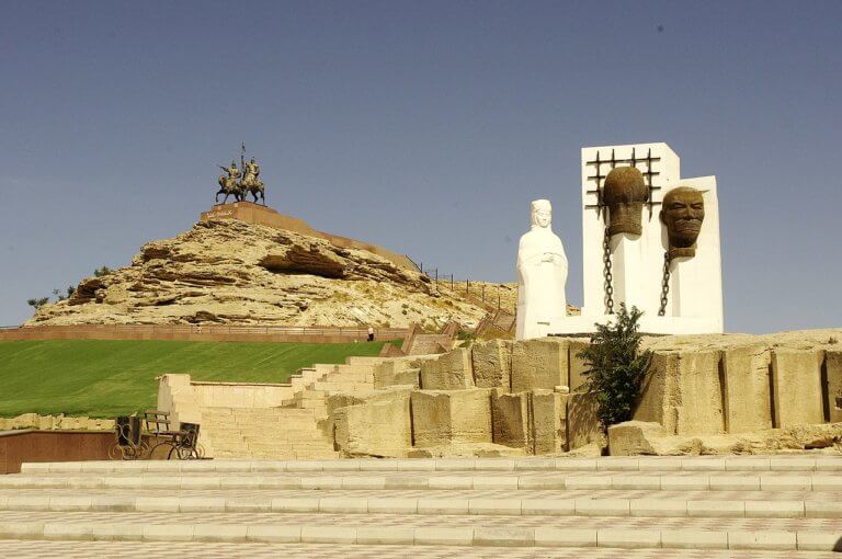
Oral is a lively city nestled on the banks of the Ural River. Like Atyrau city, it marks the geographical divide between Europe and Asia.
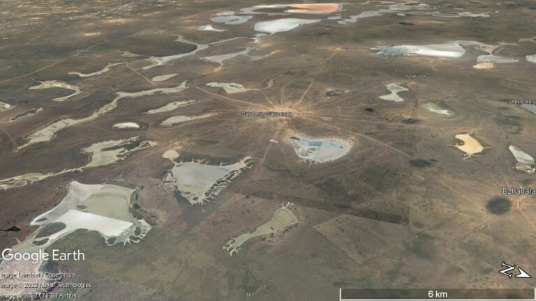
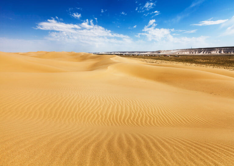
The Ryn, also known as the Naryn Sands, is Kazakhstan’s westernmost desert. It spans for over 350km between the Volga and Ural Rivers, and over
Senek Sands, also known as Tuyesu Sands, is an 11 x 30km area of dunes located halfway between Zhanaozen city and Boszhira. Barchan dunes cover

Tucked away inland of Sarytash Bay is the 10th-century Shakpak Ata, one of Mangystau’s most well-known historical-religious sites. Tauchik, a small village, is the nearest
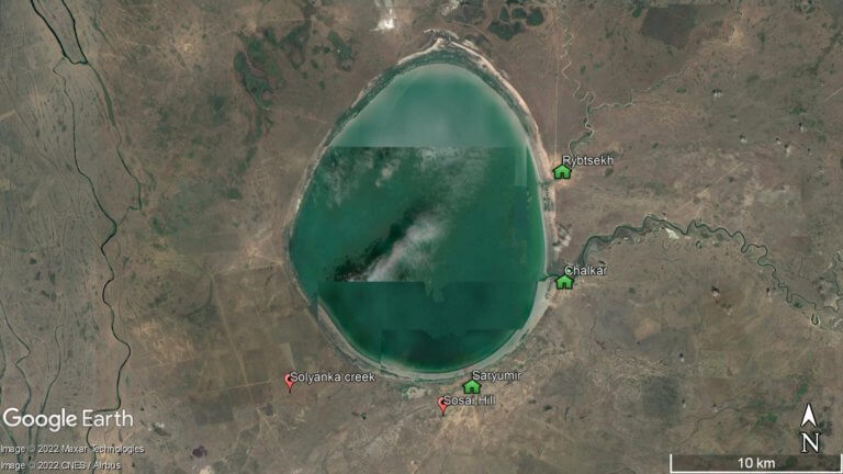
The brackish, egg-shaped Shalkar Lake – 65km south of Oral – measures 15km x 18km and receives water from two rivers on the east side:
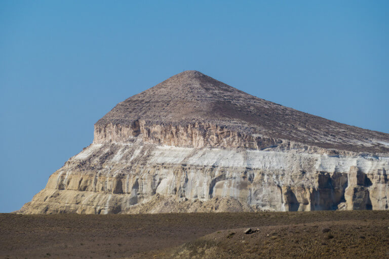
Sherkala (332m) is 5km west of Ayrakty-Shomanai on the northern side of the West Karatau Range. Its name is derived from the Persian words for

Twenty kilometres north of Senek village is Shopan Ata, a circa 10th-century underground mosque that is one of Mangystau’s oldest religious sites. It was first
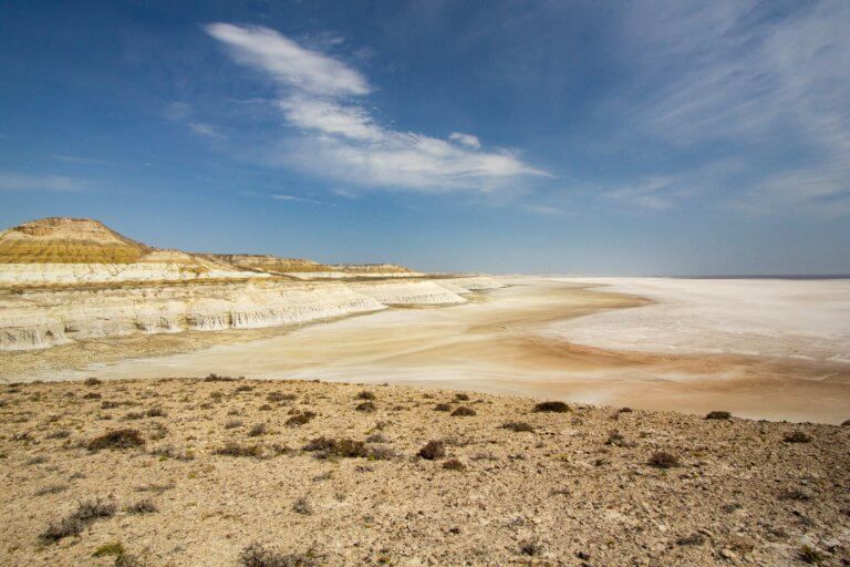
Eight kilometres south of Kyzyl Ravine is Sor Tuzbair*, a salt marsh stretching 15km along the edge of the Western Chink Ustyurt. Along with Boszhira,

Eight kilometres east of the Aktau–Buzachi Peninsula road and 30km west of Sherkala is the ‘Valley of Balls’. Locally known as Torysh, the valley lies

Ten kilometres off the north coast of the Tub-Karagan Peninsula is the Tyuleniy Archipelago. Tyulen means ‘seal’ in Russian. The archipelago comprises five named islands.