Ryn Desert
The Ryn, also known as the Naryn Sands, is Kazakhstan’s westernmost desert. It spans for over 350km between the Volga and Ural Rivers, and over
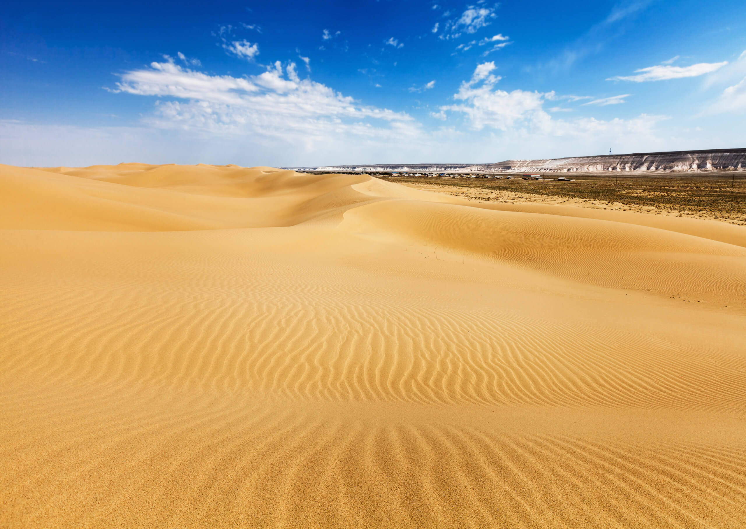

The Ryn, also known as the Naryn Sands, is Kazakhstan’s westernmost desert. It spans for over 350km between the Volga and Ural Rivers, and over
If you’re on the lookout for Central Asia travel guides, you’ve come to right place! Here’s our rundown of what’s on the market and the

Twenty kilometres north of Senek village is Shopan Ata, a circa 10th-century underground mosque that is one of Mangystau’s oldest religious sites. It was first