Central Asia Travel Guides
If you’re on the lookout for Central Asia travel guides, you’ve come to right place! Here’s our rundown of what’s on the market and the best guidebooks to buy. Bradt Guides In 1974, while traveling through South America, Hilary Bradt and her former husband George began documenting hiking trails in the Andes during an 18-month […]
Aktobe
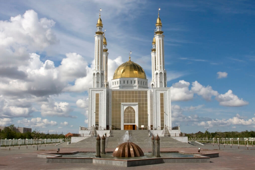
Aktobe is on the western end of the Kazakh Steppe, less than 100km from the Russian border. As the capital city of the Aktobe Region, it has several museums, historical sites, and buildings worth visiting. Read further to find out what to see and what’s nearby. History of Aktobe In 1869, the Russian Empire laid […]
Karagiye Depression
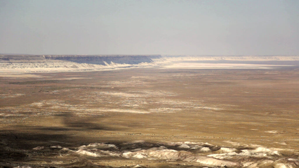
Fifty-five kilometres south-east of Aktau city is the Karagiye Depression. At –132m below sea level, it’s the lowest point in Central Asia and the former Soviet Union. Size estimates vary, but it’s over 20km wide and at least 40km in length. Its deepest point is the Batyr salt flat, in the southern half. The name […]
Ustyurt Caves
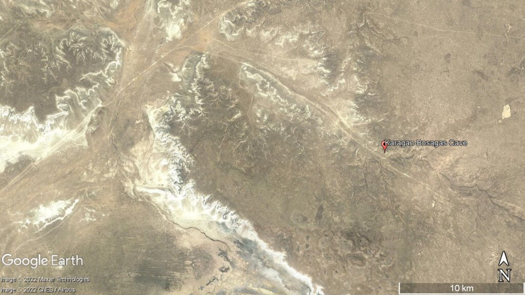
According to G. N. Amelichev’s A Brief History of Cave Exploration in the USSR and Russia, there are over 50 caves in the Ustyurt region. Here’s our overview of three of the best-known ones, all of which are reachable within a one- or two-day drive from Aktau. Balayuk Cave Forty-five kilometres south-east of the Karynzharyk […]
Akkergeshen Plateau
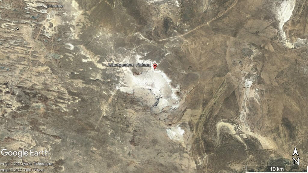
The Akkegershin Plateau is an area of chalk upland 55km north-east of Kulsary town. It measures approximately 8km x 12km and is 50km west of the larger Aktolagay Plateau. The plateau boasts an array of wind-carved chalk formations, with the most stunning examples at a northern viewpoint. Among these natural sculptures are the ‘Three Heroes’, ‘Camel’, […]
Mugodzhar Hills
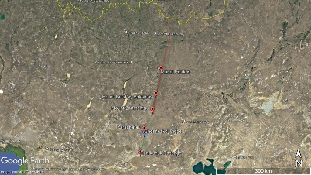
The Mugodzhar Hills form the southernmost part of the Ural Mountains. The range starts near the Kazakh-Russian border and extends south for 200km+ through the Aktobe Region, forming a geographical boundary between the Caspian Sea and Turgay River drainage basins. Mount Bolshoy Boktybay (657m) is the highest point. Debate surrounds the exact point where the […]
Shalkar Lake
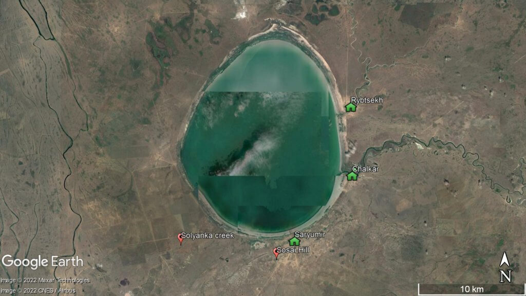
The brackish, egg-shaped Shalkar Lake – 65km south of Oral – measures 15km x 18km and receives water from two rivers on the east side: the Sholakankaty, located beside Rybtsekh village, and the Izenankaty, near Chalkar village. In the south-west, there’s also the Solyanka, which is a seasonal creek. The average depth range of Shalkar […]
Kamysh-Samara
At the northern edge of the Ryn Desert is Kamysh-Samara. The 60km x 100km plain was once home to at least a dozen lakes, with Aralsor – the largest one – measuring 13km wide. Today, many of the lakes’ water levels have decreased significantly and turned into dry salt pans. However, in the spring of […]
Oral
Oral is a lively city nestled on the banks of the Ural River. Like Atyrau city, it marks the geographical divide between Europe and Asia. It’s barely 30km from the Russian border, so the city’s cultural landscape is a vibrant blend of Kazakh and Russian influences. History of Oral Ural Cossacks founded Oral (aka Uralsk […]
Ryn Desert
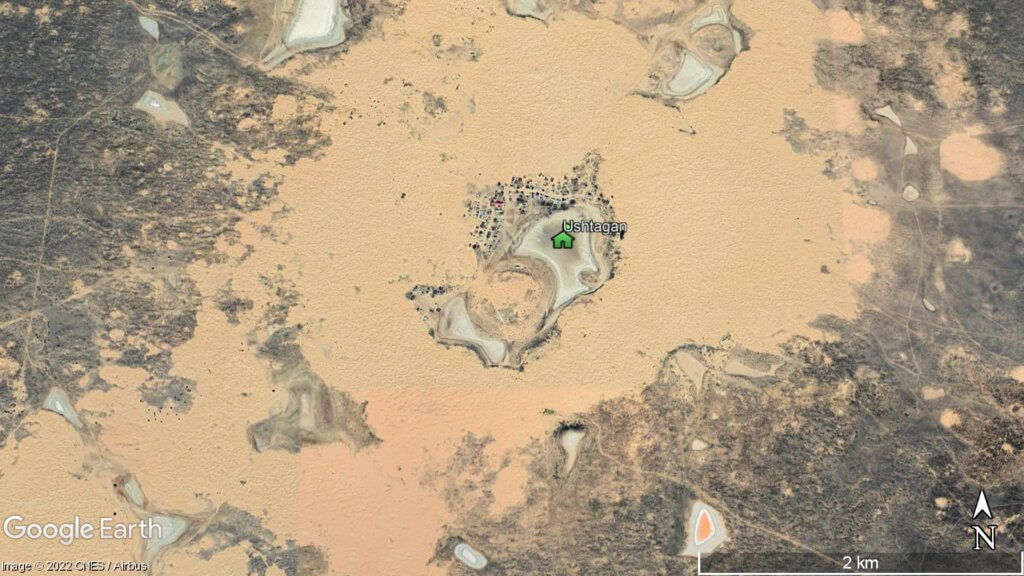
The Ryn, also known as the Naryn Sands, is Kazakhstan’s westernmost desert. It spans for over 350km between the Volga and Ural Rivers, and over 250km from the Caspian Sea’s north coast to the edge of the Pontic-Caspian Steppe. Desertification in the Ryn Desert Extending 50km on either side of Isatay village is the Menteke […]