Shalkar Lake

The brackish, egg-shaped Shalkar Lake – 65km south of Oral – measures 15km x 18km and receives water from two rivers on the east side: the Sholakankaty, located beside Rybtsekh village, and the Izenankaty, near Chalkar village. In the south-west, there’s also the Solyanka, which is a seasonal creek. The average depth range of Shalkar is –5 to –7m, and the deepest point is approximately –15m.

Shalkar’s shores, although barren, host a variety of birdlife. Flocks of terns glide overhead while seagulls hunt below. Ducks, swans, and geese dwell among thickets of reed and cattail, too. Additionally, the area is home to birds of prey, such as white-tailed eagles, merlins, and harriers.

Satellite overview of a bright green-coloured Shalkar Lake.
Map Data: Google, © 2022 Maxar Technologies and CNES / Airbus.

The 10th-century Arab Muslim traveller Ahmad ibn Fadlan is believed to have produced one of the earliest written accounts of the lake, when he stopped for a day at a Pecheneg camp situated “at the edge of a body of water resembling a sea, for it was not flowing,” and noted how they were poor compared to the “Ghuzz” (Oghuz), who possessed “10,000 horses and 100,000 head of sheep”.

Afterwards, they crossed the “Jayikh” (Ural River), where one of his leather boats flipped over, carrying away many of his men and drowning some of his horses and camels. After several more river crossings, they made it to the land of the “Bashghirds” (Bashkirs), located somewhere in the vicinity of the “Kunjulu” (Kondurcha River) in Russia’s Samara Oblast.

Ibn Fadlan’s description of the Bashkirs probably wins the award for the most bizarre practices we’ve come across while researching and writing this guidebook. According to him, they ate lice and fleas, and carried wood carved in the shape of a phallus, which they’d kiss and bow to before embarking on a journey or meeting an enemy.

Once ibn Fadlan and his team reached the Volga Bulgar’s capital, Bolghar, which is now part of Russia’s Republic of Tatarstan, he encountered Viking traders (Varangians). His first impression of them was positive, describing them as “… perfect physical specimens, tall as date palms, blonde and ruddy…” However, his sentiment soured the more time he spent with them, and later on considered them the “filthiest of God’s creatures” and like “wild asses” after witnessing their less-than-favourable bathing and sexual habits.

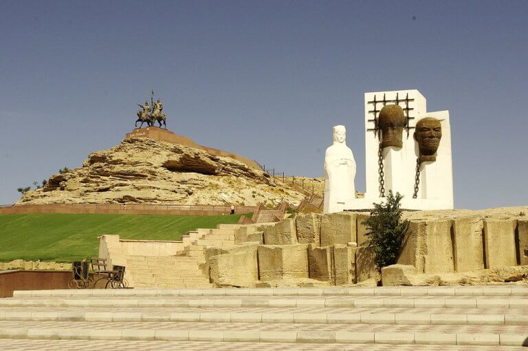
Under the orders of Al-Muqtadir, ruler of the Abassid Caliphate (r. 908–932), ibn Fadlan travelled to Russia to educate the recently converted Volga Bulgars on Islamic law. Departing Baghdad, Iraq, in June 921, he and his group followed caravan routes to Gorgan, Iran. From there, he headed east to Bukhara, then north-west to the Aral Sea and the Ustyurt, and across the steppes and plateaus of western Kazakhstan to reach Russia. The 4,000km+ journey took 11 months.

The north shore of Shalkar Lake rimmed by white chalk cliffs.
Map Data: Google, © 2022 Maxar Technologies.

What to do and where to stay

Two kilometres north-east of Saryumir village, near the southern lakeshore, is Baza Otdiha Shalkar which has log cabins and gers to rent. To enquire about prices or availability, visit their Instagram page. Alternatively, call or message them via +7 705 571 5888 or +7 777 660 6777. If you’re looking for a good view of the lake, walk up to the top of Sosai Hill (94m), which is one kilometre from the village’s west end.

How to get to Shalkar Lake

If you’re coming from Oral city centre, take the E38 road towards Zhympity. After approximately 55km, there’s a right turn for the KL-12 road which takes you all the way to Saryumir. The total distance is 115km and takes less than 2 hours. You’ll need your own car or a taxi.

Coordinates:

  • Rybtsekh Village (Rybtseh Auyly/Рыбцех): 50.5823, 51.7959

  • Chalkar Village (Челкар): 50.5246, 51.7976

  • Solyanka Creek (Solianka Şoldyñğy/Ручей Солянка): 50.4702, 51.5719

  • Sosai Hill (Sosai Tauy/Сосай холм): 50.4583, 51.6979

  • Saryumir Village (Saryömır Auyly/Сарыумир деревня): 50.4699, 51.7216

  • Zhympity Village (Jympity Auyly/Жымпиты): 50.2565, 52.5985

  • Baza Otdiha Shalkar (Şalqar Demalys Ortalyğy/База отдыха Шалкар): 50.4841, 51.7412

Resources:

Planning a visit? Check out our debut guidebook

Other places included in our publication:

Rock spires rising above chalk slopes.

Boszhira

Boszhira is Central Asia’s rival to the USA’s Monument Valley National Park, with the bonus of no crowds. Packed into a 7km x 7km area

Read More »

Buzachi Peninsula Deserts

If you’re interested in obscure, remotely situated deserts, the Buzachi Peninsula has five small, sandy ones*: the Kyzylkum, Uvahkum, Shulshagylkum, Zhilimshik and Egizlak. The Kyzylkum

Read More »