Sor Tuzbair
Eight kilometres south of Kyzyl Ravine is Sor Tuzbair*, a salt marsh stretching 15km along the edge of the Western Chink Ustyurt. Along with Boszhira,
Eight kilometres south of Kyzyl Ravine is Sor Tuzbair*, a salt marsh stretching 15km along the edge of the Western Chink Ustyurt. Along with Boszhira,

Overlooking Dead Kultuk is New Alexander Fort. It’s on the cliff edge of the Western Chink Ustyurt, on the east side of Kaydak Bay, and
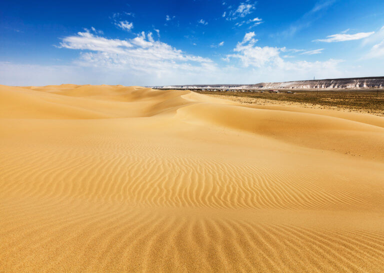
Senek Sands, also known as Tuyesu Sands, is an 11 x 30km area of dunes located halfway between Zhanaozen city and Boszhira. Barchan dunes cover