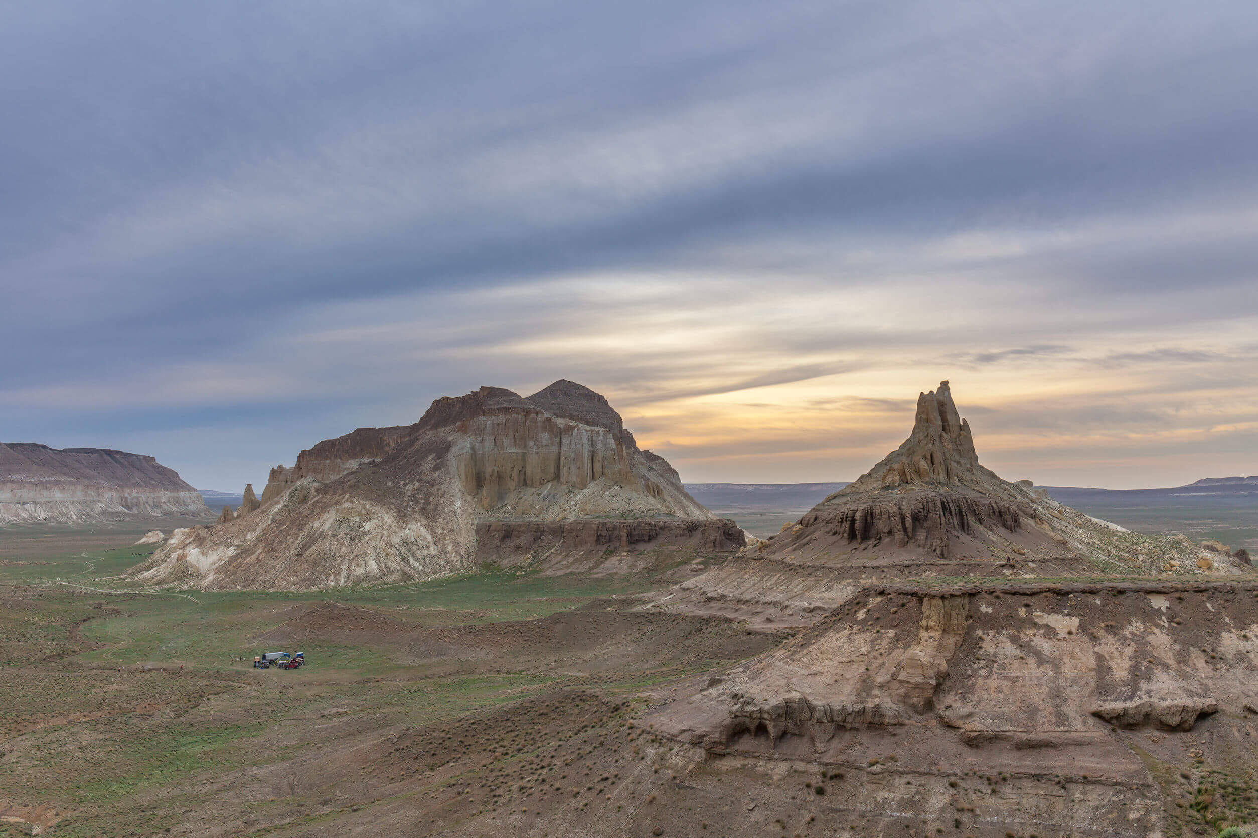
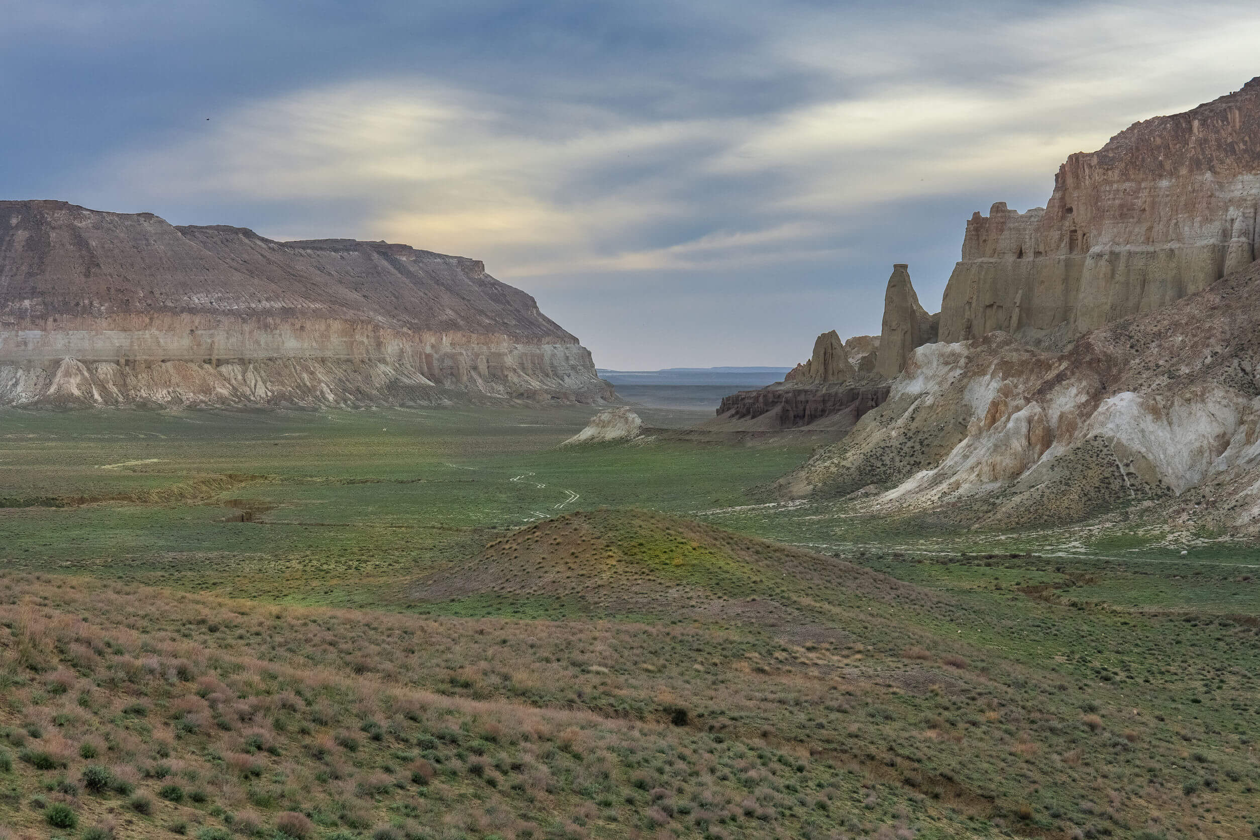
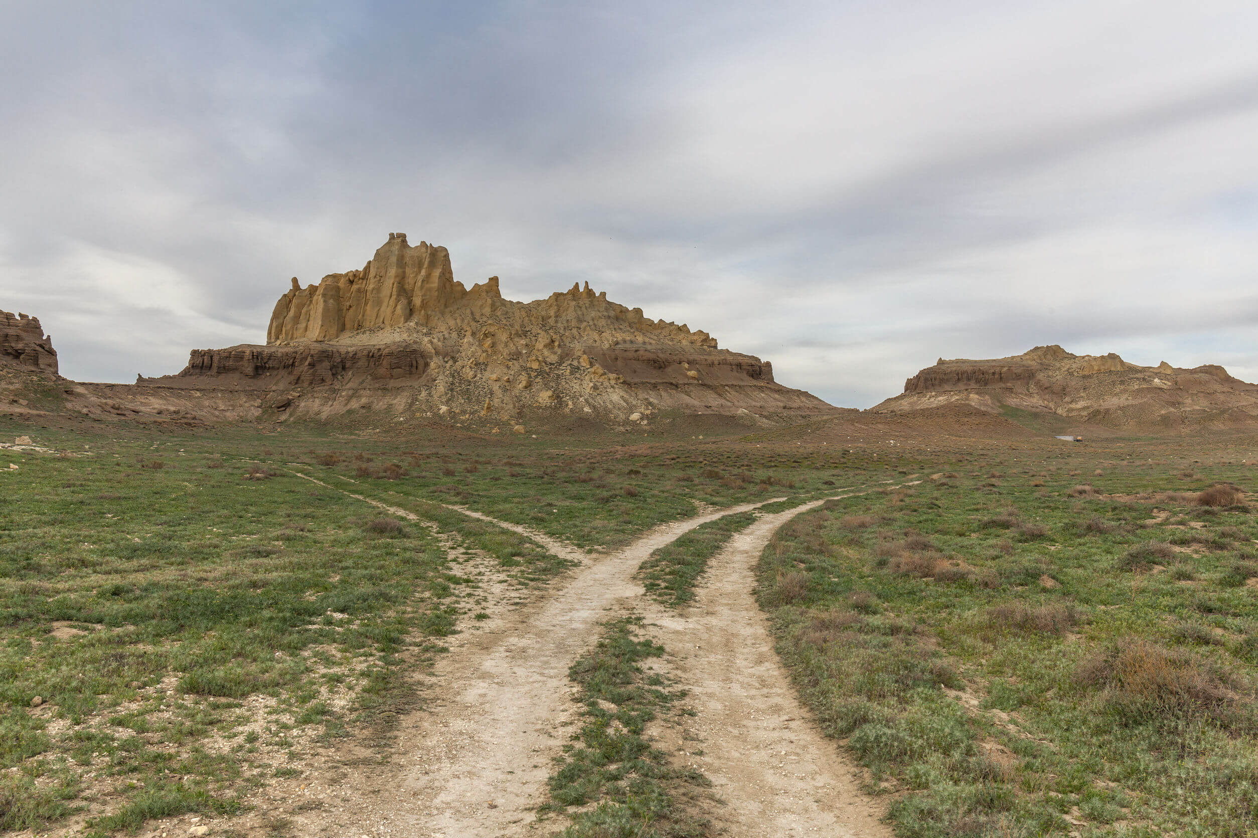
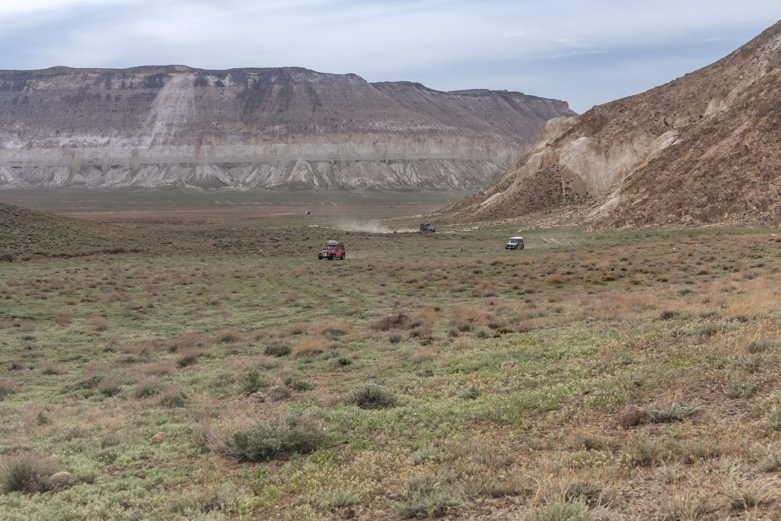
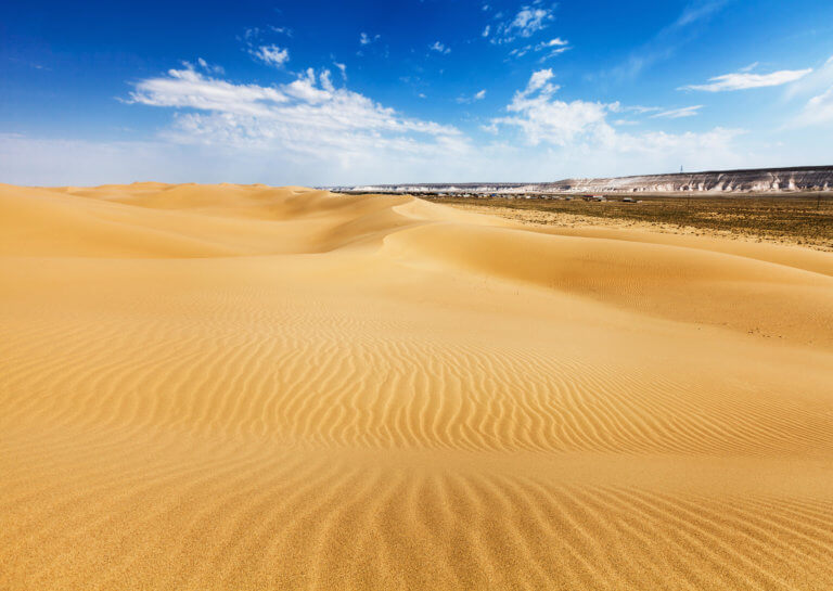
Fifteen kilometres north-west of Shetpe town is Ayrakty-Shomanai, or as 19th-century Ukrainian artist-poet Taras Shevchenko preferred to call it during his stay in Mangystau, ‘The Valley of Castles’. The peaks are freestanding, sitting between the Karatau Range to the south and the North Aktau Ridge to the north. Given its otherworldly landscape comprising fin-like rock ridges, soil with colours reminiscent of Venus, and imposing desert spires, it would make a top spot for a sci-fi film. During the Silk Road era, it was an important navigational point for travellers and traders.

ayrakty-shomanai-landscape-in-sunset
Ayrakty-Shomanai's rocky spires and jagged cliffs. © Tatiana Mayurova Sall

Ayrakty-Shomanai Geoglyphs

From the north side of Ayrkaty-Shomanai it’s possible to drive off road to the summit. Peer over the peak’s east side and, provided they haven’t faded through weathering and erosion, you’ll spot a collection of geoglyphs. However, don’t be fooled! Local archaeologist-historian Andrei Astafiev created these in 2017 to attract more visitors to the area. There are five, with the smallest being a 110m x 150m argali sheep and the largest one depicting a cosmogonic deity measuring 170m x 415m. Astafiev, along with a small team, employed a combination of drones and GPS applications to map out the design meticulously. For construction, they dragged shovels and tools behind a vehicle to churn up the ground. One of their biggest drawings required 30km of driving to complete.

In 2013, a 200-metre-wide pentagram-shaped geoglyph appeared on the outskirts of Aktau. In the same year, another Kazakh pentagram made the headlines on the banks of the Upper Tobol Reservoir in the Kostanay Region. No one’s certain who created these pentagrams, although archaeologist Emma Usmanova believes the Kostanay one is the outline of a star-shaped park from Soviet times. As for the Aktau one, Tengri News says there’s a strong suspicion motorised hang gliders made them.

Petroglyphs

On some of Ayrakty-Shomanai’s cliffs there are petroglyphs depicting mouflon, horse, camel and dogs. Although, they’re more contemporary and left behind by local herders and hunters. The two most notable rock paintings in the area show a bullet striking a ram and the other one, locally known as the ‘Picture of the World’, shows multiple layers of wild animals.

Coordinates:

  • Shetpe (Şetpe/Шетпе): 44.1388, 52.1688

  • Ayrakty-Shomanai and Geoglyphs (Airaqty-Şomanai/Айракты-Шоманай): 44.2436, 52.1102

  • Aktau Pentagram Geoglyph: 43.7293, 51.1283

Resources:

  • 1:200k Soviet map of Ayrakty-Shomanai, shown in the upper edge of the bottom-left quarter and shaped like a goat’s hoof. The “324” spot height (in metres) marks the northern tip, while “351” marks the southern end.

Planning a visit? Check out our debut guidebook

Other places included in our publication:

Green and white exterior of Oral's regional museum.

Oral

Oral is a lively city nestled on the banks of the Ural River. Like Atyrau city, it marks the geographical divide between Europe and Asia.

Read More »
Ushtagan village surrounded by a large ring of sandy desert

Ryn Desert

The Ryn, also known as the Naryn Sands, is Kazakhstan’s westernmost desert. It spans for over 350km between the Volga and Ural Rivers, and over

Read More »