
Atyrau
Atyrau, a bustling city less than 15km from the Caspian Sea’s north coast, sits amid the stark beauty of the Caspian Lowland. Surrounded by sandy
Atyrau, a bustling city less than 15km from the Caspian Sea’s north coast, sits amid the stark beauty of the Caspian Lowland. Surrounded by sandy

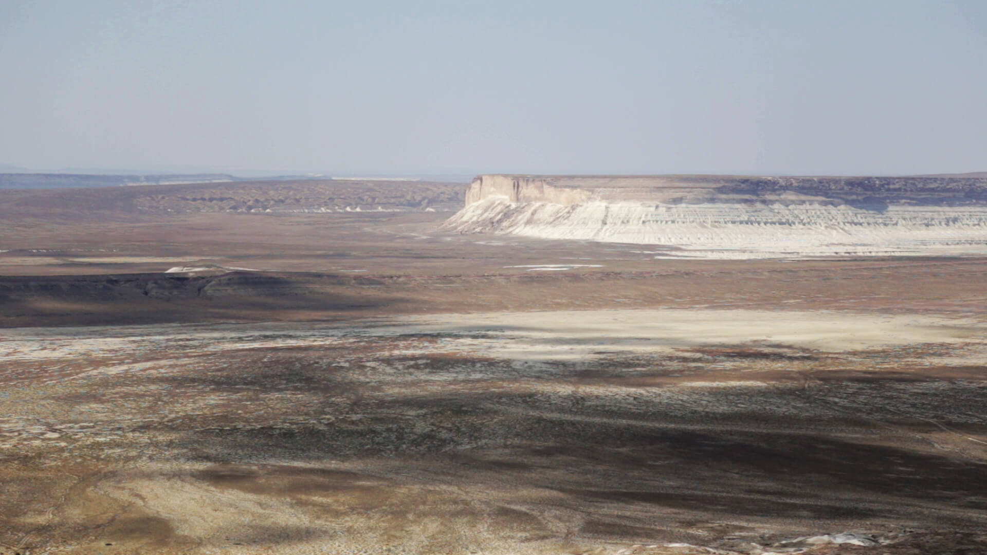
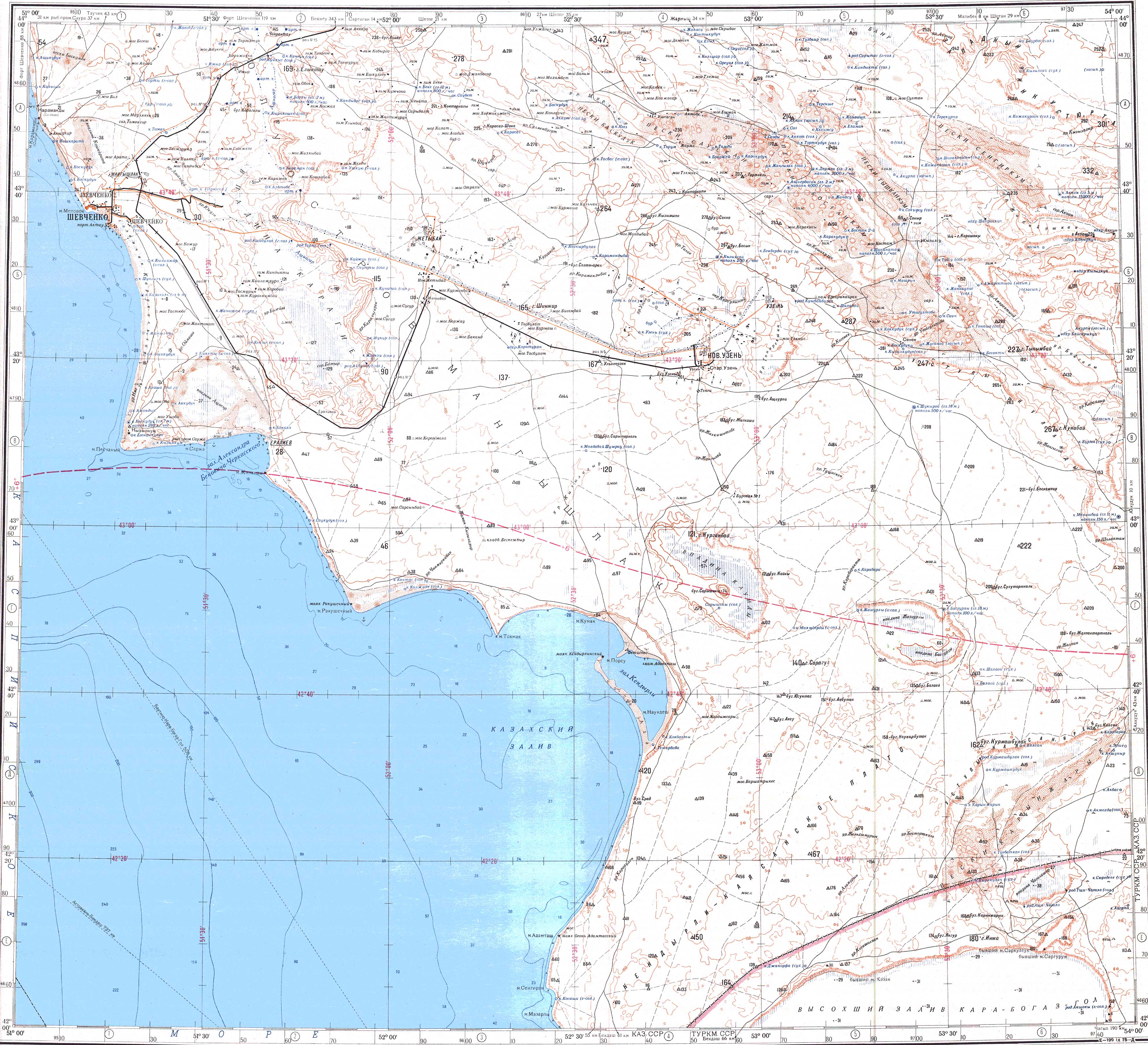
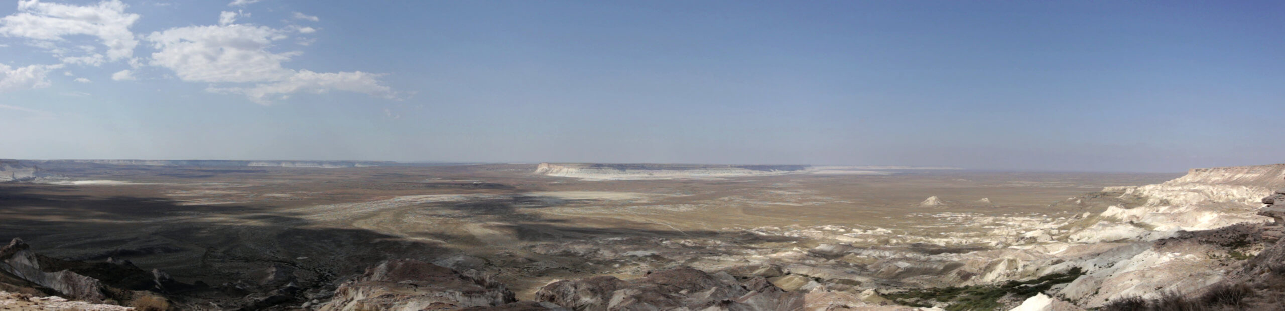
Tucked away inland of Sarytash Bay is the 10th-century Shakpak Ata, one of Mangystau’s most well-known historical-religious sites. Tauchik, a small village, is the nearest
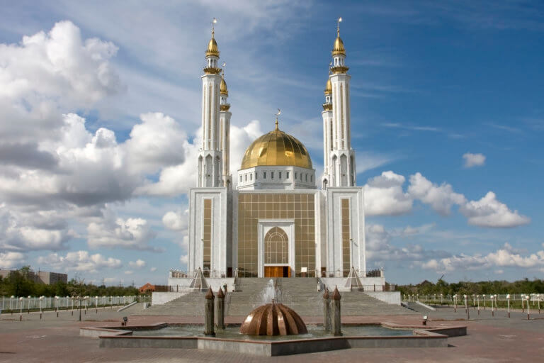
Aktobe is on the western end of the Kazakh Steppe, less than 100km from the Russian border. As the capital city of the Aktobe Region,