Karagiye Depression
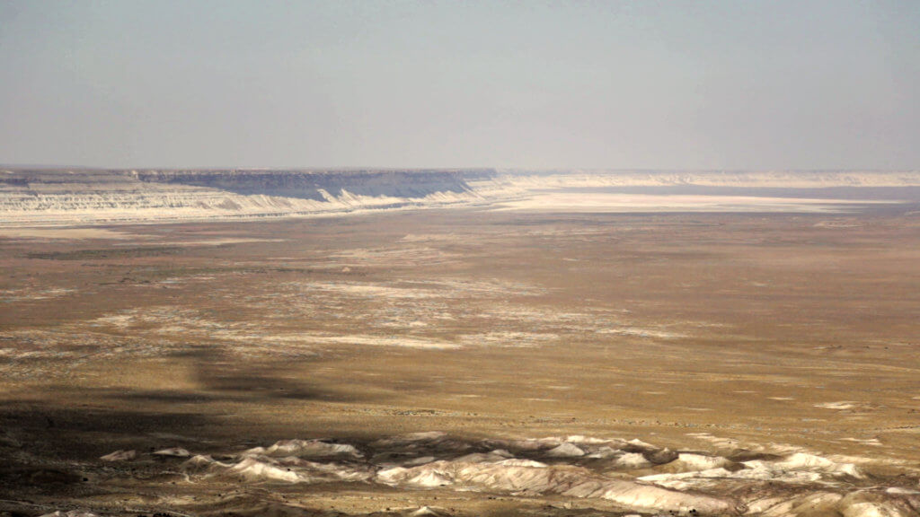
Fifty-five kilometres south-east of Aktau city is the Karagiye Depression. At –132m below sea level, it’s the lowest point in Central Asia and the former Soviet Union. Size estimates vary, but it’s over 20km wide and at least 40km in length. Its deepest point is the Batyr salt flat, in the southern half. The name […]
Senek Sands
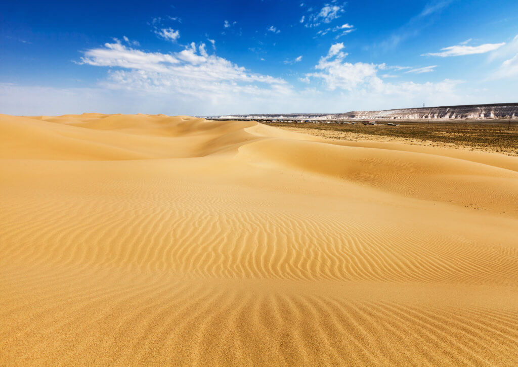
Senek Sands, also known as Tuyesu Sands, is an 11 x 30km area of dunes located halfway between Zhanaozen city and Boszhira. Barchan dunes cover the south and east corner, and the north and west quarters are desert shrubland. The southern section of the Senek sands, with Senek village in background.© Marina Khlybova Desertification in […]
Shopan Ata
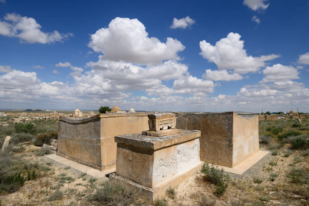
Twenty kilometres north of Senek village is Shopan Ata, a circa 10th-century underground mosque that is one of Mangystau’s oldest religious sites. It was first surveyed in the early 1950s by a research team led by Malbagar Mendikulov, a prominent Kazakh architect who incorporated traditional designs into his architectural work to preserve national character and […]
Shalkar-Nura
Shalkar-Nura is in the central section of the Irgiz-Turgay Nature Reserve and is a part of the Aktobe Region’s easternmost district: Irgiz. Although the district appears small on a map, it’s in fact slightly larger than Switzerland, but has a vastly smaller population by comparison: 15,000 vs. 8.5 million people. The Irgiz-Turgay Nature Reserve itself […]
Karynzharyk Depression
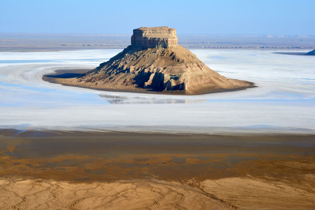
Karynzharyk is an 85km long and 15km wide depression in the Ustyurt Nature Reserve. The nearest village is Ak-Kuduk, which is situated 25km to the east, on the edge of the Karynzharyk Sands. Most of the depression is 40–50m below sea level. The Western Chink Ustyurt overlooks the eastside, reaching heights of 200–340m above sea […]
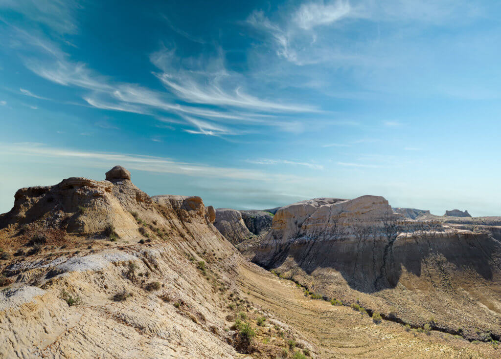
Boszhira
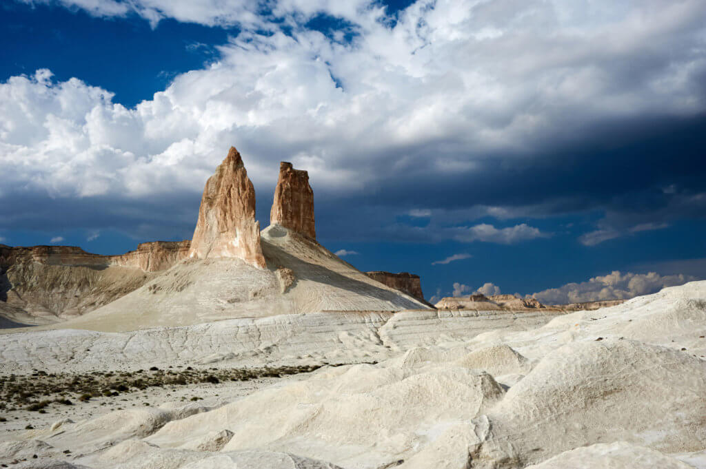
Boszhira is Central Asia’s rival to the USA’s Monument Valley National Park, with the bonus of no crowds. Packed into a 7km x 7km area are several distinct red sandstone rock formations set atop waterworn chalk slabs. The most striking are the Azu Tisteri rock spires, meaning ‘fang teeth’ in Kazakh. Without a doubt, these […]