Fort Shevchenko and Bautino
Perched on the western tip of the Tub-Karagan Peninsula is the city of Fort Shevchenko and its satellite port town of Bautino. It’s the Mangystau
Perched on the western tip of the Tub-Karagan Peninsula is the city of Fort Shevchenko and its satellite port town of Bautino. It’s the Mangystau
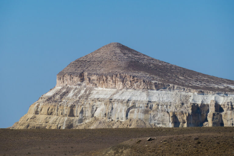
Sherkala (332m) is 5km west of Ayrakty-Shomanai on the northern side of the West Karatau Range. Its name is derived from the Persian words for

Twenty kilometres north of Senek village is Shopan Ata, a circa 10th-century underground mosque that is one of Mangystau’s oldest religious sites. It was first