Senek Sands
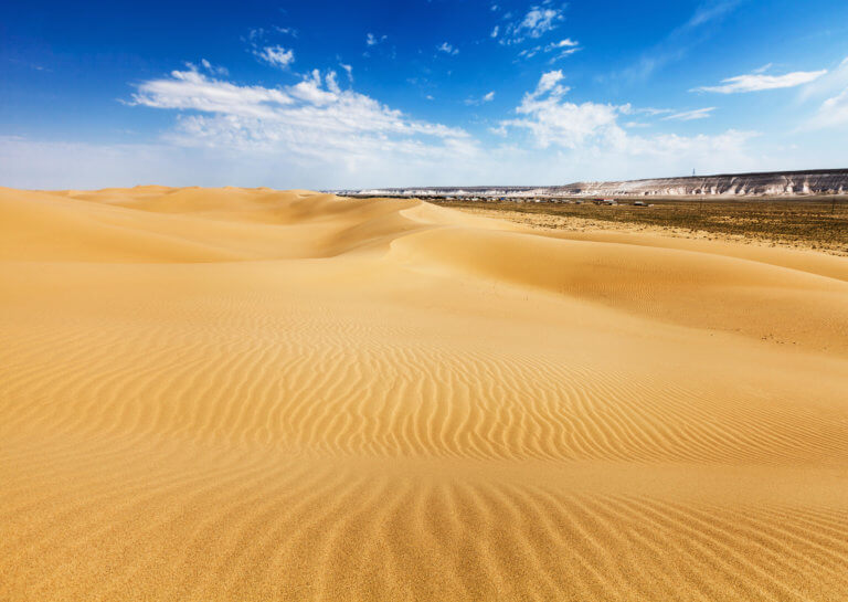
Senek Sands, also known as Tuyesu Sands, is an 11 x 30km area of dunes located halfway between Zhanaozen city and Boszhira. Barchan dunes cover
Tucked away inland of Sarytash Bay is the 10th-century Shakpak Ata, one of Mangystau’s most well-known historical-religious sites. Tauchik, a small village, is the nearest settlement and 20km south-east. Hewn out of a cave on Mount Ungaza’s slopes, the underground mosque has three entrances and four chambers serving as prayer rooms. It’s free to enter and open from sunrise to sunset, but be sure to respect local practice and cover up your arms and legs.
Incised on its chalk-white walls are depictions of animals, plants, Arabic inscriptions and ornately sculpted designs. There are also drawings of open palms, which is unusual considering traditional Islam prohibits depicting the human form. The explanation for this is because it was a Sufi religious site, and the open palm symbolises protection from evil. One of the most notable inscriptions is an old Sufi poem ruminating about the temporality of life. Scholars believe that Shakpak Ata was a monastic Sufi sanctuary specialised in healing.
Elsewhere on the cliff are 2,000 more tombs hidden away in numerous niches beneath the mosque. According to local folklore, Shakpak Ata was renowned throughout Mangystau because a spiritual healer lived here who had the powers to cure people of illness and disease. A spiral staircase leads from the ground floor up to a pavilion. In the centre of the crypt, there’s a section with an open roof to let the light in. Nearby there are also a few cells previously used as a home for religious hermits.
Six kilometres east of Shakpak Ata is the rarely visited Ungaza Gorge. In 2022, the Sartas Hotel and visitor centre opened up near the secluded shoreline of Sarytash Bay, less than five kilometres north of Shakpak Ata. It’s the only place to stay in the area, offering bike rentals, comfortable rooms for 3–5 people, and a cafe-restaurant for meals.
Shakpak Ata (Şaqpaq-Ata/Шакпак-Ата): 44.4334, 51.1382
Ungaza Gorge (Ungaza Şatqaly/Ущелье Унгаза): 44.4385, 51.2115
Mount Ungaza (Ungaza Tauy/Гора Унгаза): 44.4411, 51.2003
Sarytash Bay (Sarytaş Şyğanağy/Залив Сарыташ): 44.5123, 51.1417
Sartas Hotel (Sartas Qonaq Üiı/Отель Сартас):44.4722, 51.1142
Tauchik village (Tauşyq): 44.3461, 51.3504
Qazaq TV’s English-language short documentary about Shakpak Ata.
Short Shakpak Ata photo story.
1:200k Soviet map of Sarytash Bay coastal and inland areas, pictured in the top-left quarter.

Senek Sands, also known as Tuyesu Sands, is an 11 x 30km area of dunes located halfway between Zhanaozen city and Boszhira. Barchan dunes cover

Overlooking Dead Kultuk is New Alexander Fort. It’s on the cliff edge of the Western Chink Ustyurt, on the east side of Kaydak Bay, and

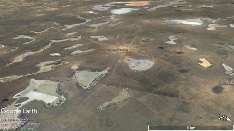
At the northern edge of the Ryn Desert is Kamysh-Samara. The 60km x 100km plain was once home to at least a dozen lakes, with
Copyright © Planet Esoterica, 2024. No part of this site, www.planetesoterica.com, may be reproduced in whole or in part in any manner without the permission of the copyright owner. All rights reserved.
Made with 