Golubaya Bay
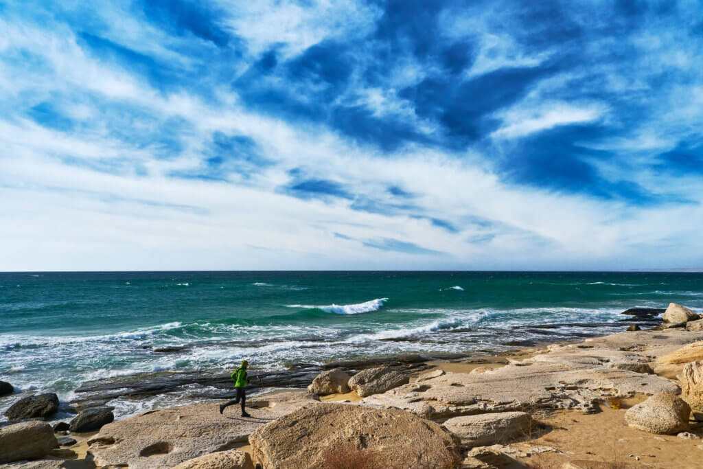
On the south-west side of the Tub-Karagan Peninsula is the half-kilometre-long Golubaya Bay (aka Blue Bay), which is sandwiched between the Uzynkuduk and Tulkili Gorges. Less than a kilometre inland is Tulkili Fortress. Isolated stretches of sandy beach and unnamed rocky coves extend either side of the bay. Fifteen kilometres to the south is Cape […]
Tyuleniy Archipelago
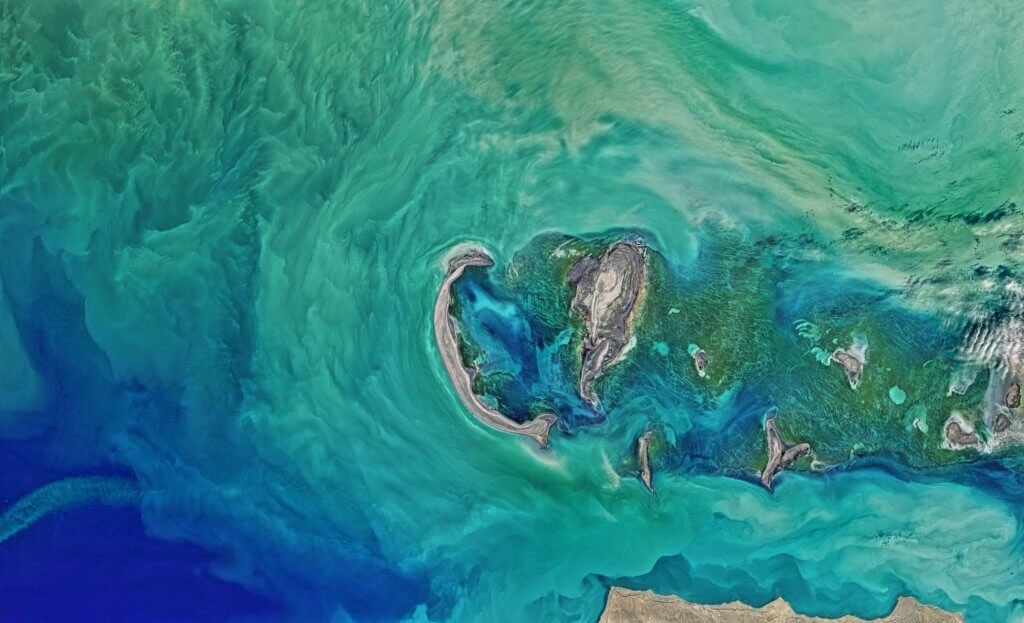
Ten kilometres off the north coast of the Tub-Karagan Peninsula is the Tyuleniy Archipelago. Tyulen means ‘seal’ in Russian. The archipelago comprises five named islands. Kulaly and Morskoy are the largest and westernmost islands and measure 20–30km in length. The other three are the arid and inhospitable Novy, Rybachy, and Podgorny. The nearest place to […]
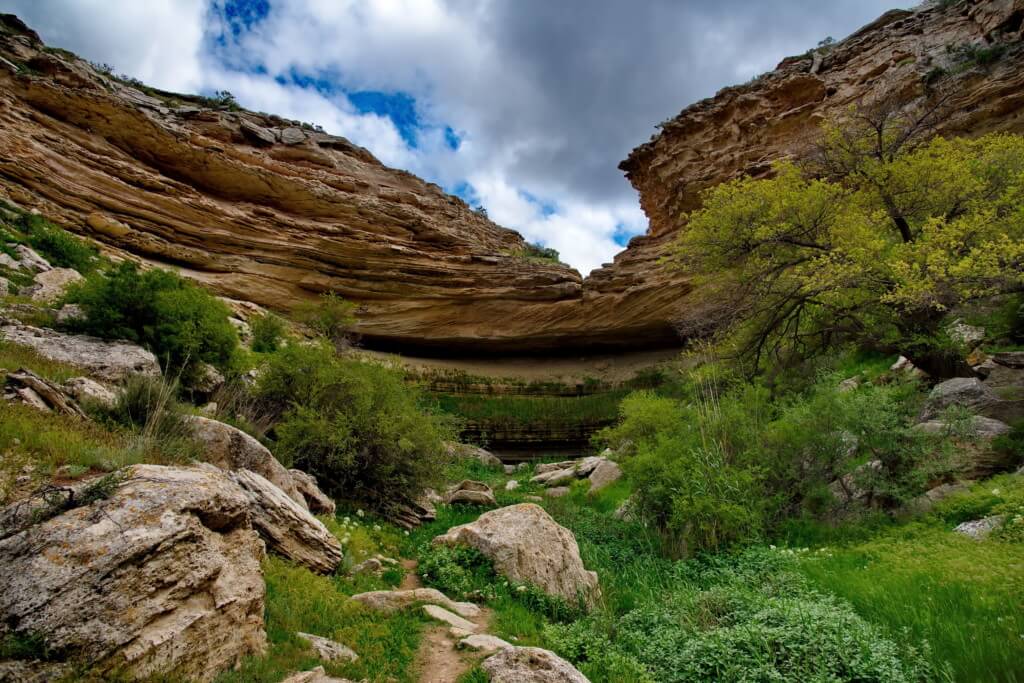
Kapamsay Canyon
Kapamsay Canyon is a few kilometres south-west of Shakpak Ata. When approaching it from afar, you’ll see the white-sided walls of the chasm peeking up above the vegetated plateau. It’s 4km long, up to 70m deep, and the canyon floor is strewn with car-sized boulders offering plenty of shelter from the sun. There are similar-sized […]
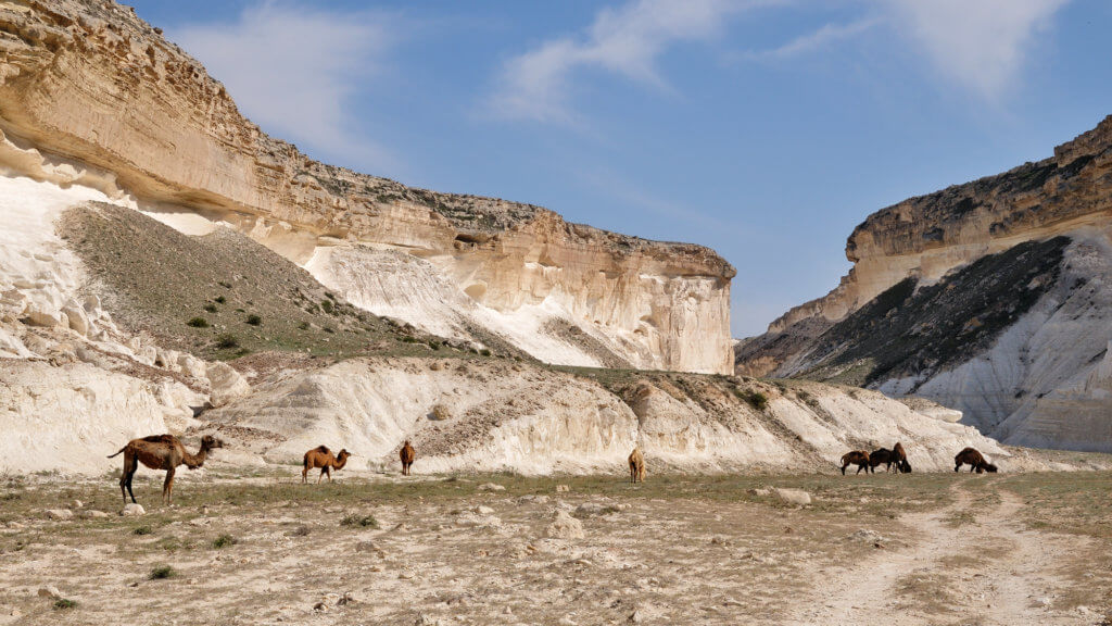
Karakavak and Shuldor Canyons
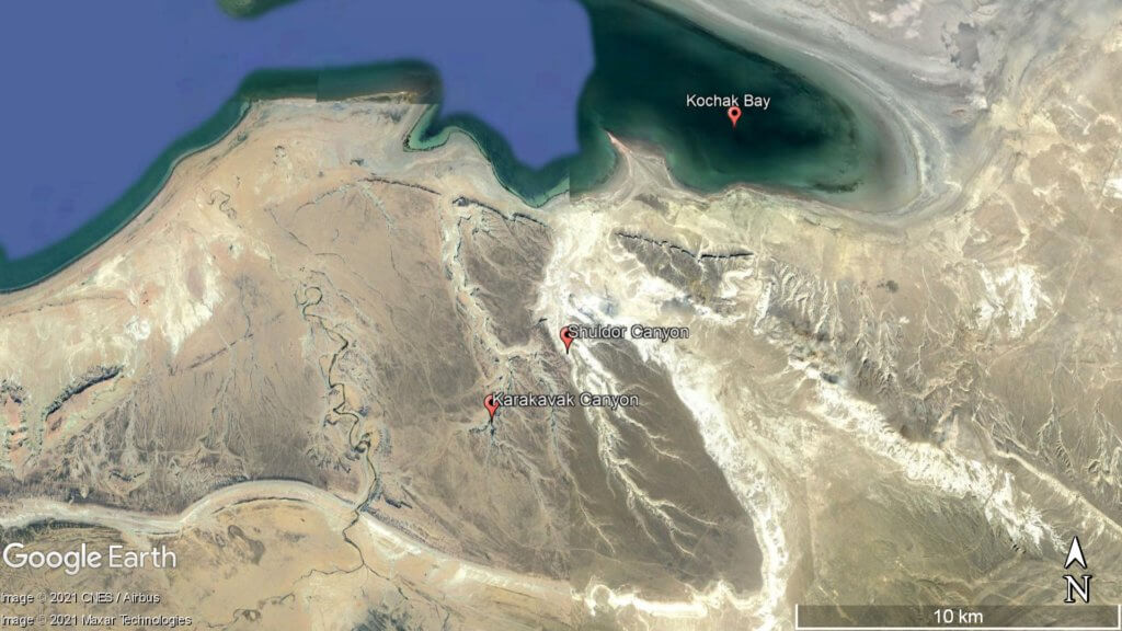
The main sections of the Karakavak and Shuldor Canyons start east of a dirt road junction. Both run north for roughly 9km before opening up in front of a small and shallow cove in Kochak Bay, which can freeze in winter. Their total drop in elevation is over 150m and the cliff height is similar […]
Shakpak-Ata
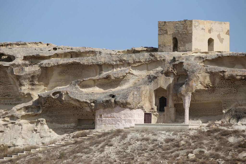
Tucked away inland of Sarytash Bay is the 10th-century Shakpak Ata, one of Mangystau’s most well-known historical-religious sites. Tauchik, a small village, is the nearest settlement and 20km south-east. Hewn out of a cave on Mount Ungaza’s slopes, the underground mosque has three entrances and four chambers serving as prayer rooms. It’s free to enter […]
Tamshaly and Meretsay Canyons
The rugged Tamshaly and Meretsay Canyons are 15km west of Cape Zhygylgan and 30km east of Fort Shevchenko. Their names are used interchangeably. However, officially the 3-kilometre-long Meretsay is a tributary canyon to the 10-kilometre-long Tamshaly. Where the two ravines meet is a clear freshwater lake, with steps leading down from the west side of […]
Cape Zhigylgan
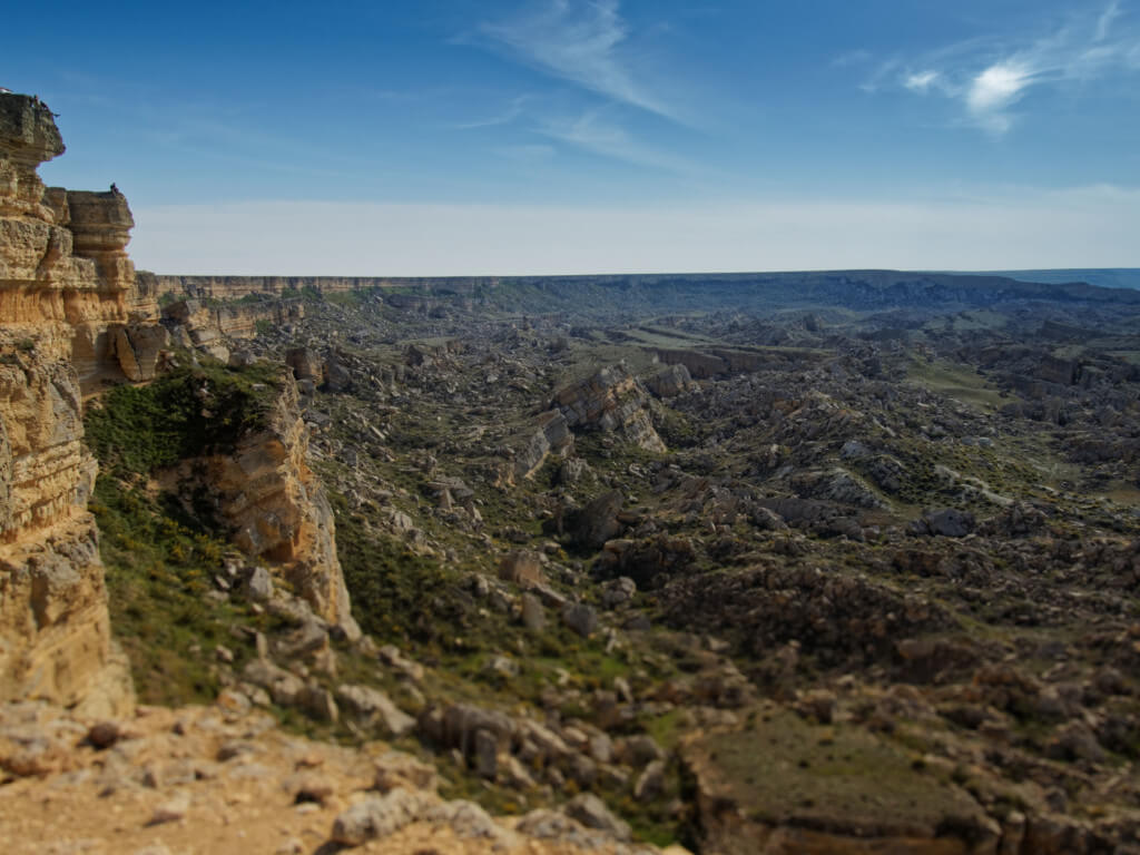
Forty kilometres west of the Aktau-Buzachinsky Nature Reserve, on the Tub-Karagan Peninsula’s north coast, is the rubble-strewn landscape of Cape Zhygylgan, meaning ‘fallen’ in Kazakh. An enormous landslide created the area, caused by erosion of the sand and clay layered beneath the dense limestone bedrock. © Profile Arxitektor © Alexandr Malyshev The slide zone itself […]