
Torysh Valley
Eight kilometres east of the Aktau–Buzachi Peninsula road and 30km west of Sherkala is the ‘Valley of Balls’. Locally known as Torysh, the valley lies
Eight kilometres east of the Aktau–Buzachi Peninsula road and 30km west of Sherkala is the ‘Valley of Balls’. Locally known as Torysh, the valley lies
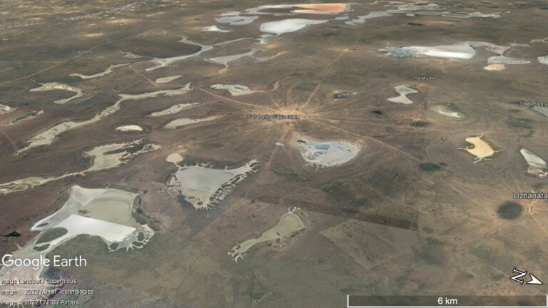
If you’re interested in obscure, remotely situated deserts, the Buzachi Peninsula has five small, sandy ones*: the Kyzylkum, Uvahkum, Shulshagylkum, Zhilimshik and Egizlak. The Kyzylkum
At the northern edge of the Ryn Desert is Kamysh-Samara. The 60km x 100km plain was once home to at least a dozen lakes, with