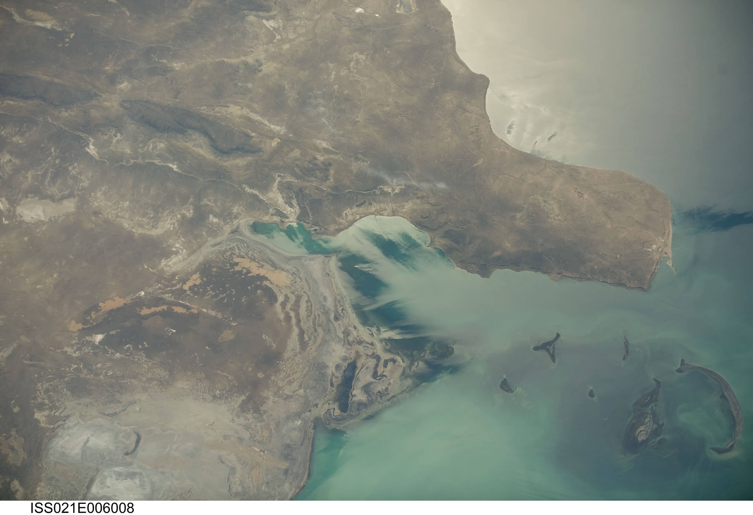
Kamysh-Samara
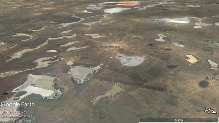
At the northern edge of the Ryn Desert is Kamysh-Samara. The 60km x 100km plain was once home to at least a dozen lakes, with

At the northern edge of the Ryn Desert is Kamysh-Samara. The 60km x 100km plain was once home to at least a dozen lakes, with

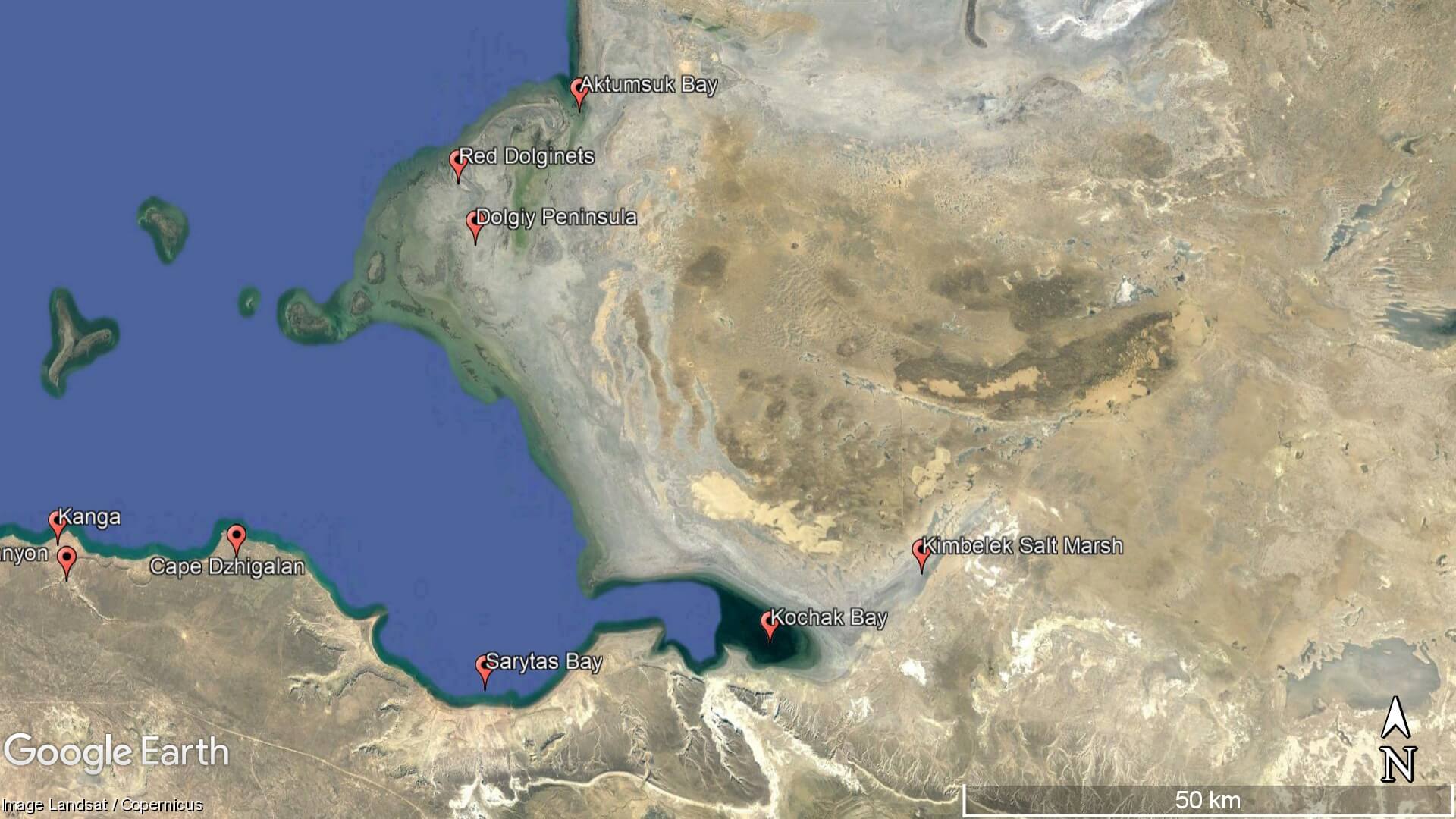
Kapamsay Canyon is a few kilometres south-west of Shakpak Ata. When approaching it from afar, you’ll see the white-sided walls of the chasm peeking up

Boszhira is Central Asia’s rival to the USA’s Monument Valley National Park, with the bonus of no crowds. Packed into a 7km x 7km area