Sor Tuzbair
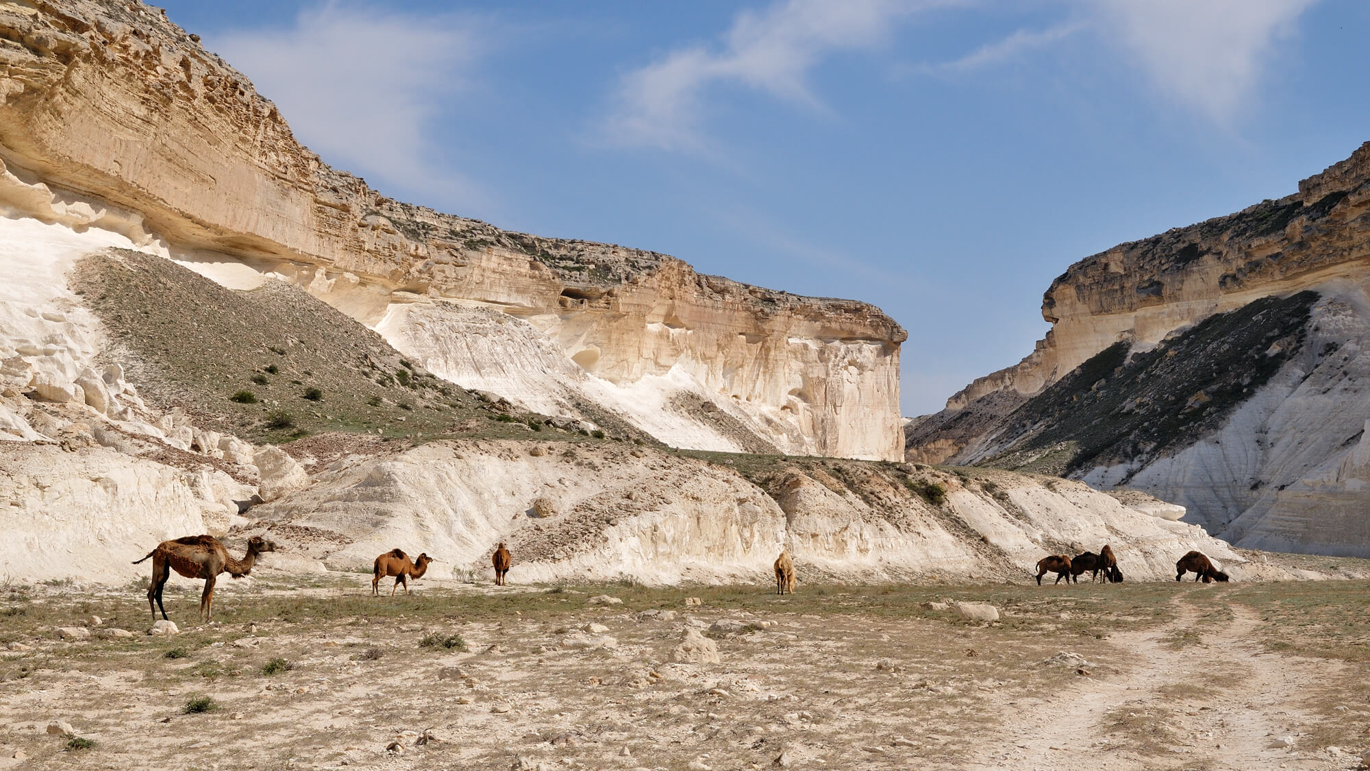
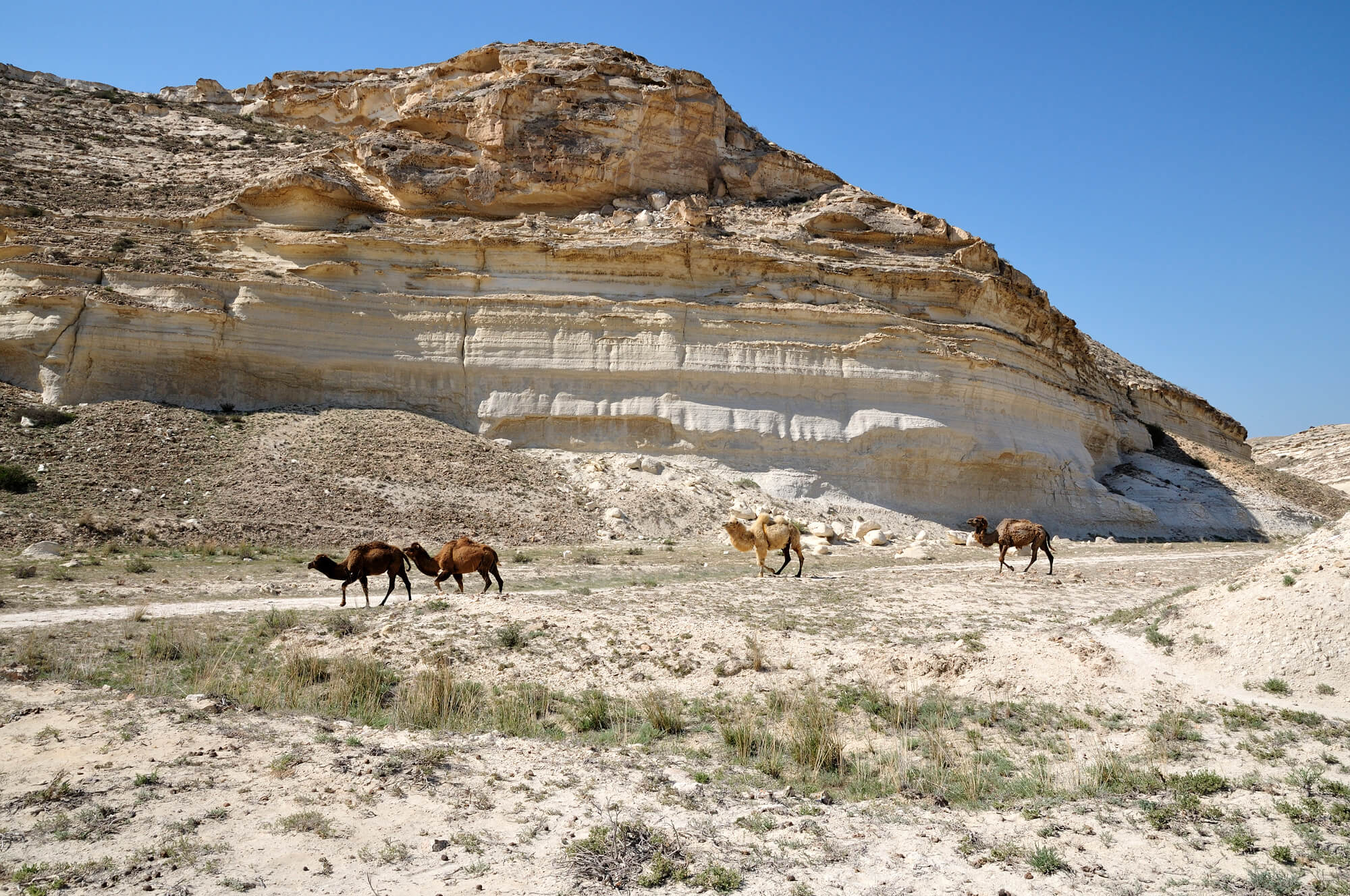
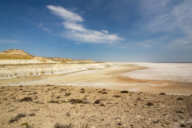
Eight kilometres south of Kyzyl Ravine is Sor Tuzbair*, a salt marsh stretching 15km along the edge of the Western Chink Ustyurt. Along with Boszhira,
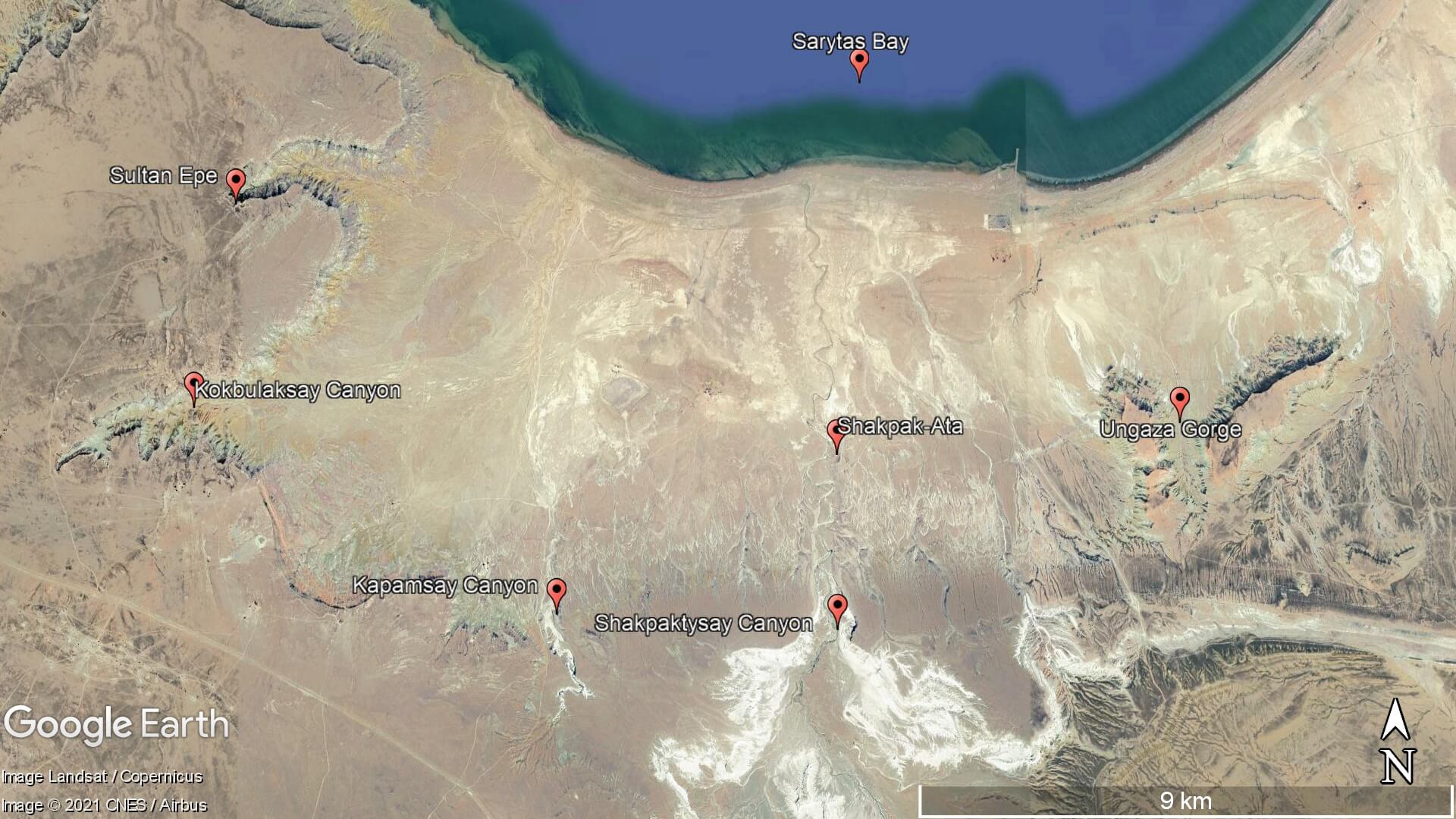
Eight kilometres south of Kyzyl Ravine is Sor Tuzbair*, a salt marsh stretching 15km along the edge of the Western Chink Ustyurt. Along with Boszhira,

Twenty kilometres north of Senek village is Shopan Ata, a circa 10th-century underground mosque that is one of Mangystau’s oldest religious sites. It was first

Karynzharyk is an 85km long and 15km wide depression in the Ustyurt Nature Reserve. The nearest village is Ak-Kuduk, which is situated 25km to the