Sor Tuzbair
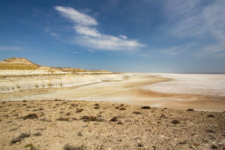
Eight kilometres south of Kyzyl Ravine is Sor Tuzbair*, a salt marsh stretching 15km along the edge of the Western Chink Ustyurt. Along with Boszhira,

Eight kilometres south of Kyzyl Ravine is Sor Tuzbair*, a salt marsh stretching 15km along the edge of the Western Chink Ustyurt. Along with Boszhira,
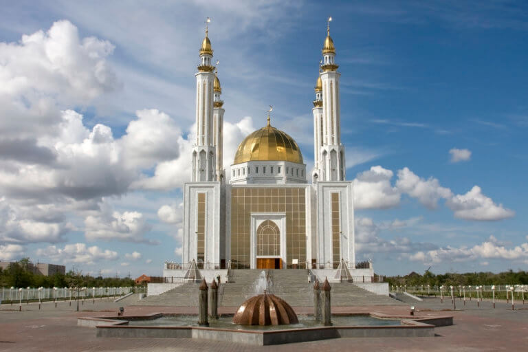
Aktobe is on the western end of the Kazakh Steppe, less than 100km from the Russian border. As the capital city of the Aktobe Region,

Fifteen kilometres north-west of Shetpe town is Ayrakty-Shomanai, or as 19th-century Ukrainian artist-poet Taras Shevchenko preferred to call it during his stay in Mangystau, ‘The