Central Asia Travel Guides
If you’re on the lookout for Central Asia travel guides, you’ve come to right place! Here’s our rundown of what’s on the market and the
If you’re on the lookout for Central Asia travel guides, you’ve come to right place! Here’s our rundown of what’s on the market and the

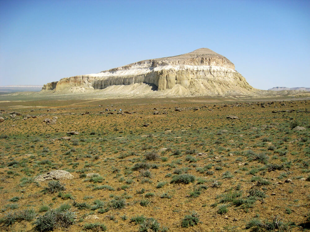
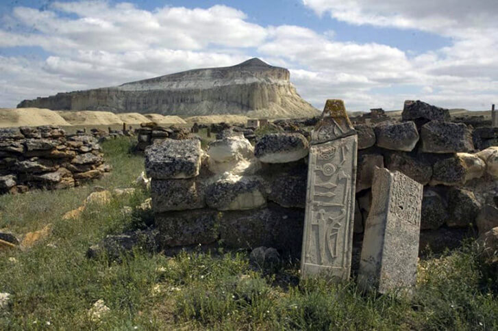
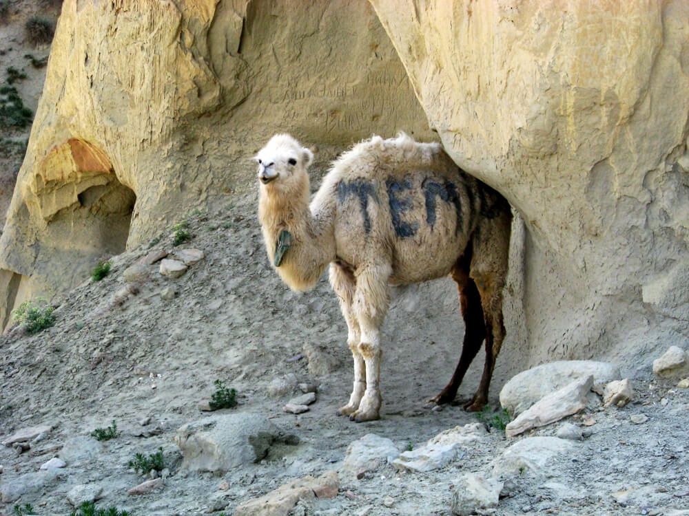
Boszhira is Central Asia’s rival to the USA’s Monument Valley National Park, with the bonus of no crowds. Packed into a 7km x 7km area

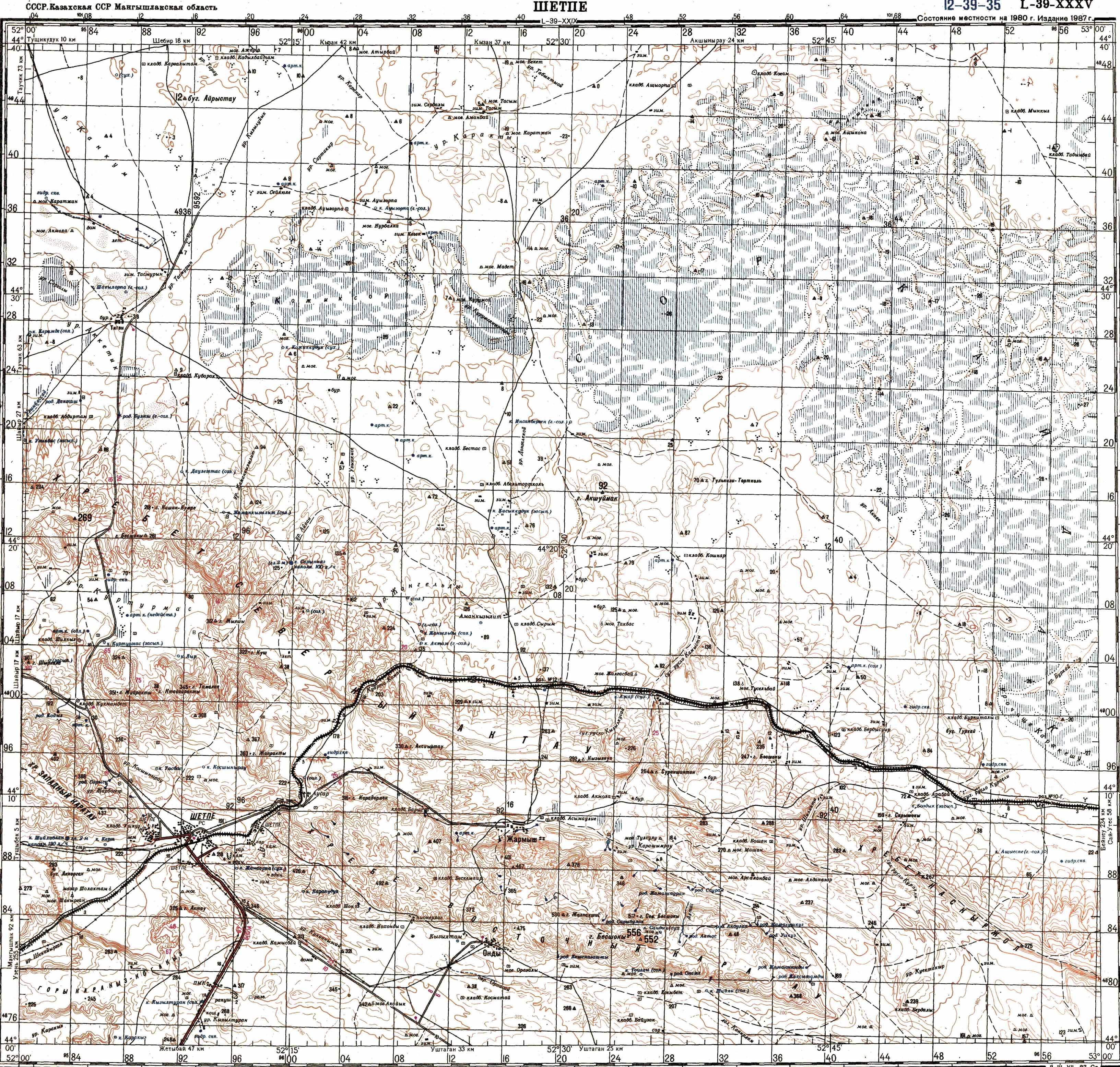
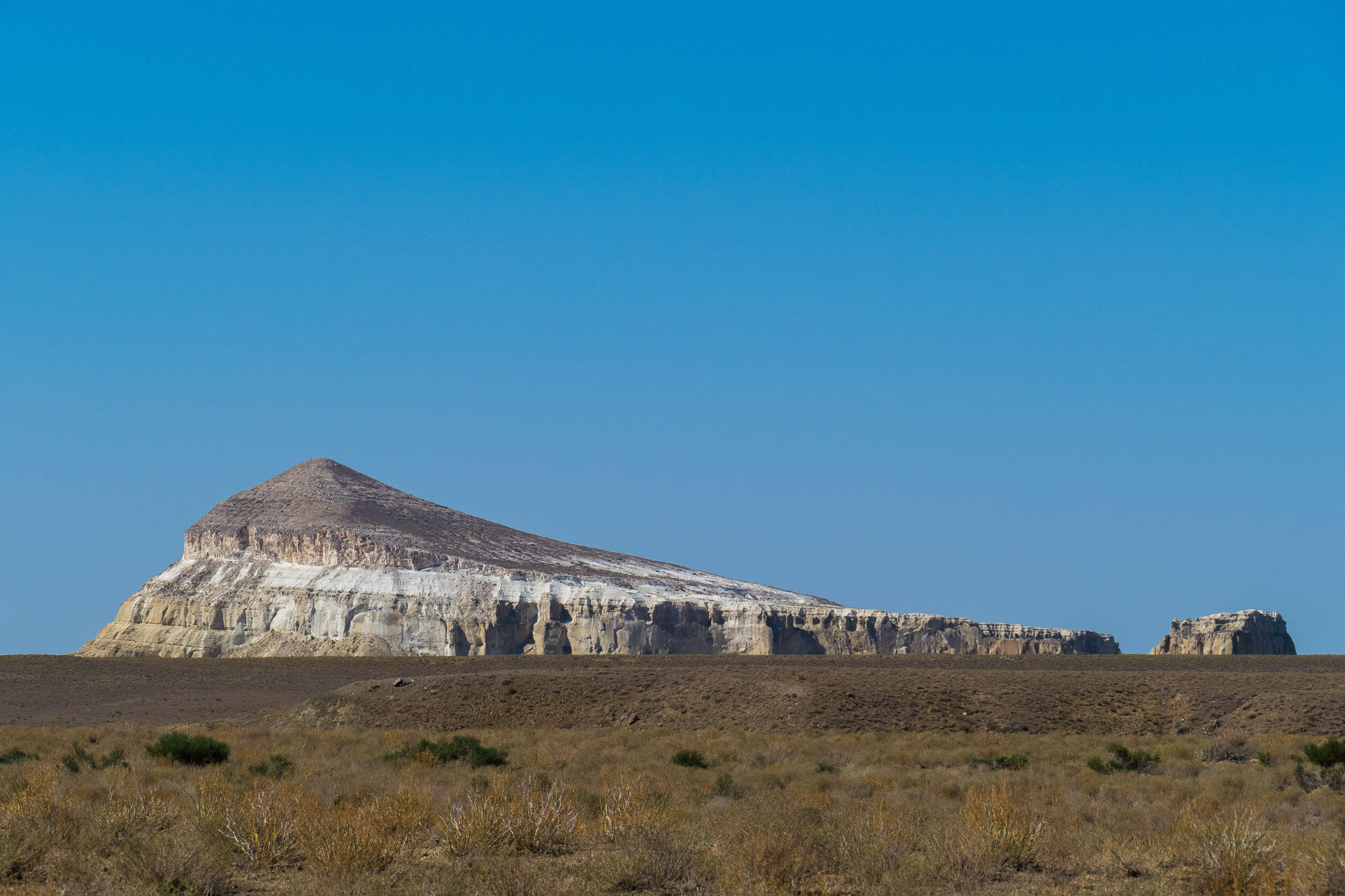
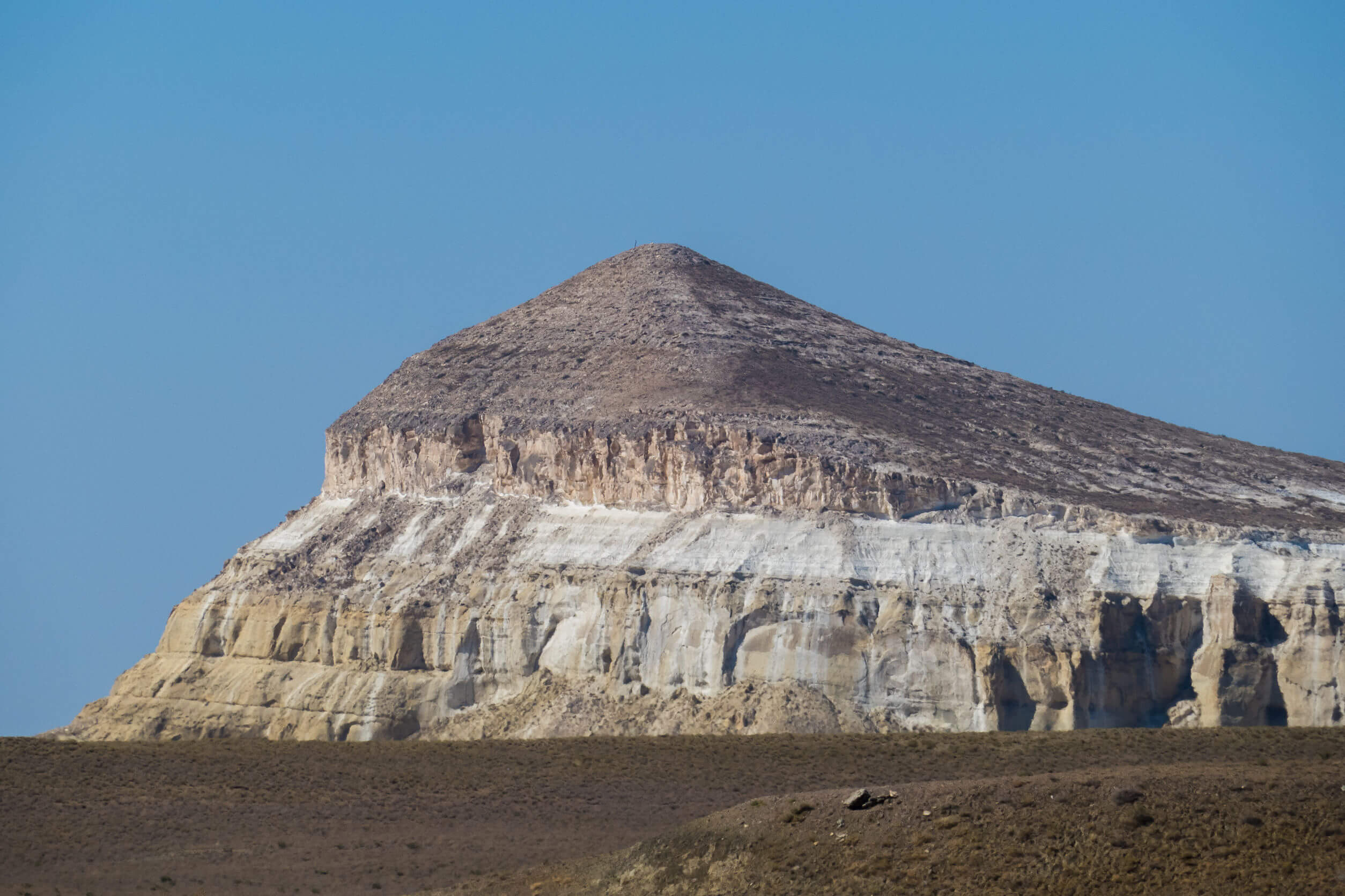
Karynzharyk is an 85km long and 15km wide depression in the Ustyurt Nature Reserve. The nearest village is Ak-Kuduk, which is situated 25km to the