Ryn Desert
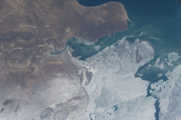
The Ryn, also known as the Naryn Sands, is Kazakhstan’s westernmost desert. It spans for over 350km between the Volga and Ural Rivers, and over
The Ryn, also known as the Naryn Sands, is Kazakhstan’s westernmost desert. It spans for over 350km between the Volga and Ural Rivers, and over
If you’re interested in obscure, remotely situated deserts, the Buzachi Peninsula has five small, sandy ones*: the Kyzylkum, Uvahkum, Shulshagylkum, Zhilimshik and Egizlak. The Kyzylkum

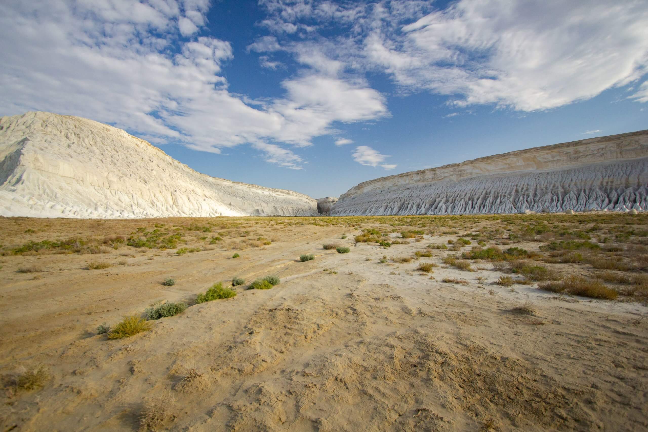
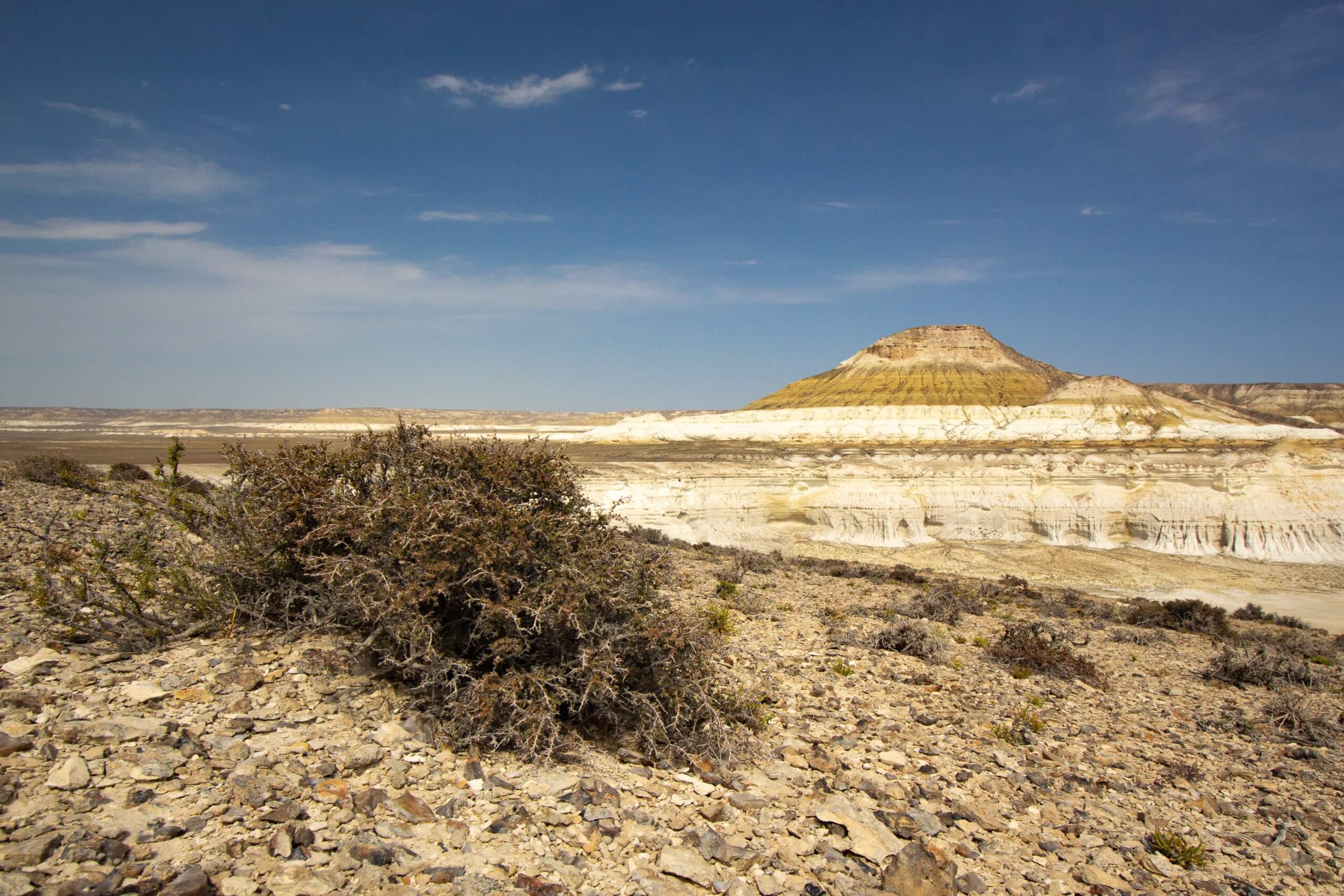
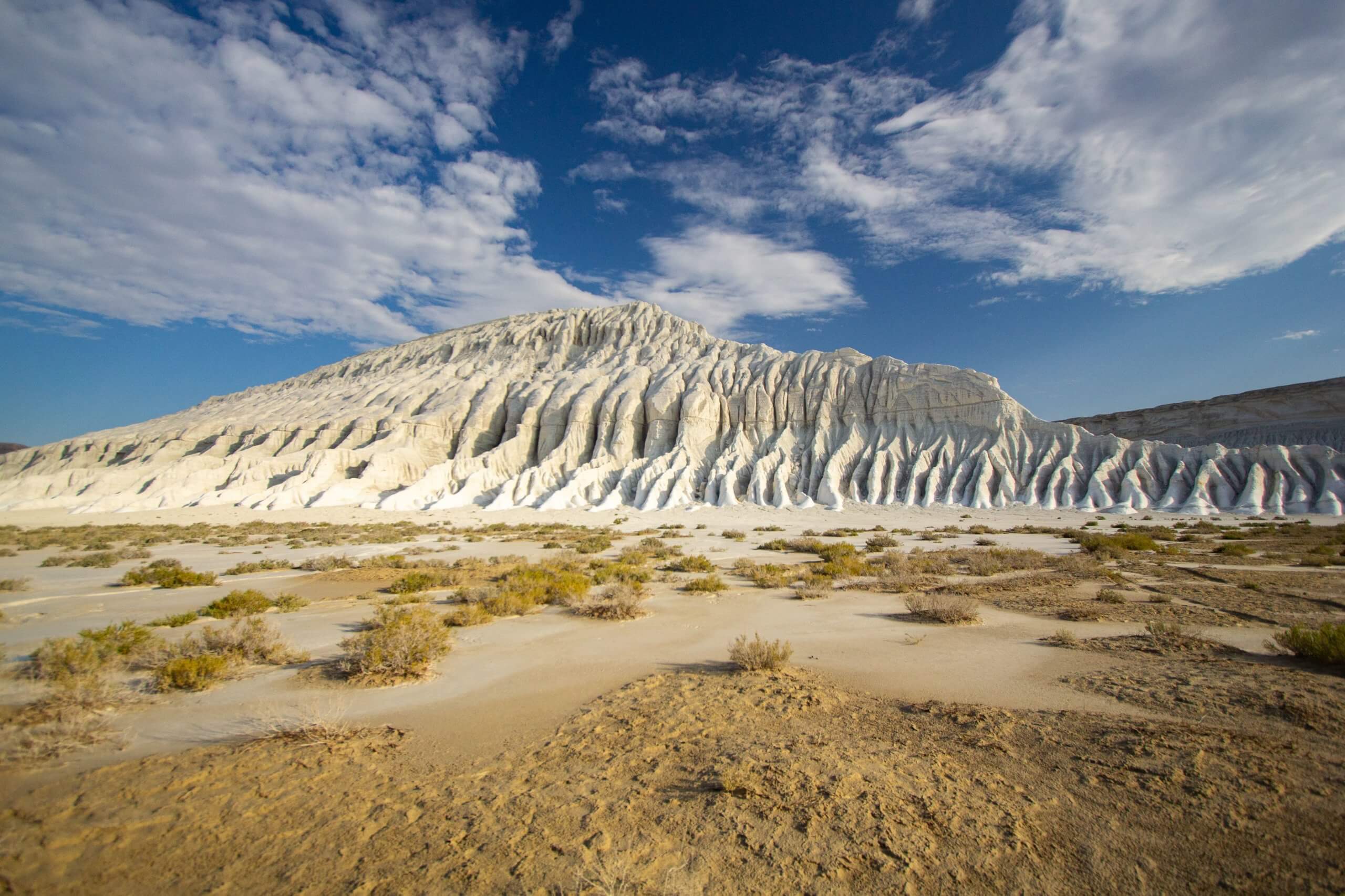
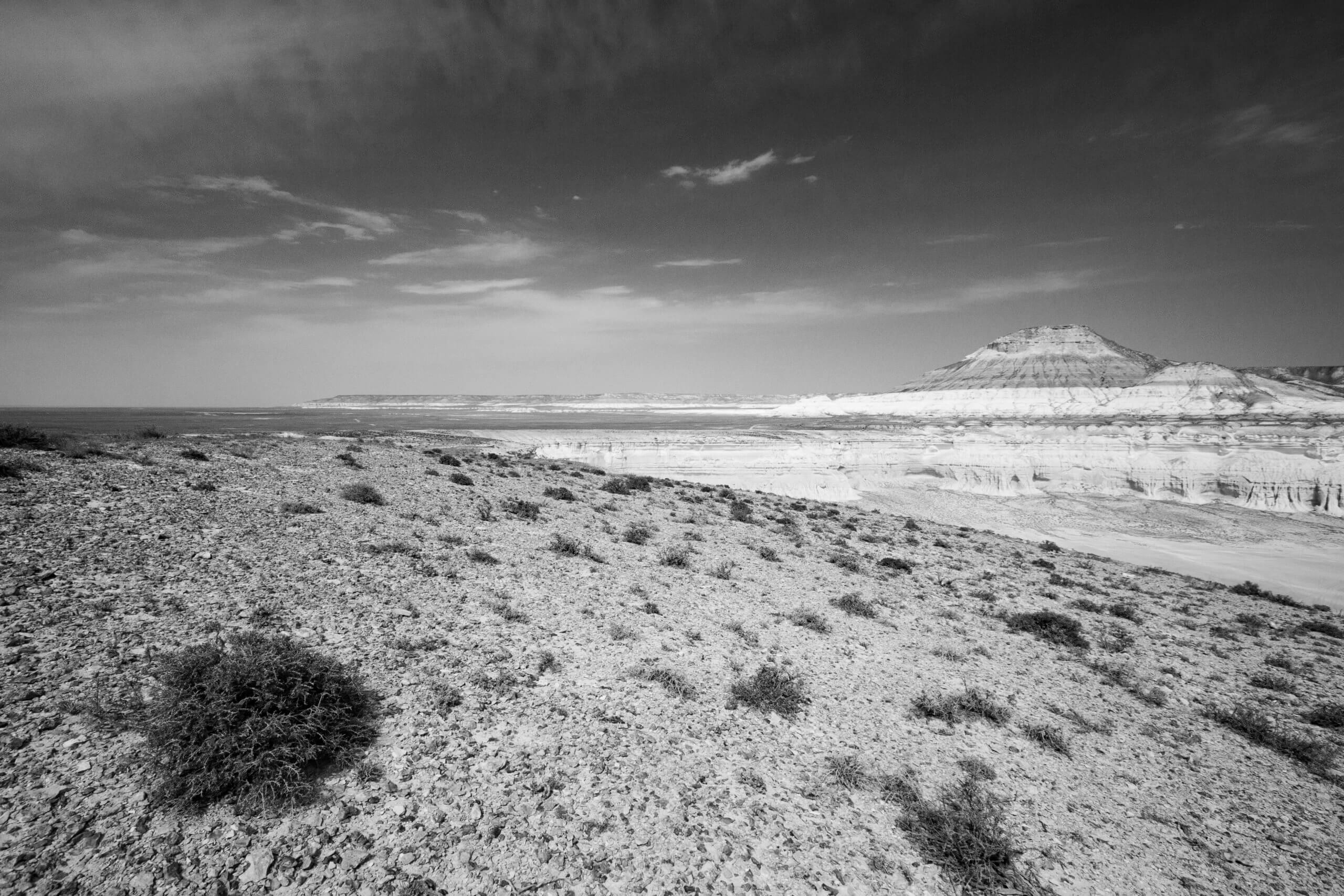
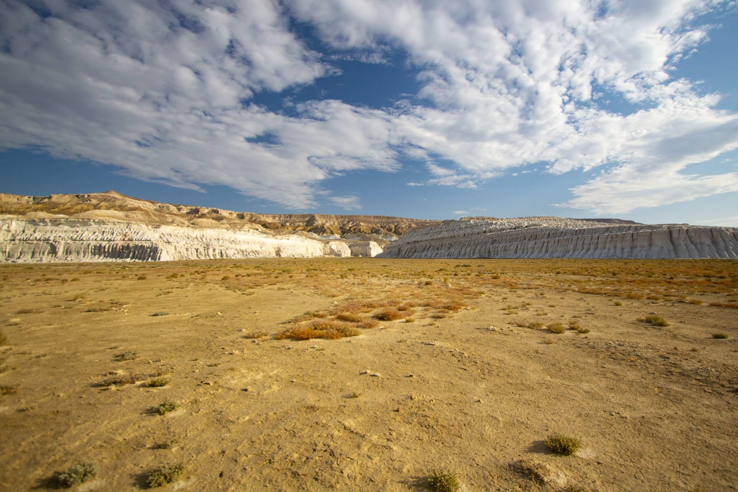
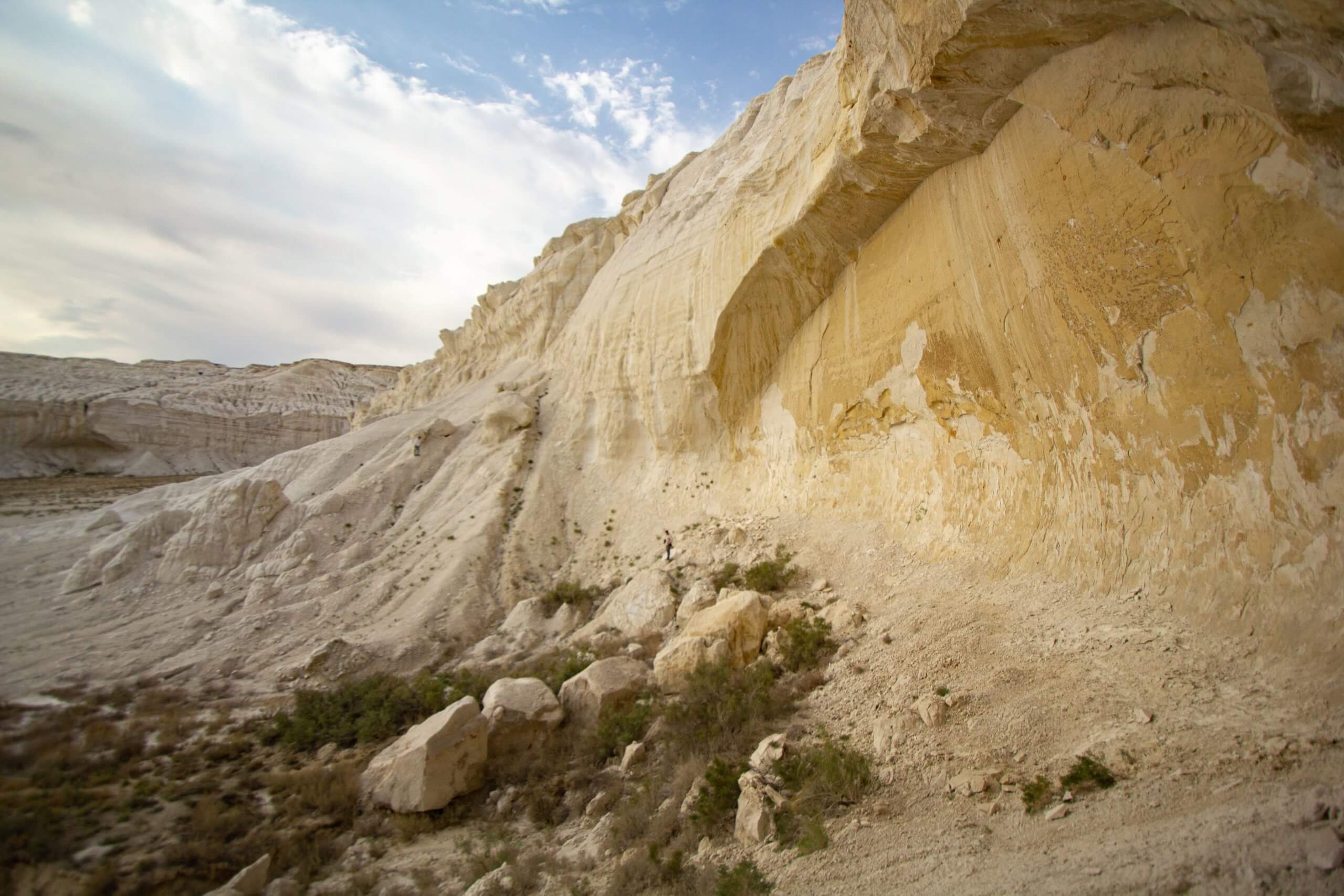
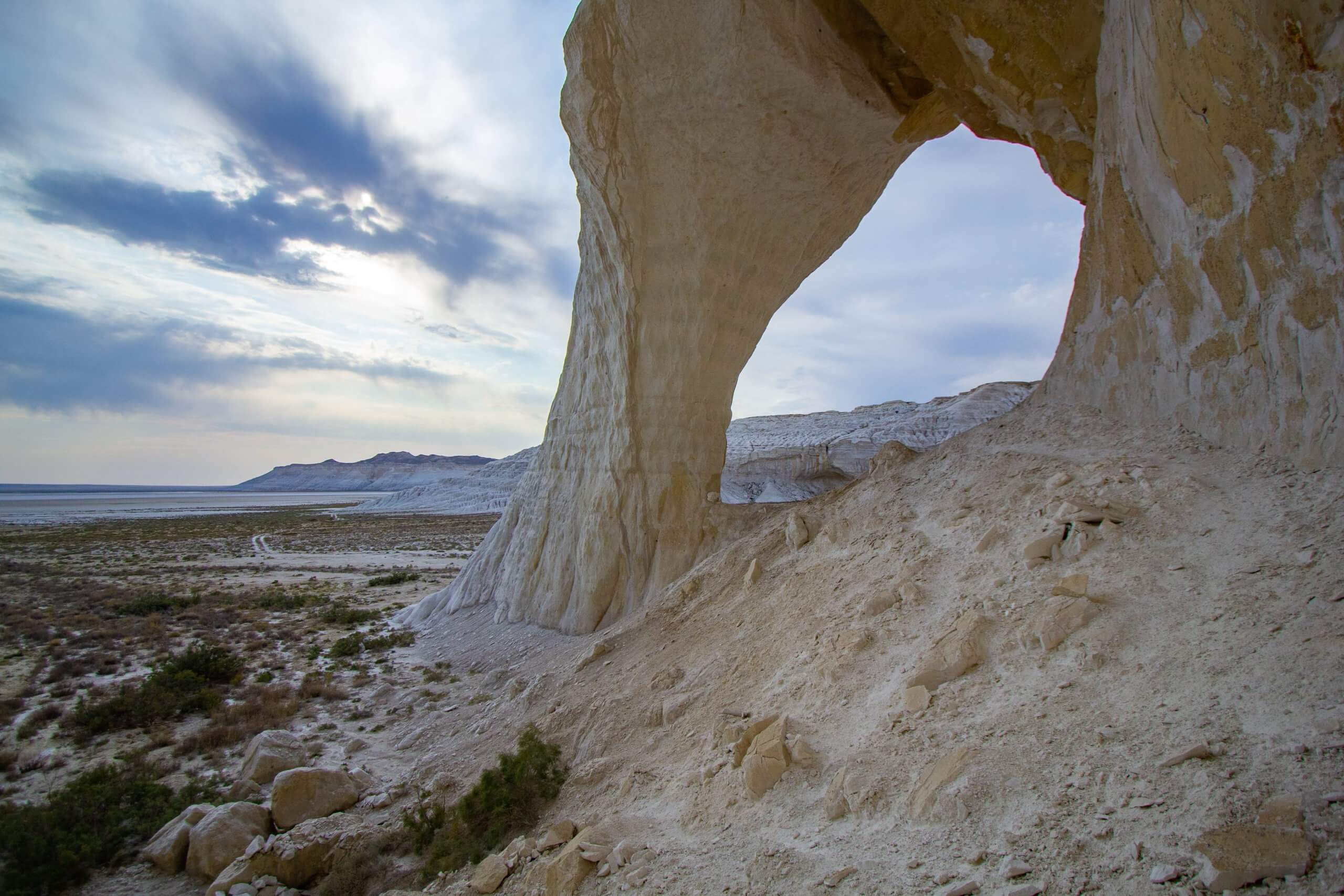
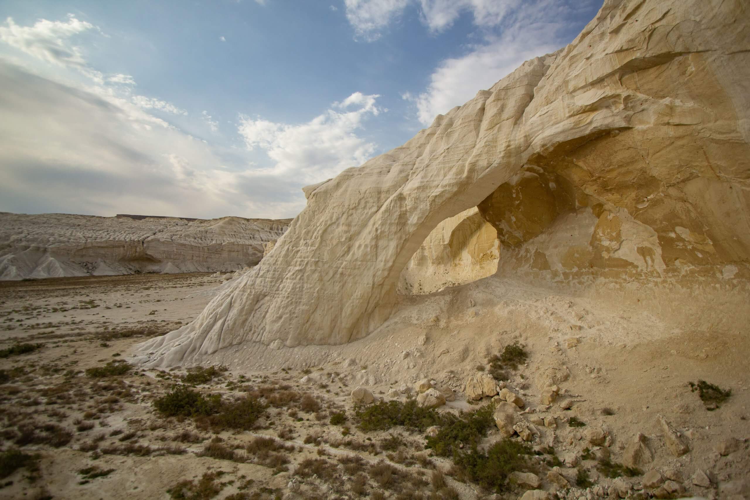
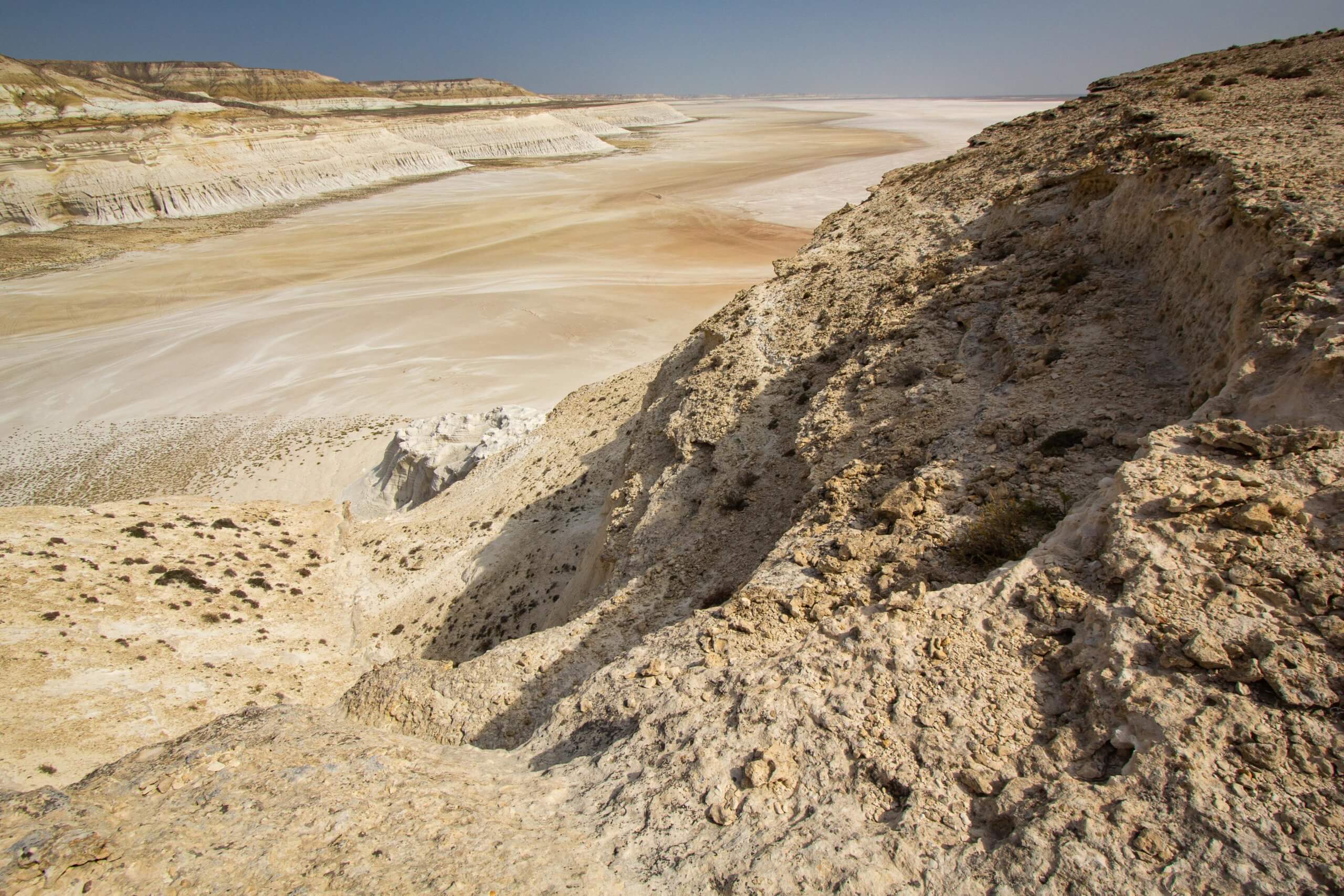
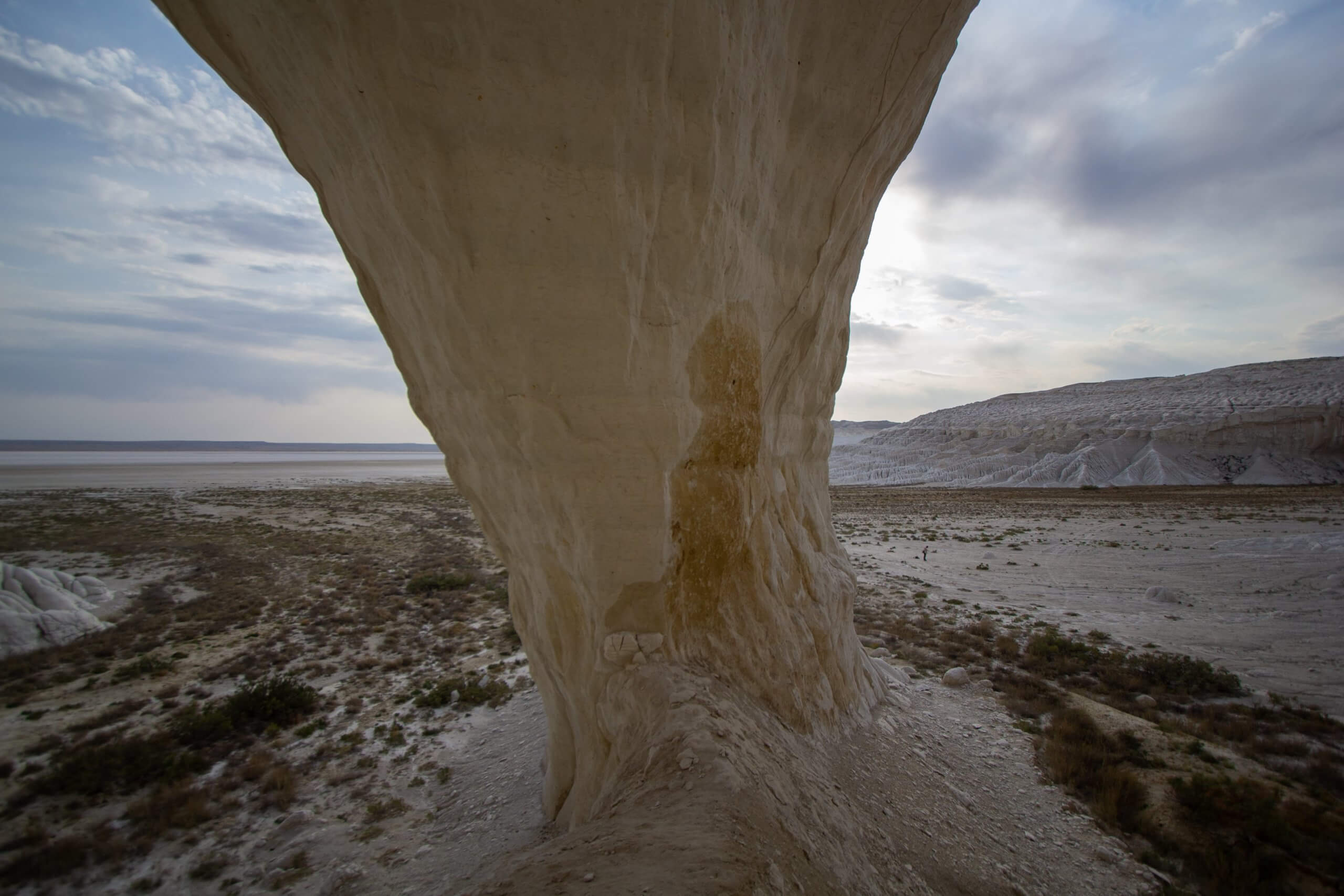
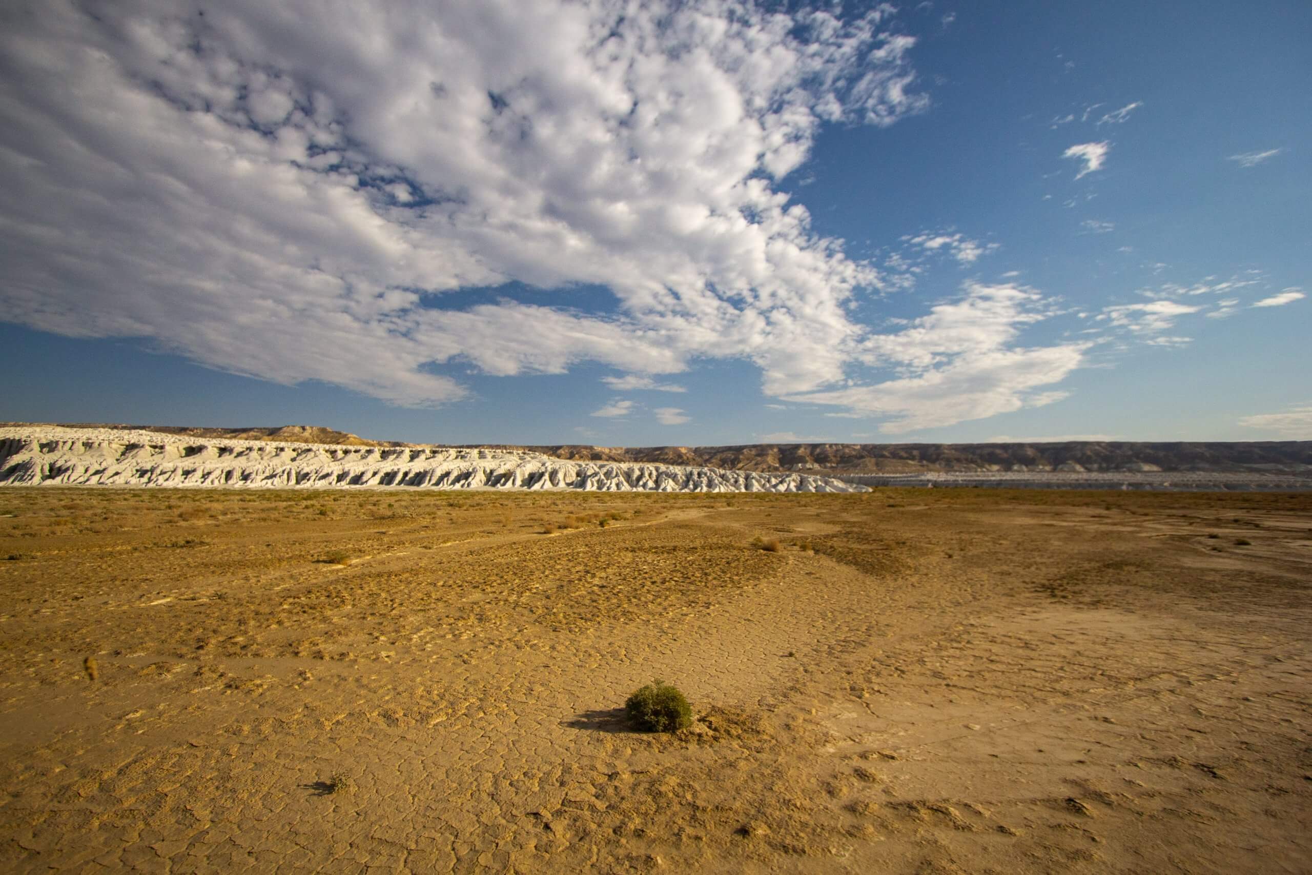
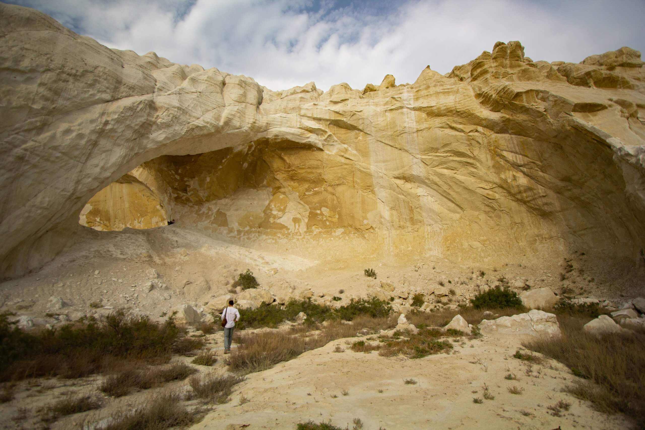
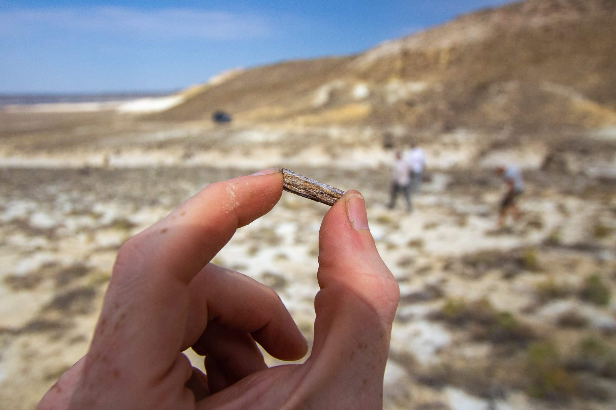
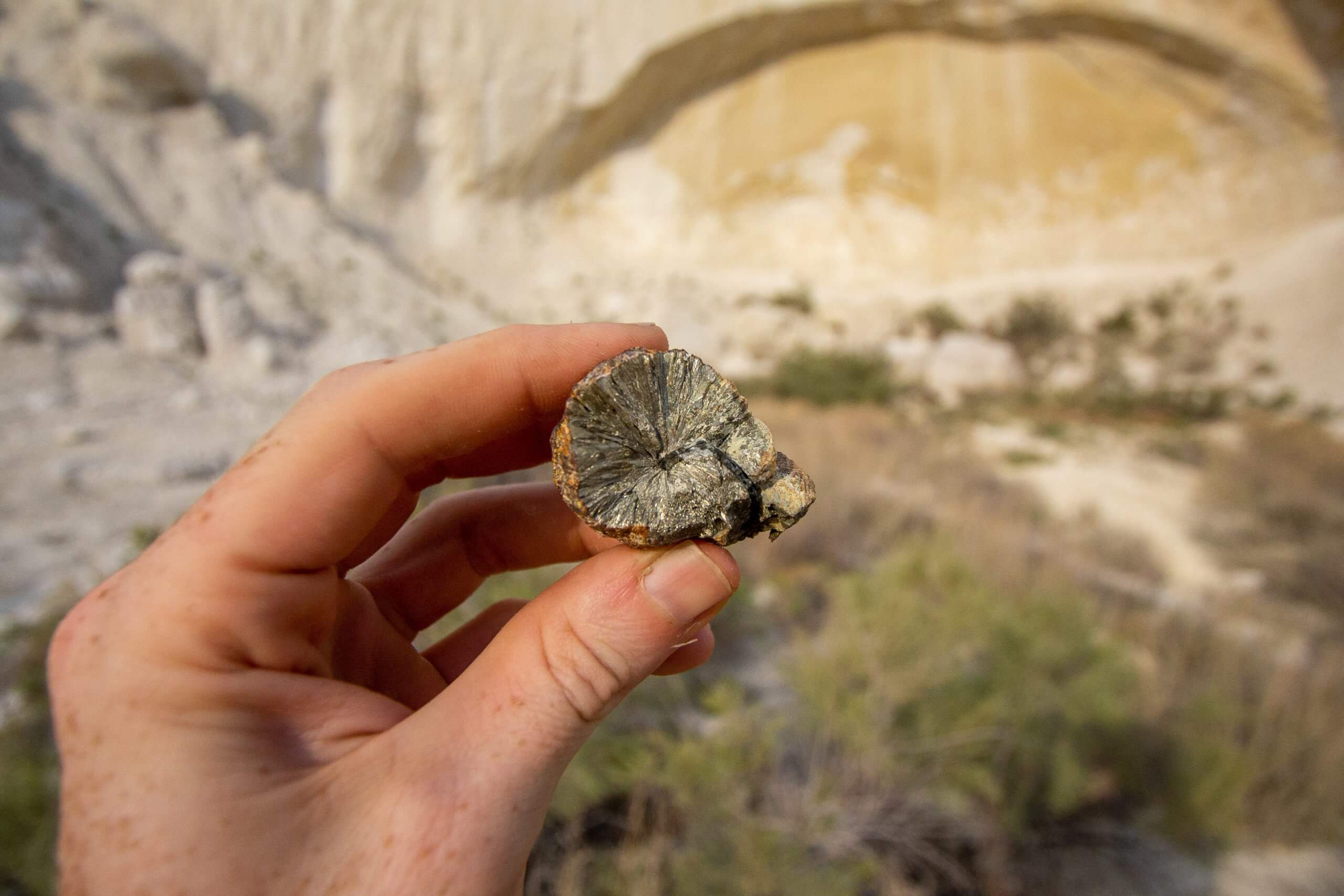
Kapamsay Canyon is a few kilometres south-west of Shakpak Ata. When approaching it from afar, you’ll see the white-sided walls of the chasm peeking up