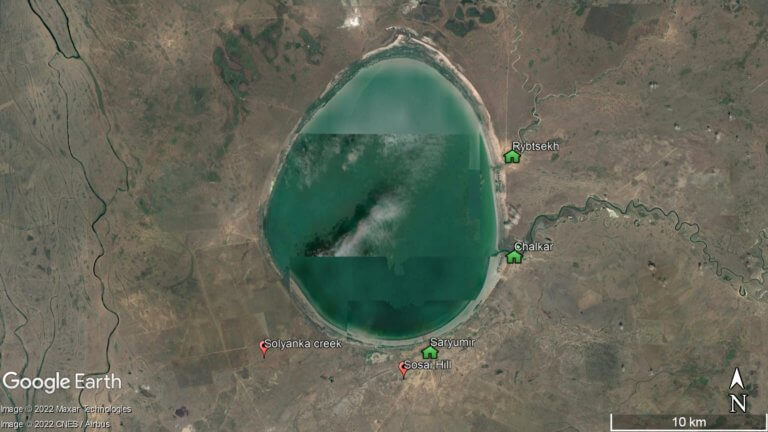
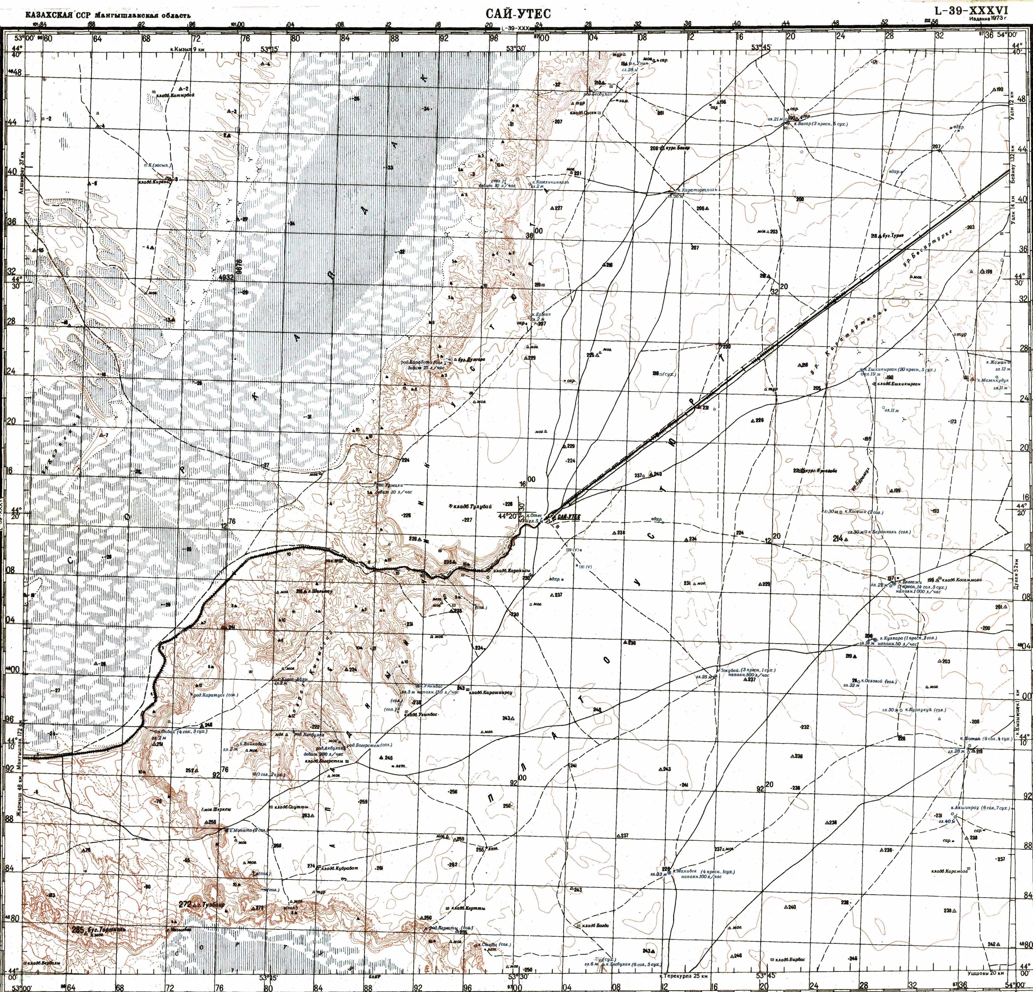
Shalkar Lake
The brackish, egg-shaped Shalkar Lake – 65km south of Oral – measures 15km x 18km and receives water from two rivers on the east side:

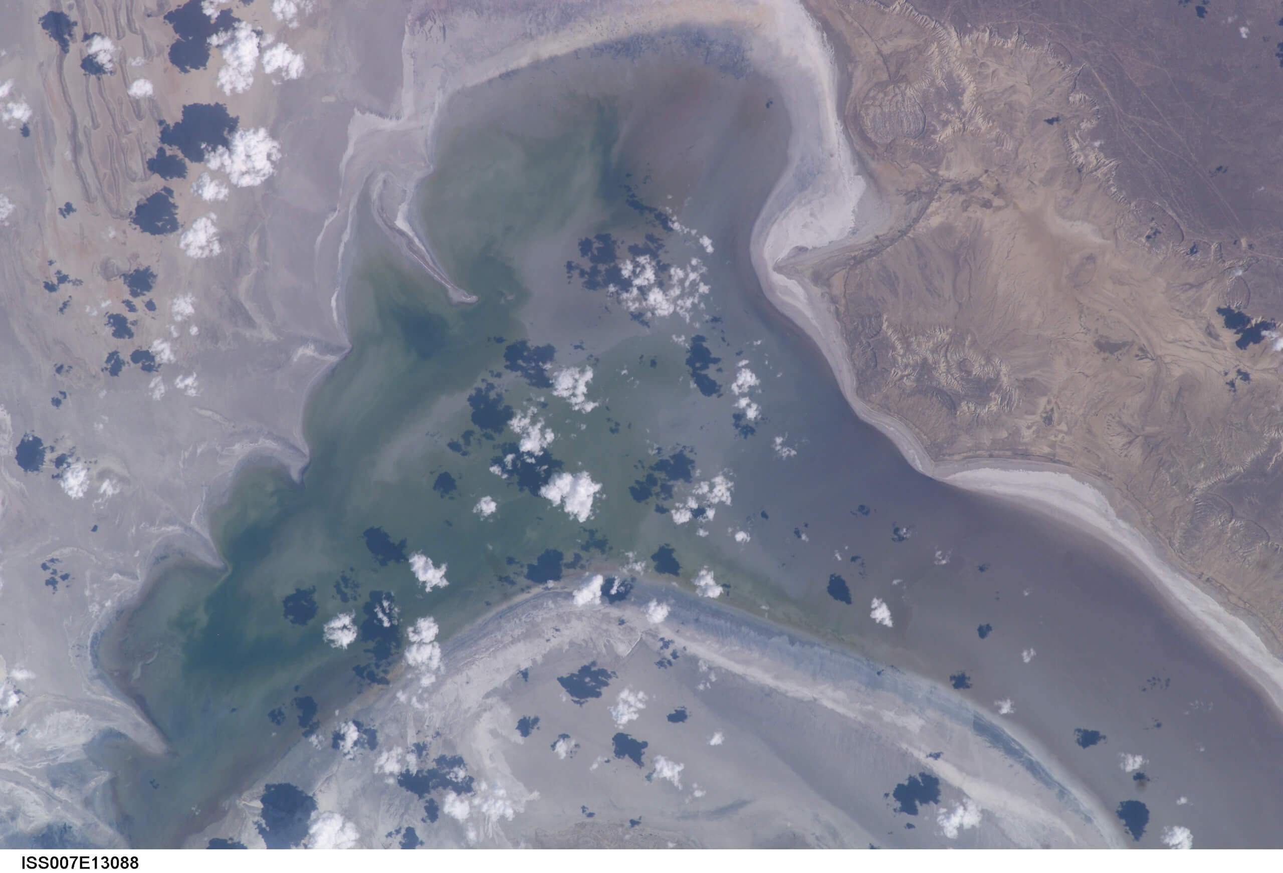
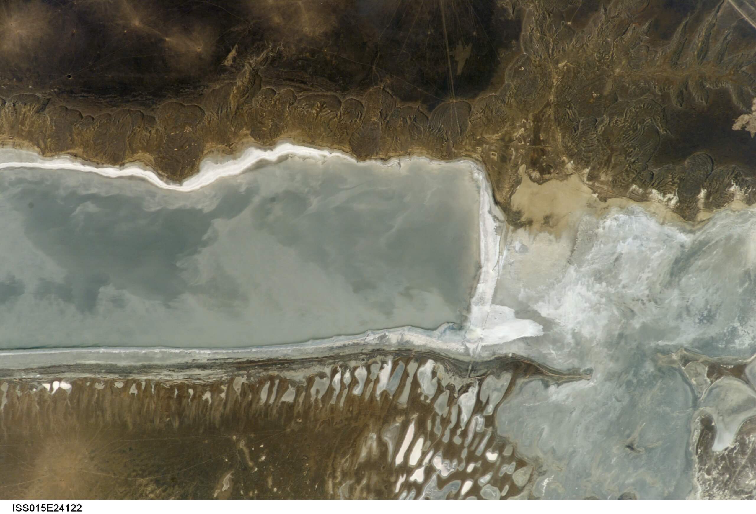
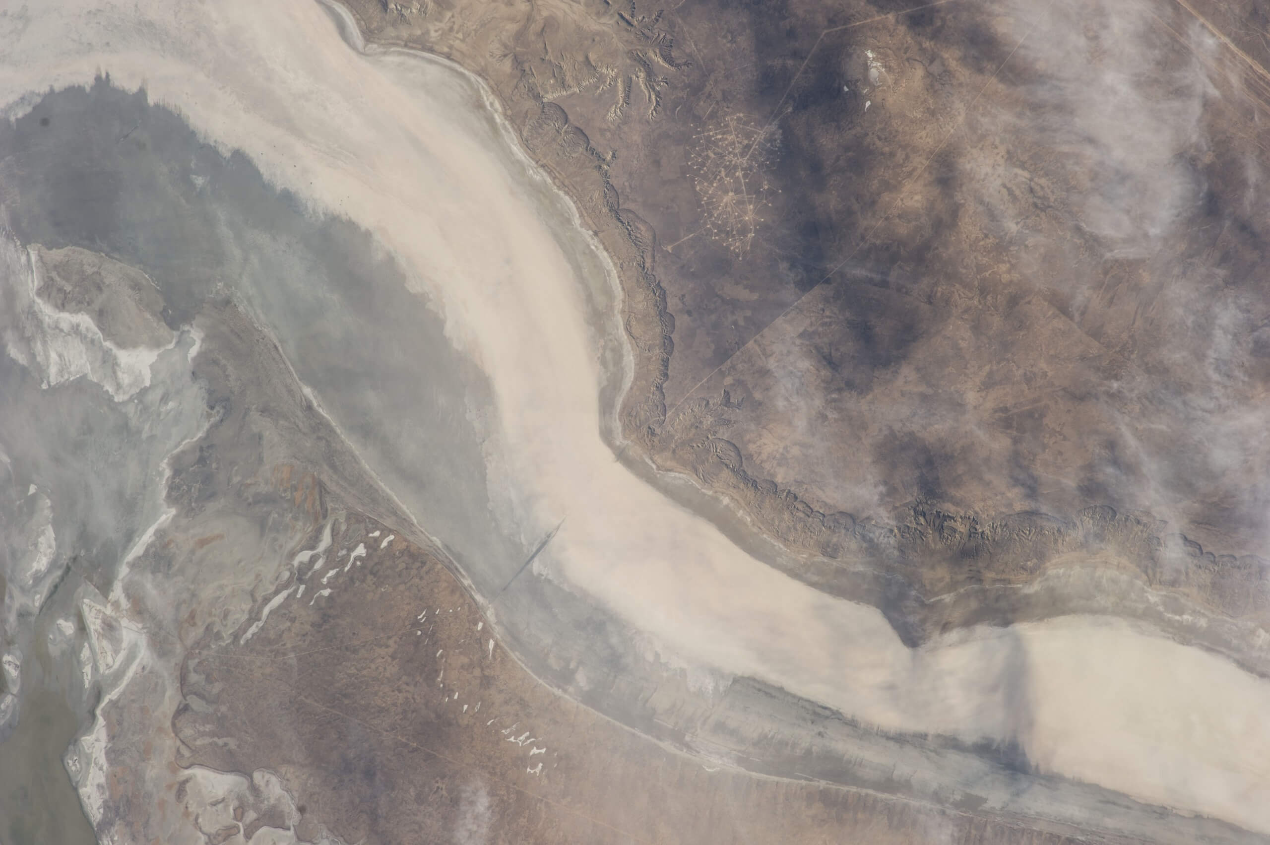
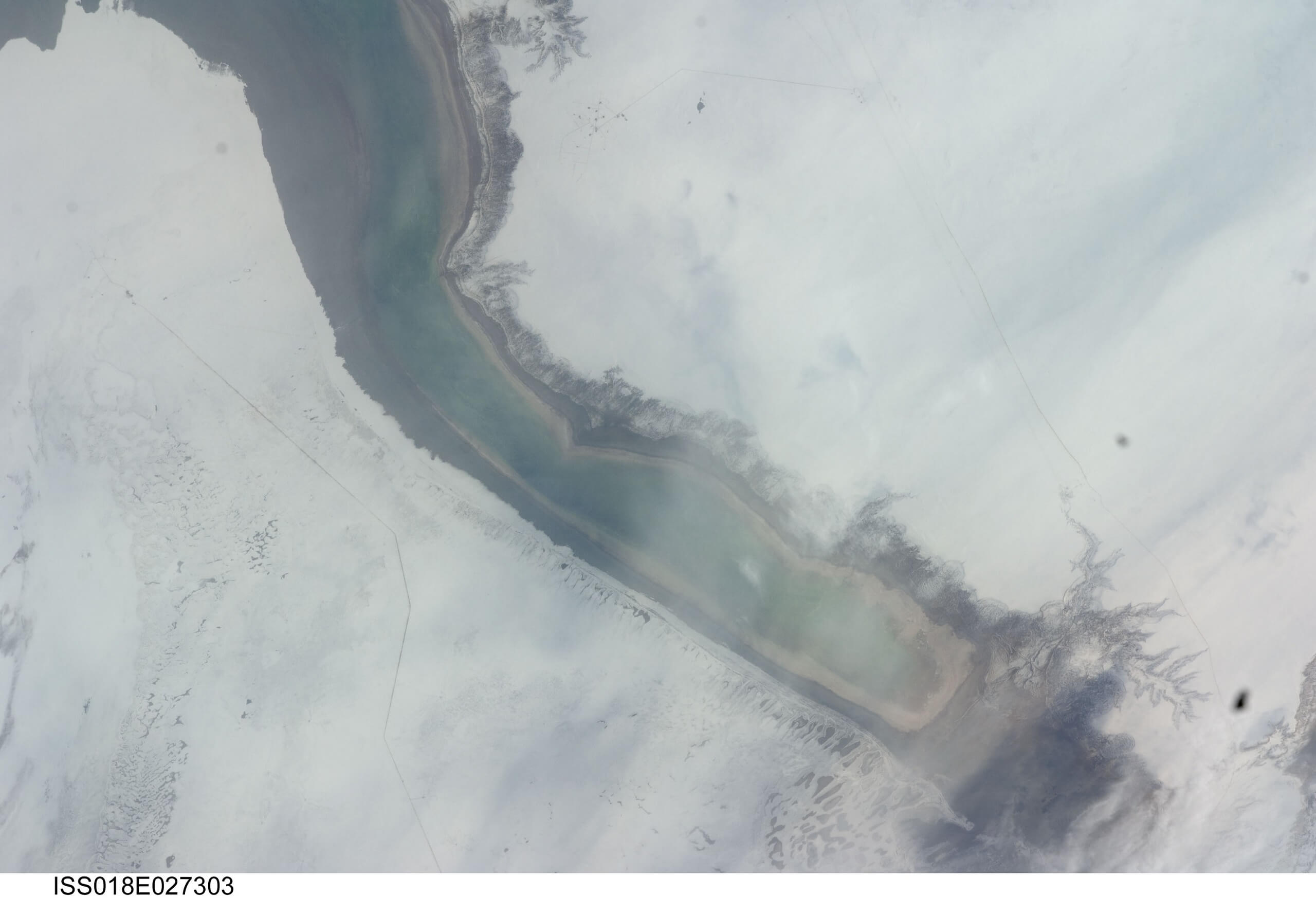
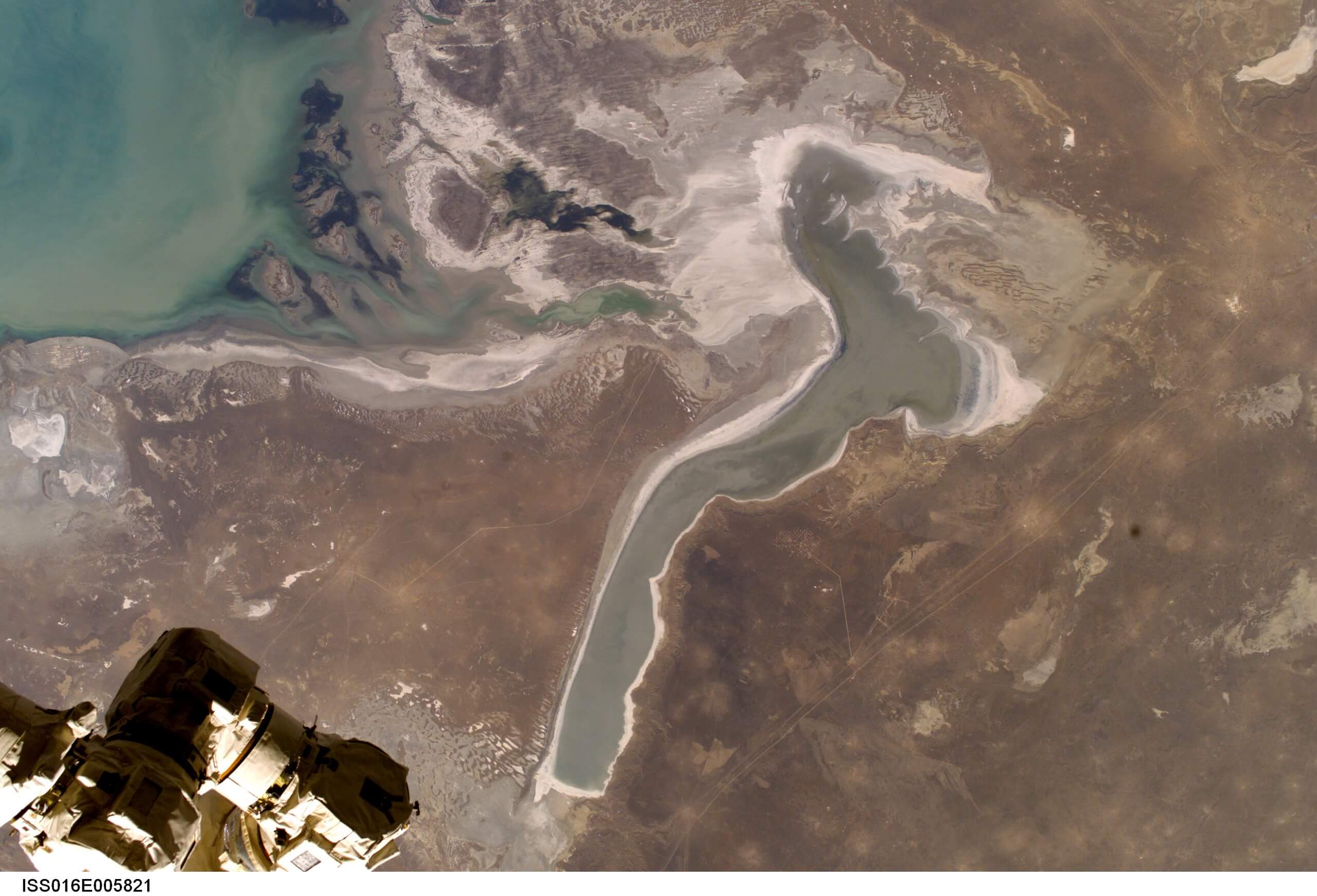
The brackish, egg-shaped Shalkar Lake – 65km south of Oral – measures 15km x 18km and receives water from two rivers on the east side:

Boszhira is Central Asia’s rival to the USA’s Monument Valley National Park, with the bonus of no crowds. Packed into a 7km x 7km area
Perched on the western tip of the Tub-Karagan Peninsula is the city of Fort Shevchenko and its satellite port town of Bautino. It’s the Mangystau