Ayrakty-Shomanai
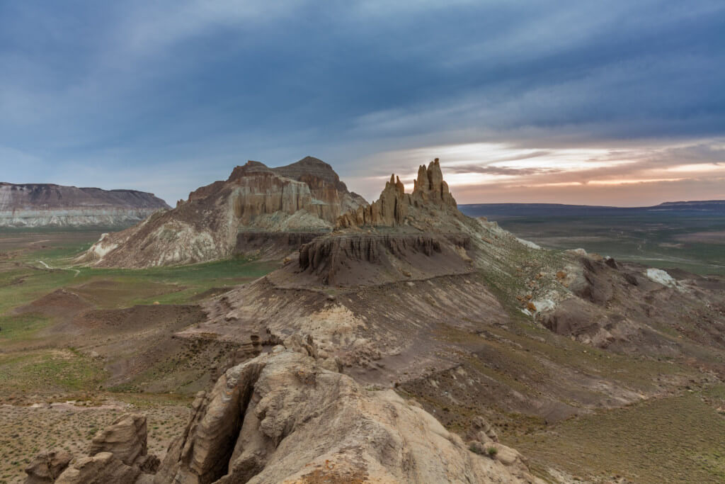
Ten kilometres north-west of Shetpe town is Ayrakty-Shomanai, or as 19th-century Ukrainian artist-poet Taras Shevchenko preferred to call it: the Valley of Castles. The peaks are freestanding and sit in between the Karatau Range to the south and the North Aktau Ridge to the north. It’s only a matter of time until a sci-fi film director […]
Atyrau
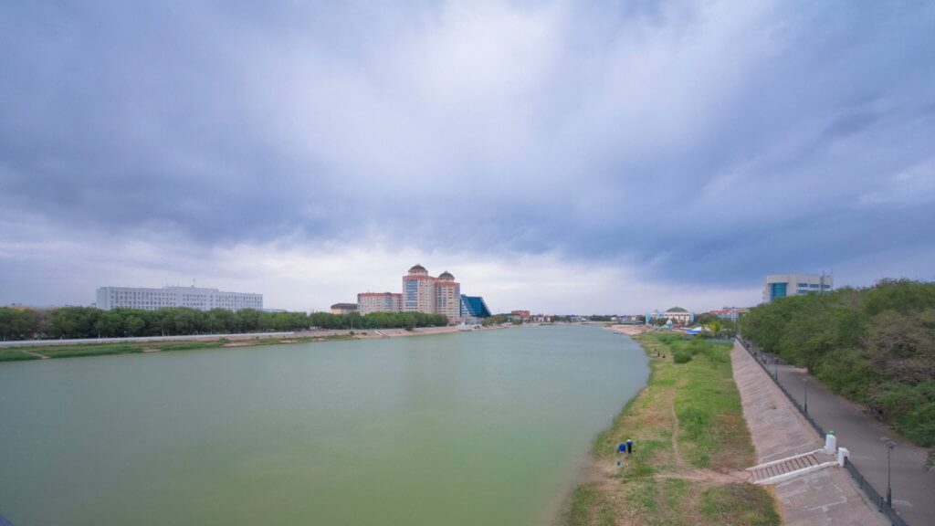
Table of Contents History of Atyrau Tsardom of Russia Era The origins of Atyrau began in the 1550s after Tsar Ivan the Terrible’s soldiers overthrew the Astrakhan and Kazan Khanates. Soon after, they erected a wooden fortress called Ust Yaitsk to protect themselves against the Kazakh clans who sought retaliation. The fort was located on […]
Aktolagay Plateau
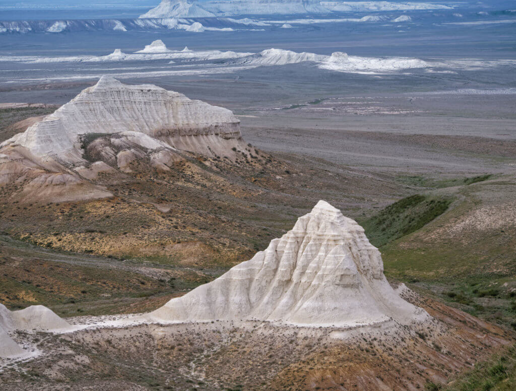
The Aktolagay Plateau is a cluster of freestanding chalk cliffs rising out of the eastern Precaspian Basin on the Aktobe-Atyrau regional border. It’s 50 km long and roughly 5 to 10 km wide, although some report the range to be double this length, despite maps indicating otherwise. The southernmost end is 35 km from the […]
Aktau
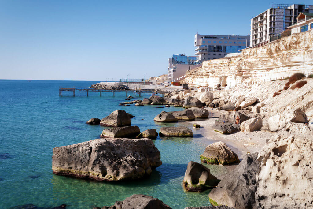
Aktau serves as a perfect starting point for journeys into the Ustyurt and the broader Mangystau Region. Its strategic location on the Caspian Sea, coupled with a rich array of cultural and historical landmarks both within and just outside city limits, makes it a place worth spending a day or two. Table of Contents History […]
New Alexander Fort
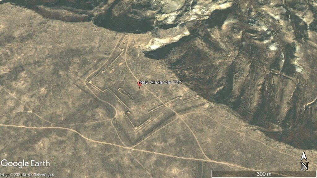
Overlooking Dead Kultuk Bay is New Alexander Fort. It’s located on the cliff edge of the Western Chink Ustyurt (Западный Чинк Устюрт) and was in use from 1834-1846. Russian General Vasily Perovsky, who oversaw two attempts to conquer Central Asia in the Khiva and Kokand campaigns, ordered the fort to be built. His reason for […]
Aktau-Buzachinskiy Nature Reserve
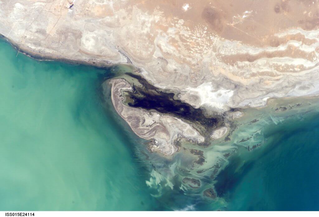
Established in 1982, the Aktau-Buzachinskiy Nature Reserve (Актау-Бузачинский Заповедник) covers an area larger than Greater London. Animals living in the area include the Ustyurt mouflon, Brandt’s hedgehog, Persian gazelle, foxes, caracal, steppe polecat, Pallas’ cat, whooper swans, occasional saiga herds, wolves, Caspian seals, and Dalmatian and eastern white pelicans. Map Data: Google, © 2021 Landsat […]
Kaydak Bay
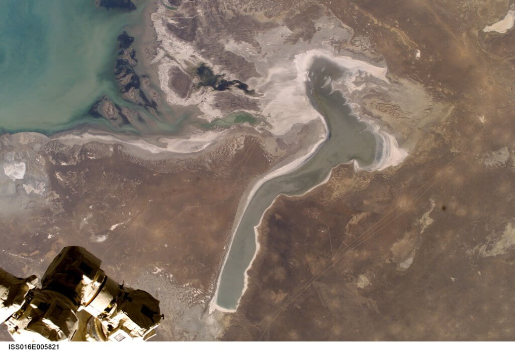
Kaydak Bay is a 15 km wide salt marsh extending for over 100 km along the Buzachi Peninsula’s east coast. A 1–2 metre high depositional bar separates the bay from the Caspian Sea, both of which lie 30 m below sea level. From time to time the sea breaches the bar and floods the bay […]
Dead Kultuk and Durnev Islands
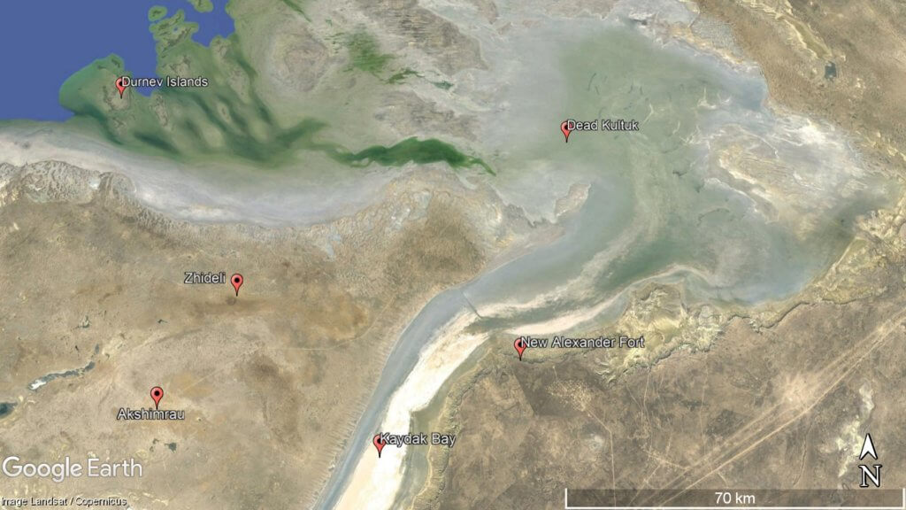
From the 17th to 20th century, Dead Kultuk has had a three different names: Blue Bay, Tsesarevich Bay and Komsomolets Bay. At the entrance of the 70 km-wide bay are the Durnev Islands. For unknown reasons many online reports make it sound like there’s only one island off of Buzachi’s northern coastline. However, if you […]
Otpan Tau
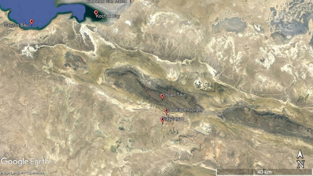
Otpan Tau (532 m) is the Mangyshlak Peninsula’s highest point. From the summit, you can see unrestricted views of Mangystau’s vast steppe, the Caspian Sea, and endless numbers of weather-worn ridgelines and rock features. It’s in the middle of the West Karatau Range and previously served as a watchtower and fire-signalling point to alert residents […]
Torysh Valley
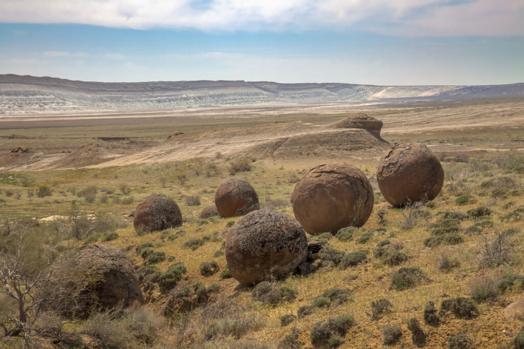
Eight kilometres east of the Aktau-Kalamkas road is the Valley of Balls. Locally known as Torysh, the valley lies on the north side of the Western Karatau Range and features hundreds of spherical sedimentary rocks up to 4 metres in diameter. © Mulderphoto Researchers believe they’re concretions –formed by mineral-rich water flowing through porous sedimentary […]

 BY PLANET ESOTERICA