Kamysh-Samara
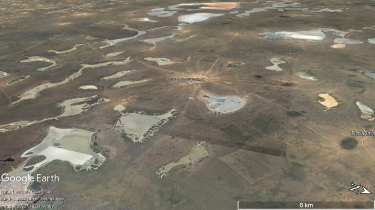
At the northern edge of the Ryn Desert is Kamysh-Samara. The 60km x 100km plain was once home to at least a dozen lakes, with

At the northern edge of the Ryn Desert is Kamysh-Samara. The 60km x 100km plain was once home to at least a dozen lakes, with
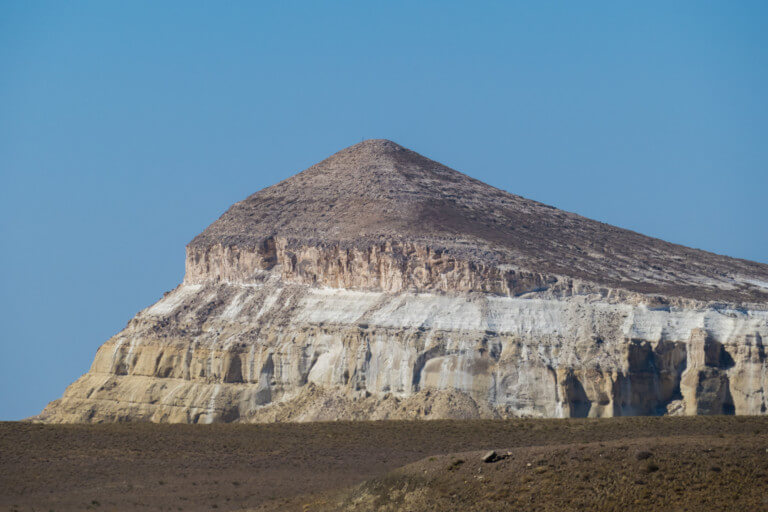
Sherkala (332m) is 5km west of Ayrakty-Shomanai on the northern side of the West Karatau Range. Its name is derived from the Persian words for

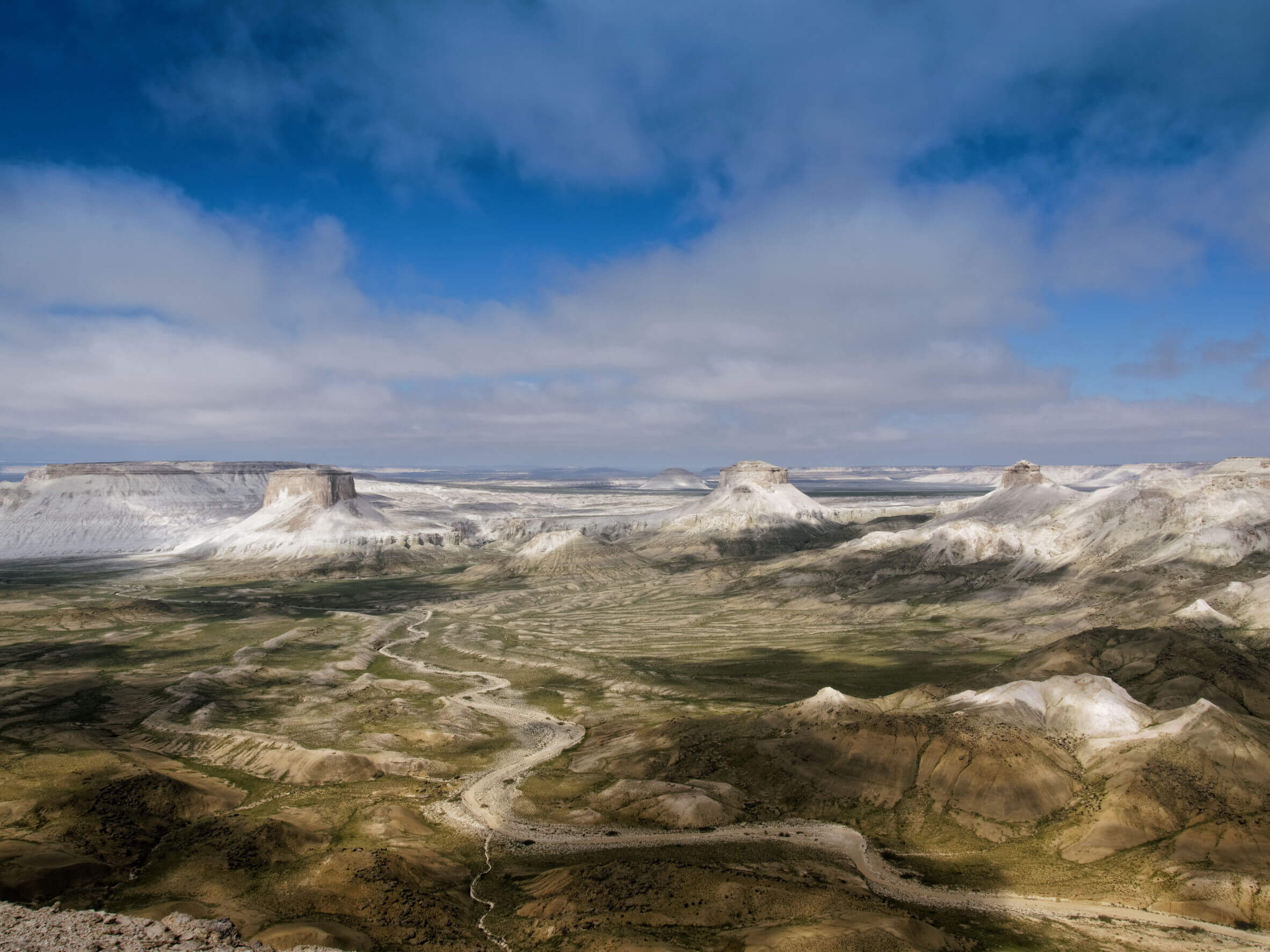
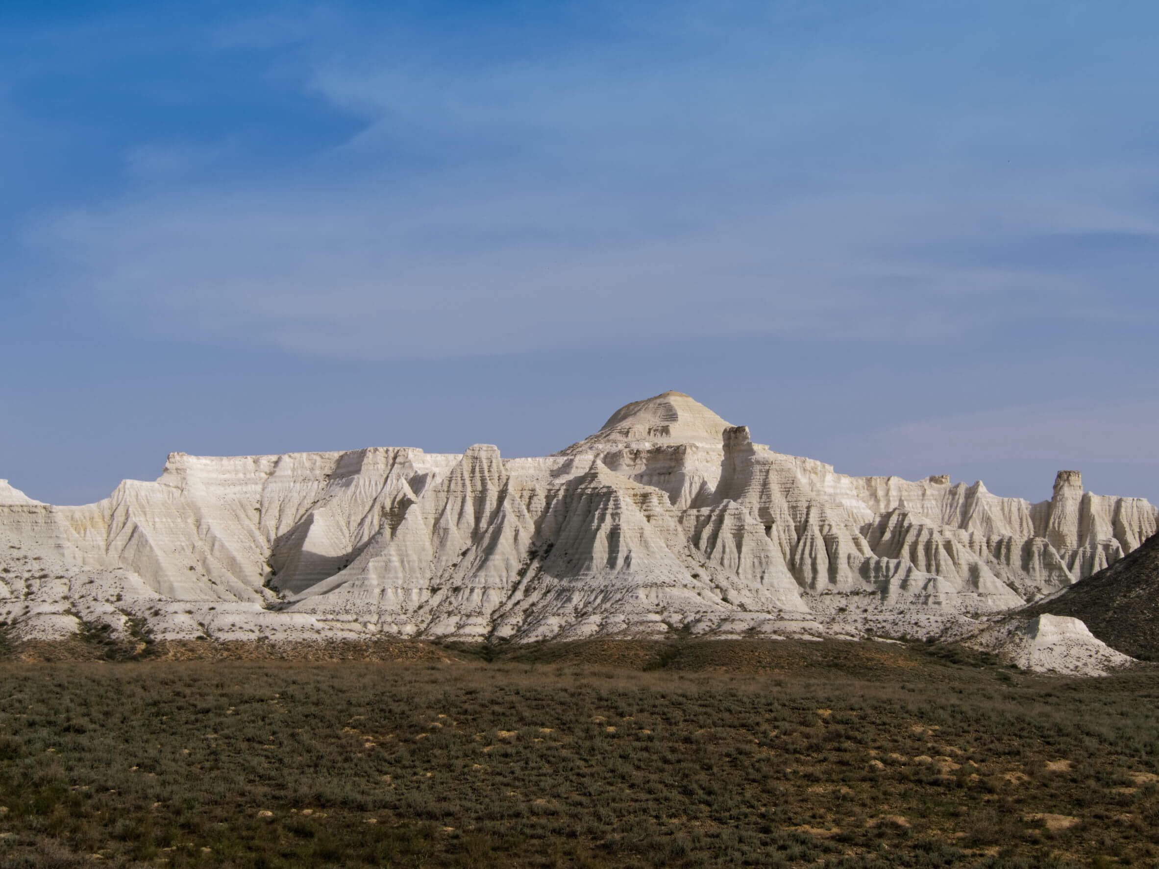
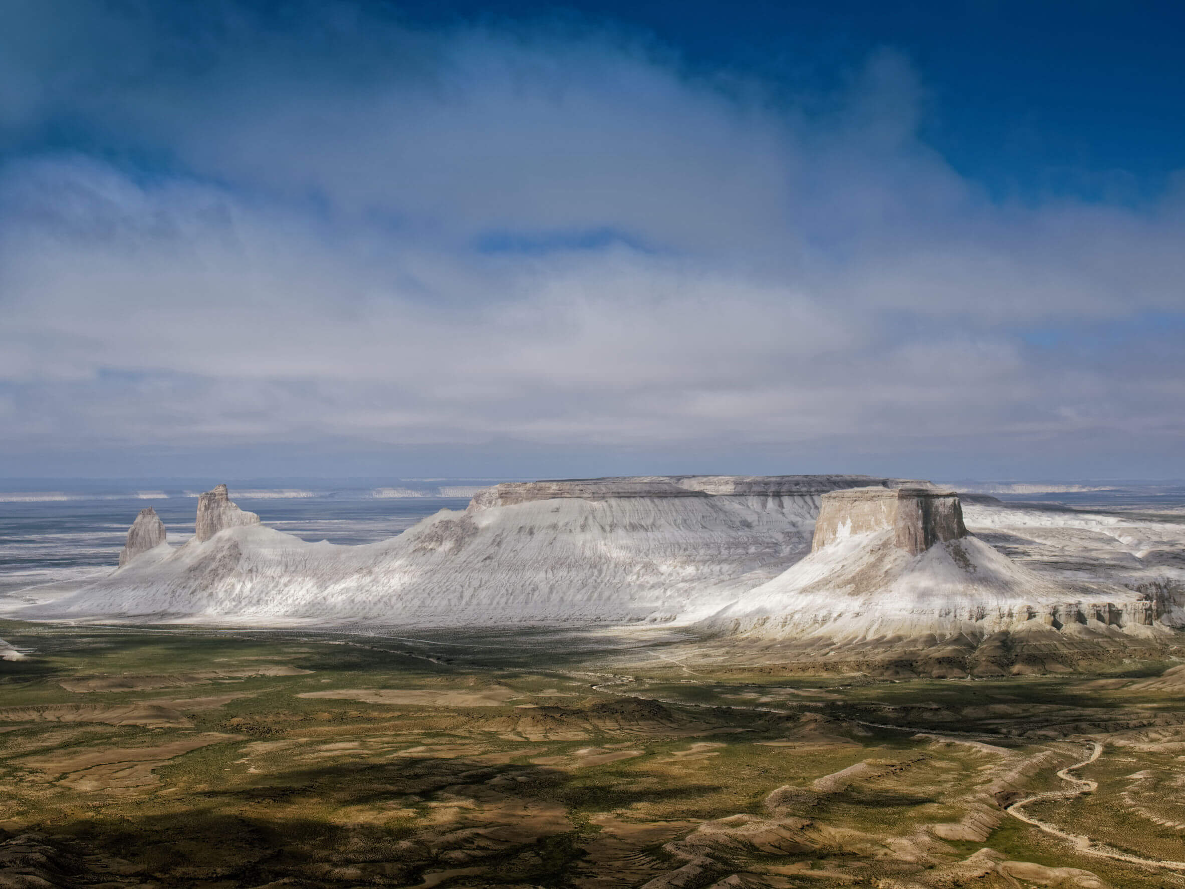
Boszhira is Central Asia’s rival to the USA’s Monument Valley National Park, with the bonus of no crowds. Packed into a 7km x 7km area