North of Golubaya Bay is a dirt road running along the edge of the plateau and coastline to Saura Canyon, which has an abandoned Soviet-era fishing village of the same name. Keep an eye out for the remains of old wheeled-cart tracks cut into the plateau’s soft limestone, which were created by centuries-old fishmongers travelling up and down the coastline between Aktau and Fort Shevchenko.

The canyon starts 2.5km inland, runs south-west towards the Caspian Sea and ends in front of the abandoned Soviet-era fishing village of Saura. Half a kilometre to the west is Karakul, an oasis-like lake in a smaller side canyon of the same name. It’s also home to a large population of marsh turtles, which are found nowhere else in south-west Kazakhstan.

Upstream of the lake is the Bronze Age Saurin fortress, however, its exact location remains elusive. According to Mangystau’s Department of Culture, which also has 360-degree videos of Saura Canyon, all that remains of the fortress is a 30-metre-long stone wall built across a tributary canyon. Excavations revealed several finds, such as flint objects, copper ore, the remains of an Iron Age skeleton, an iron knife, clay vessels, beads, and a red-coloured geometric figure painted on a rock slab.

Coordinates:

  • Saura Necropolis (Saura Qorymy/Некрополь Саура): 44.2303, 50.8078

  • Saura Abandoned Fishing Village: 44.2245, 50.8136

  • Karakul (Qaraköl/Озеро Каракуль): 44.2317, 50.8031

  • Saura Canyon (Saura Joly/Урочище Саура): 44.2292, 50.8213

Resources:

Planning a visit? Check out our debut guidebook

Other places included in our publication:

kapamsay-canyon-white-cliffs-with-camels

Kapamsay Canyon

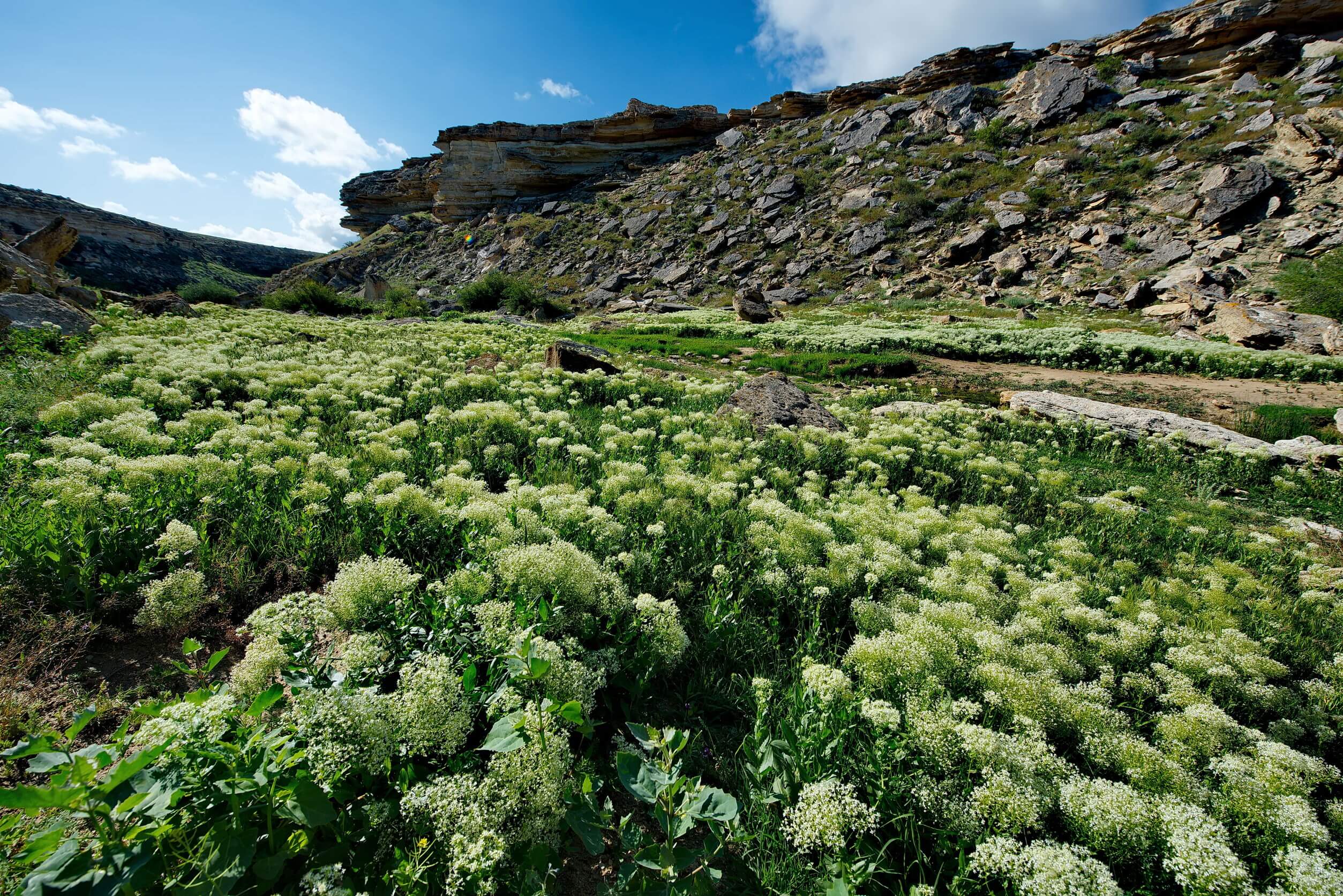
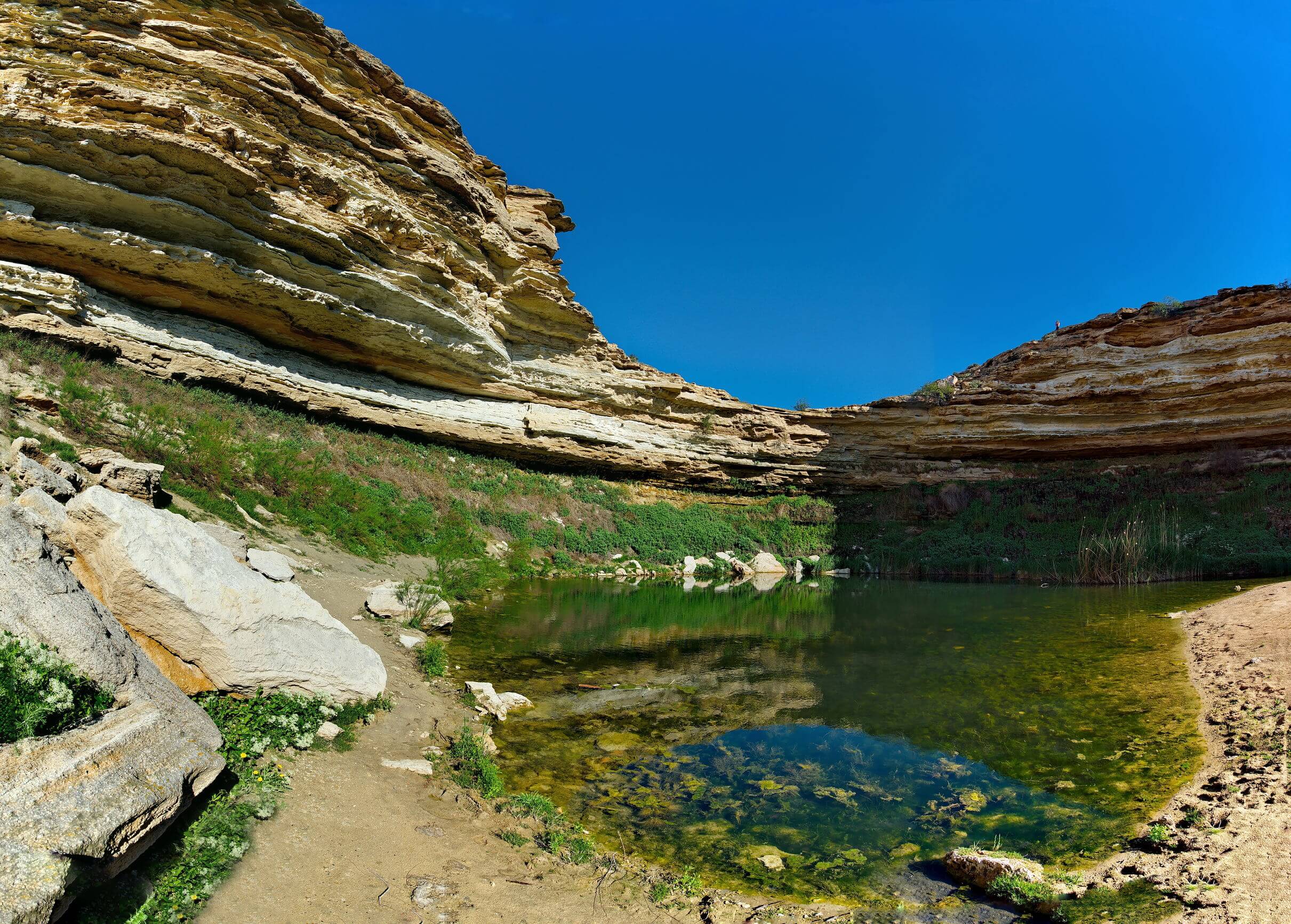
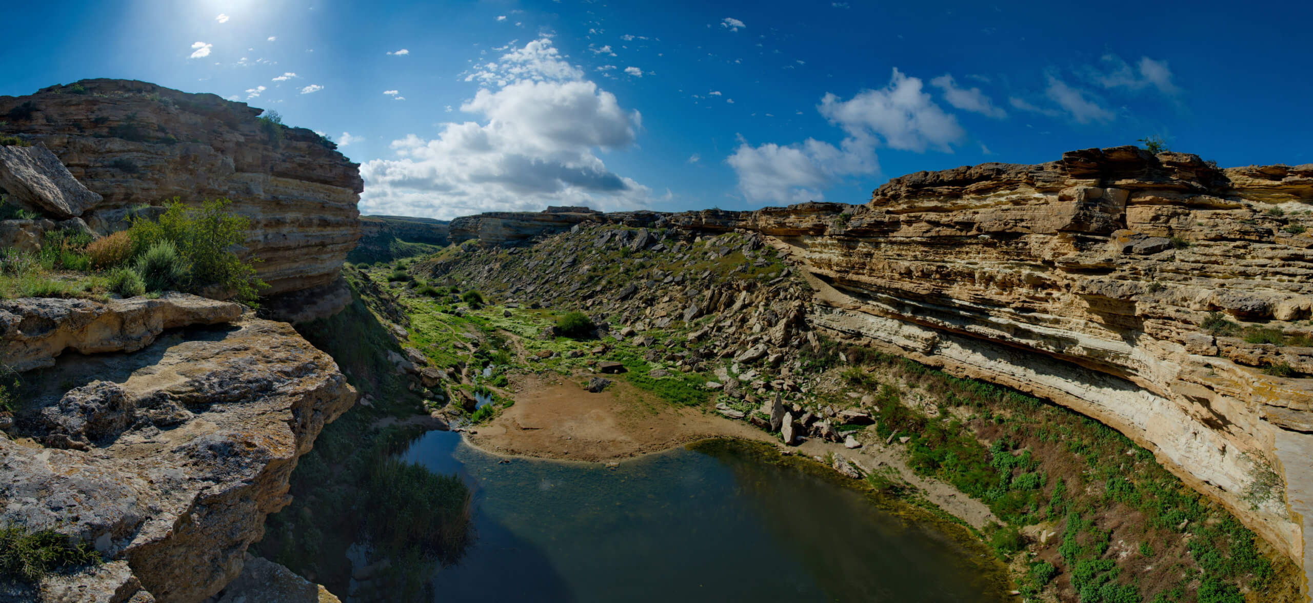
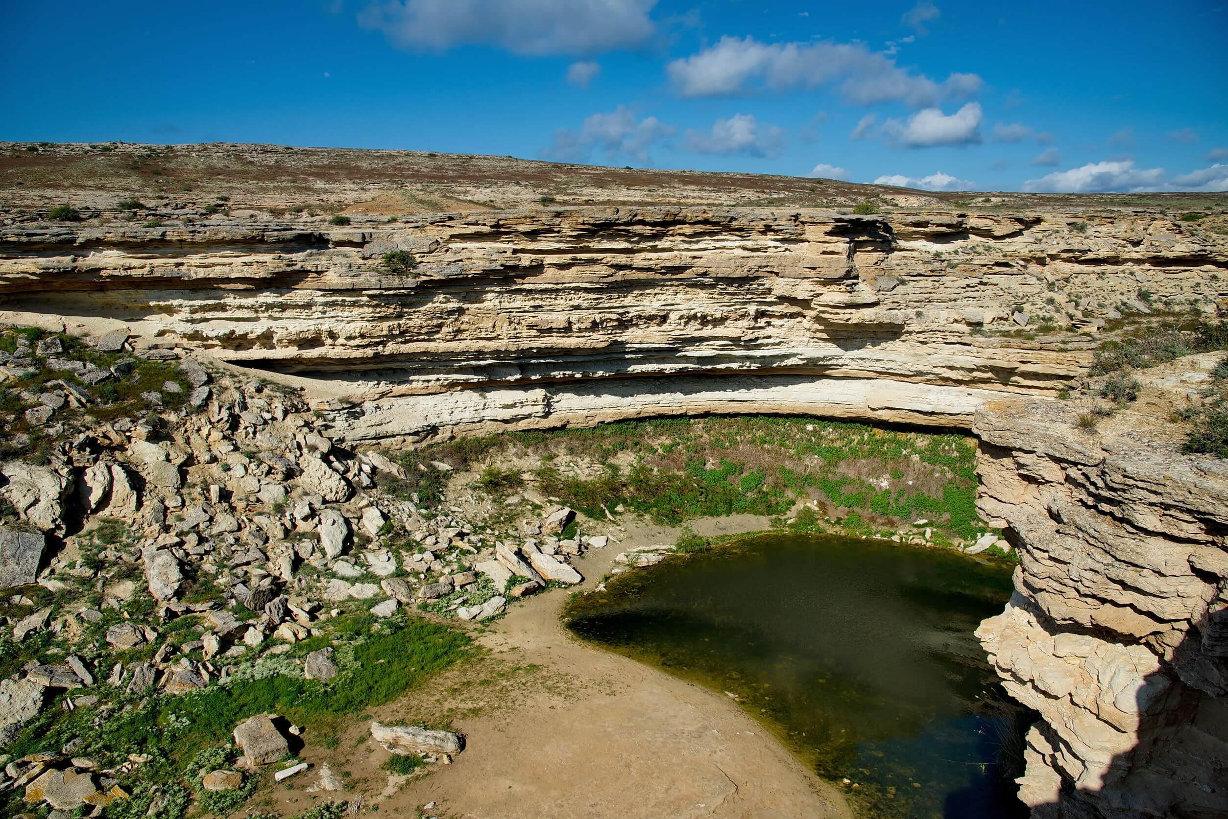
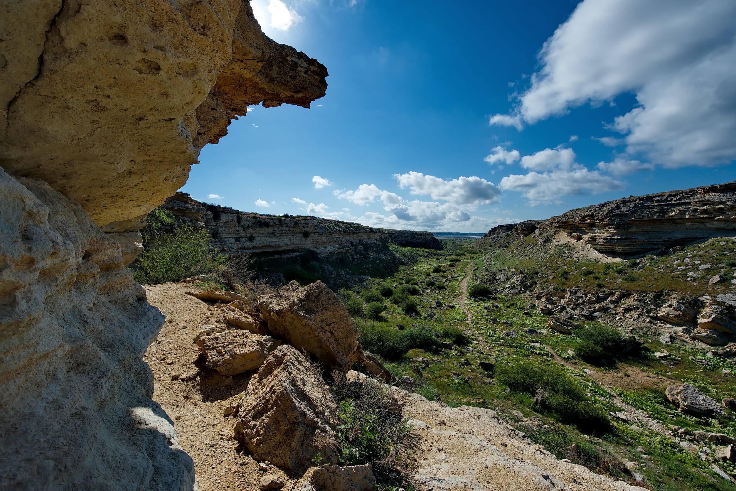
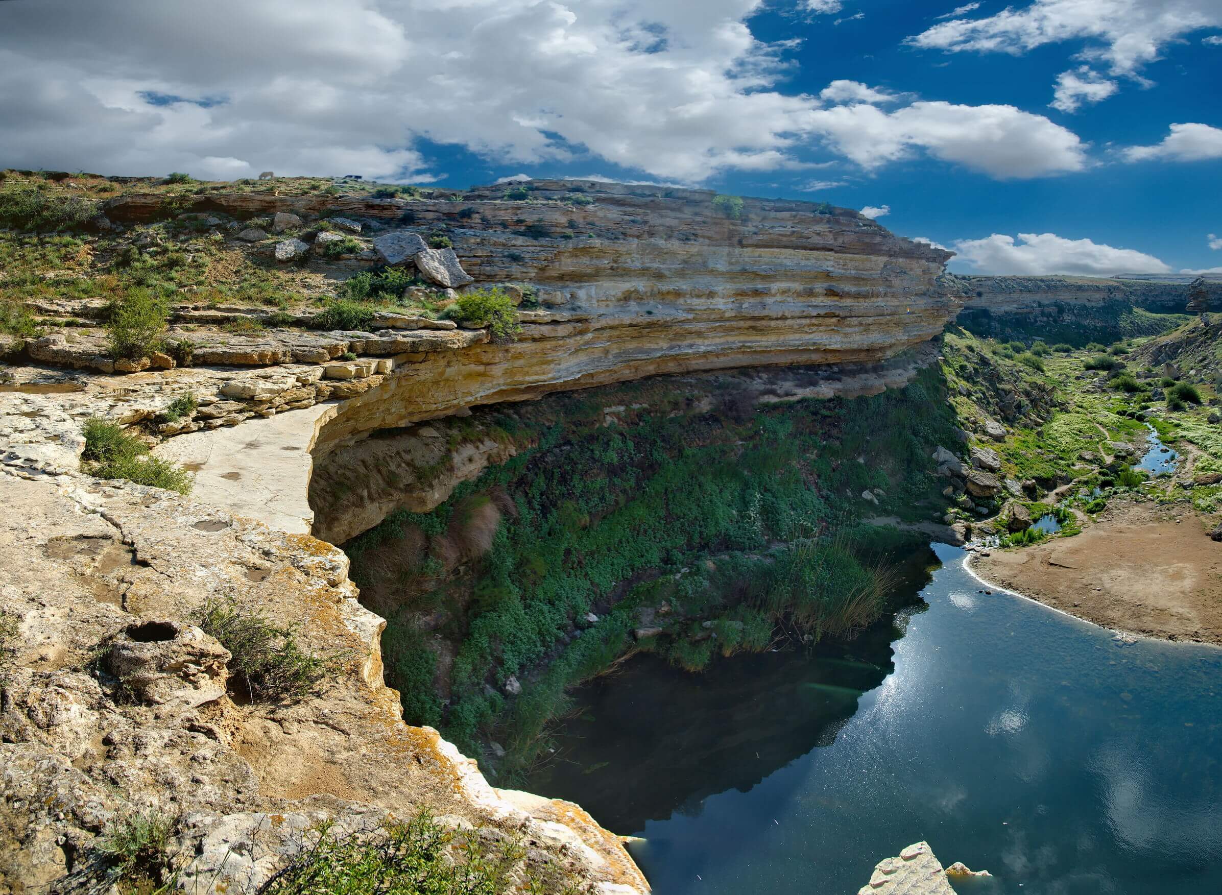
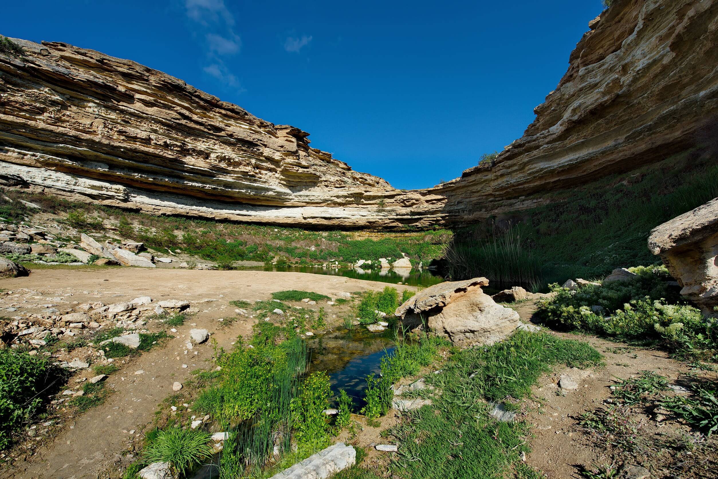
Kapamsay Canyon is a few kilometres south-west of Shakpak Ata. When approaching it from afar, you’ll see the white-sided walls of the chasm peeking up

Read More »
Satellite overview of a bright green-coloured Shalkar Lake.

Shalkar Lake

The brackish, egg-shaped Shalkar Lake – 65km south of Oral – measures 15km x 18km and receives water from two rivers on the east side:

Read More »
Close-up view of Sherkala's white, pink and brown cliffs.

Sherkala

Sherkala (332m) is 5km west of Ayrakty-Shomanai on the northern side of the West Karatau Range. Its name is derived from the Persian words for

Read More »