Buzachi Peninsula Deserts
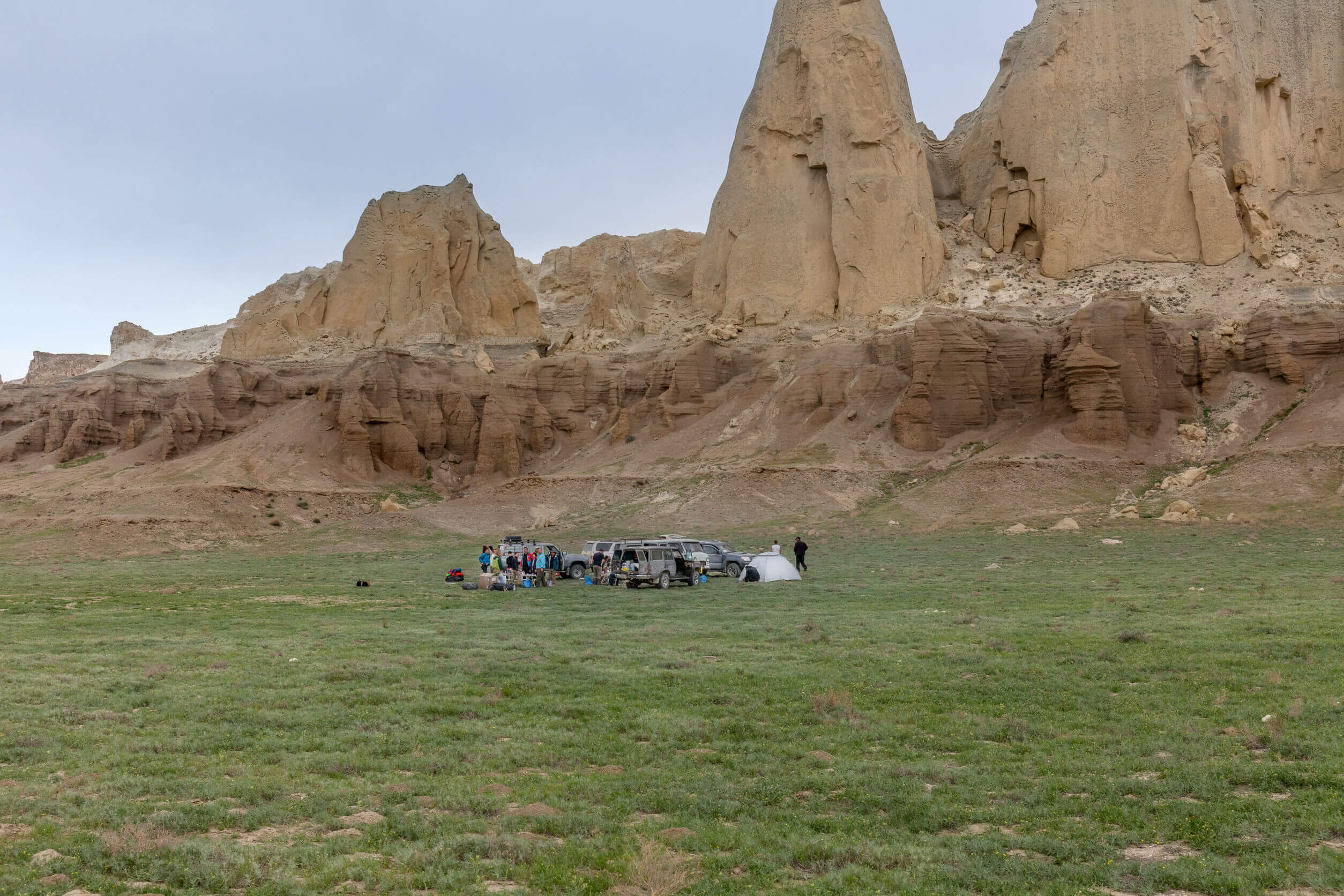
If you’re interested in obscure, remotely situated deserts, the Buzachi Peninsula has five small, sandy ones*: the Kyzylkum, Uvahkum, Shulshagylkum, Zhilimshik and Egizlak. The Kyzylkum

If you’re interested in obscure, remotely situated deserts, the Buzachi Peninsula has five small, sandy ones*: the Kyzylkum, Uvahkum, Shulshagylkum, Zhilimshik and Egizlak. The Kyzylkum
If you’re on the lookout for Central Asia travel guides, you’ve come to right place! Here’s our rundown of what’s on the market and the

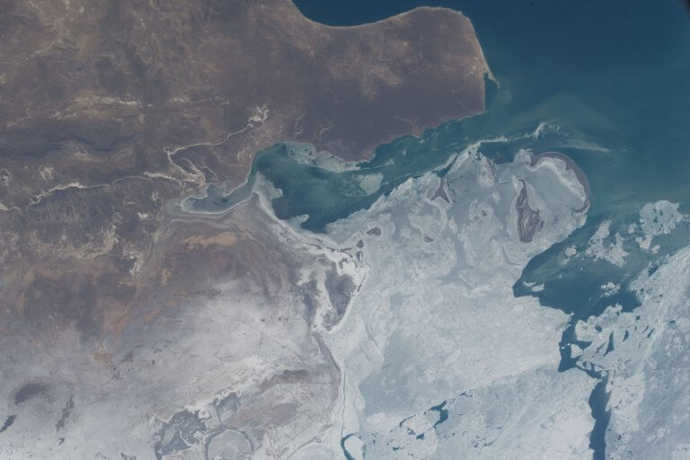
Ten kilometres off the north coast of the Tub-Karagan Peninsula is the Tyuleniy Archipelago. Tyulen means ‘seal’ in Russian. The archipelago comprises five named islands.