Sherkala
Sherkala (332m) is 5km west of Ayrakty-Shomanai on the northern side of the West Karatau Range. Its name is derived from the Persian words for
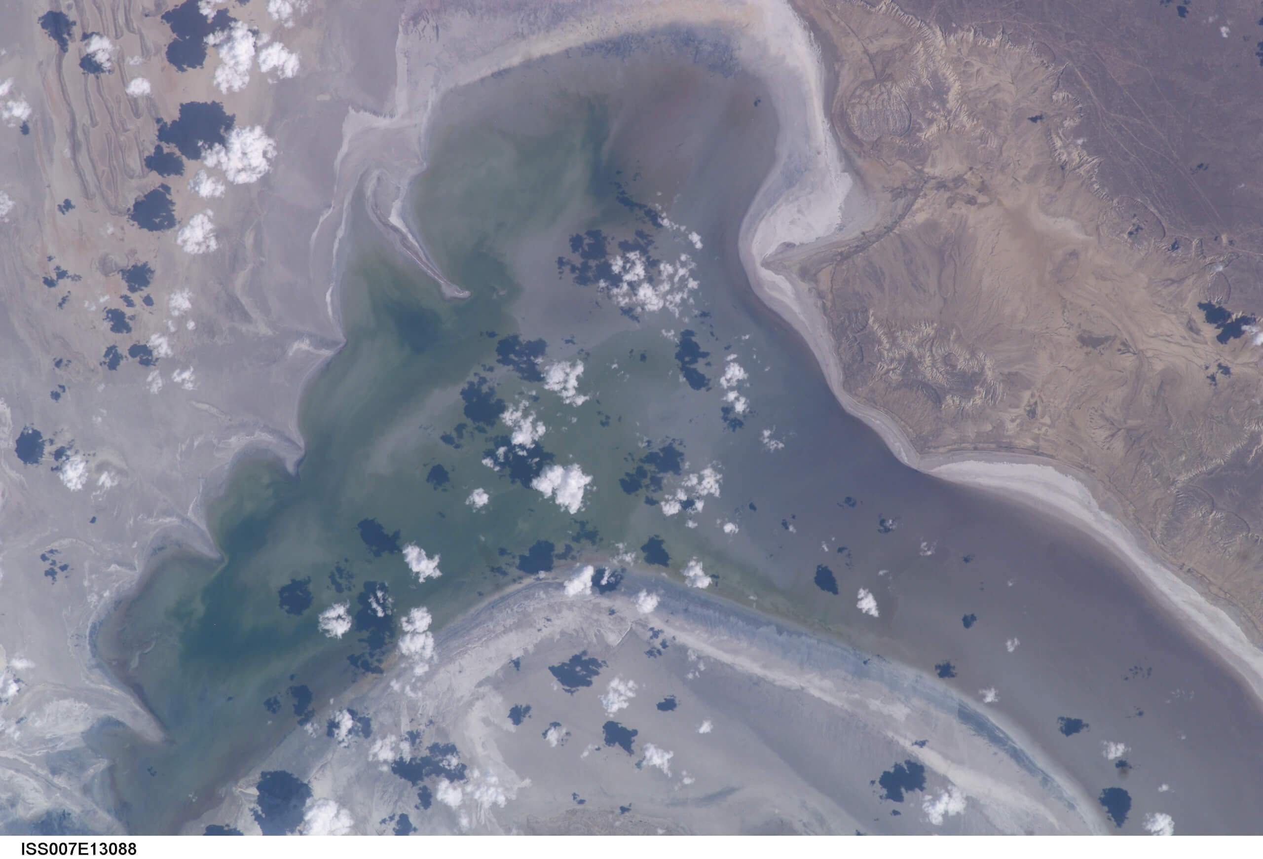
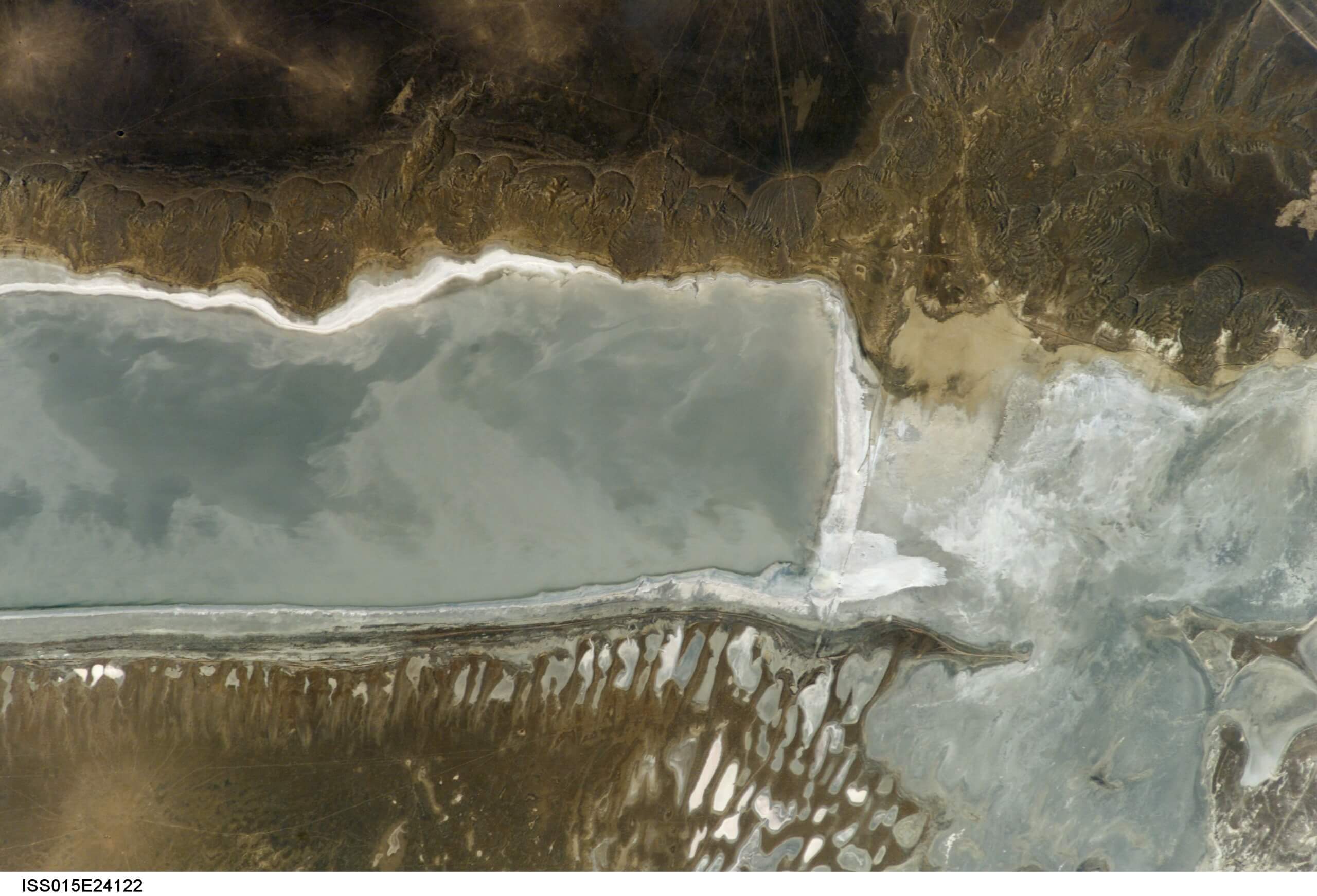
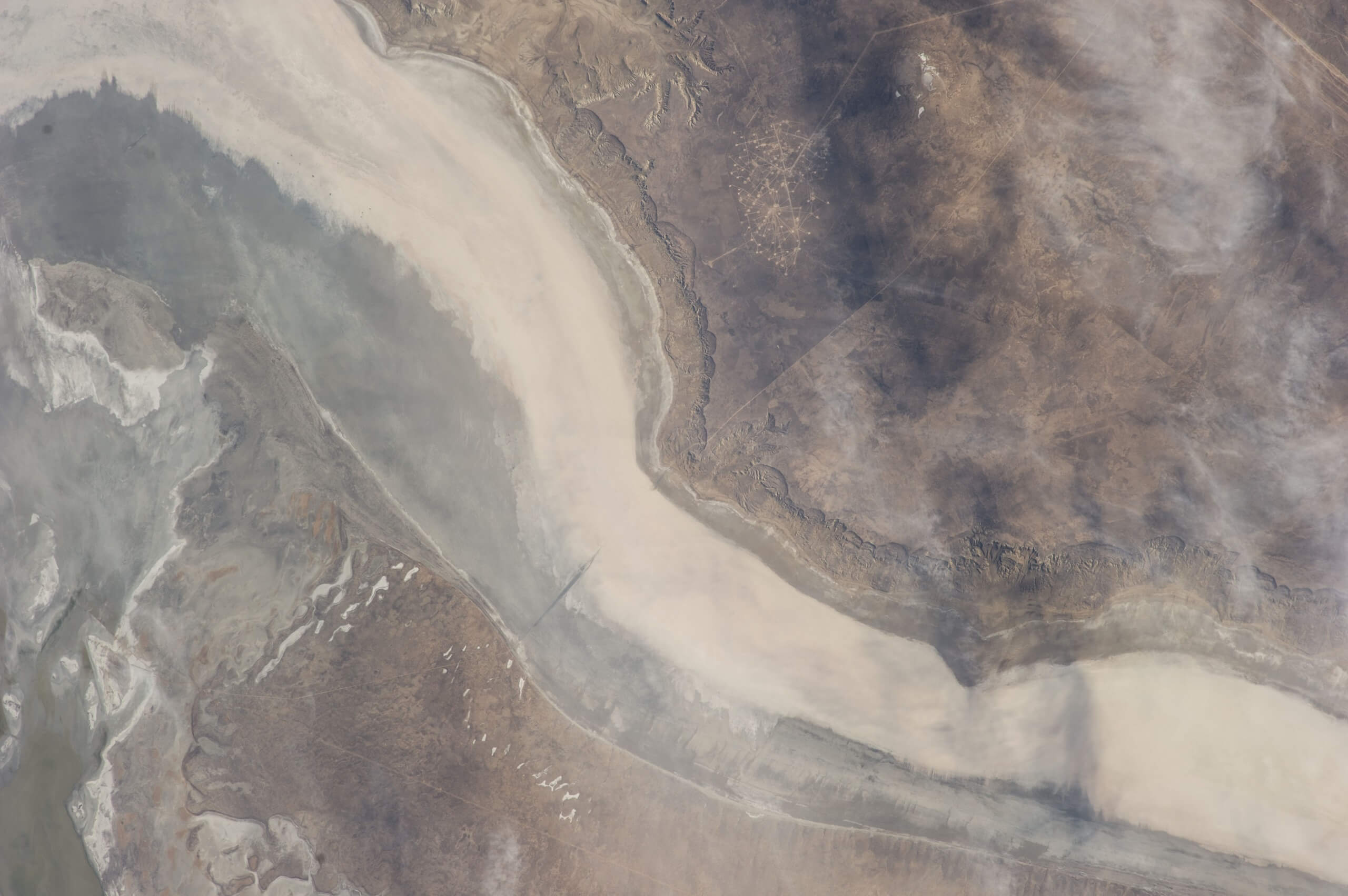
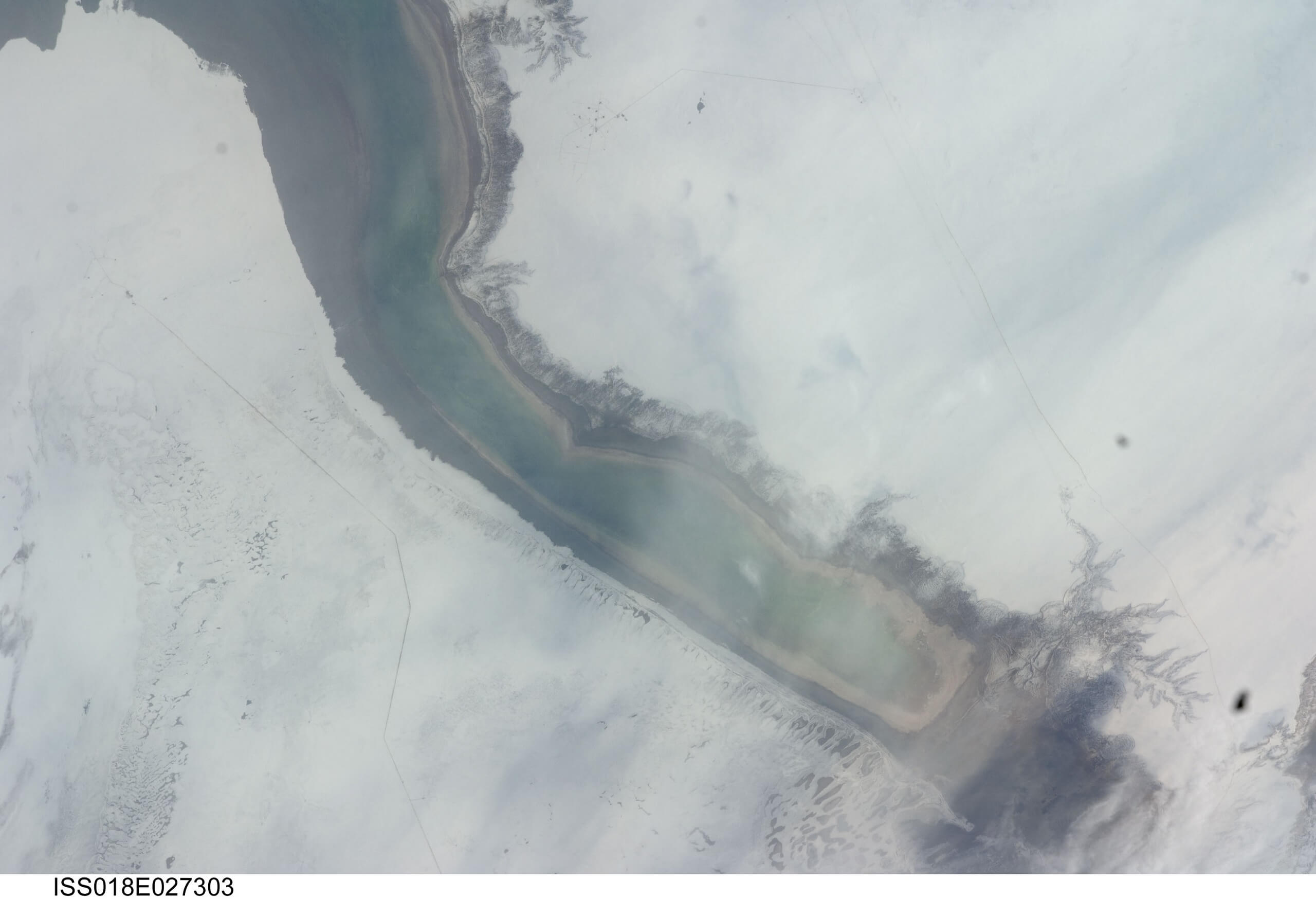
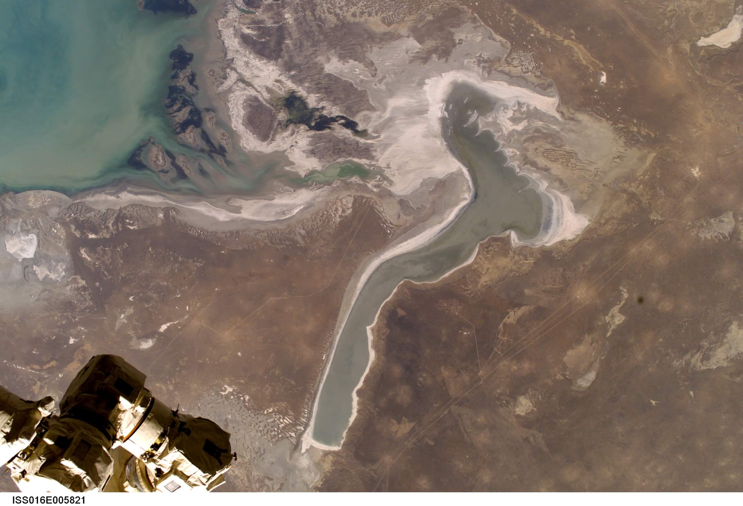
The Buzachi Peninsula’s far eastern edge overlooks the 15km x 100km Kaydak Bay salt marsh. A western branch of the bay’s shallow marshes extends more than halfway into the peninsula. Less than 200 years ago, when the Caspian Sea levels were a few metres higher, seawater covered these marshes, making the southern region of the Buzachi an isthmus linked to the Tub-Karagan Peninsula.
Depending on salinity, organisms, and water temperature, the marsh’s colours vary from grey and brown to pink and light green. Over the years, the retreating sea has led to coastal villages turning into ghost towns, like Prorva on the north side of Dead Kultuk.
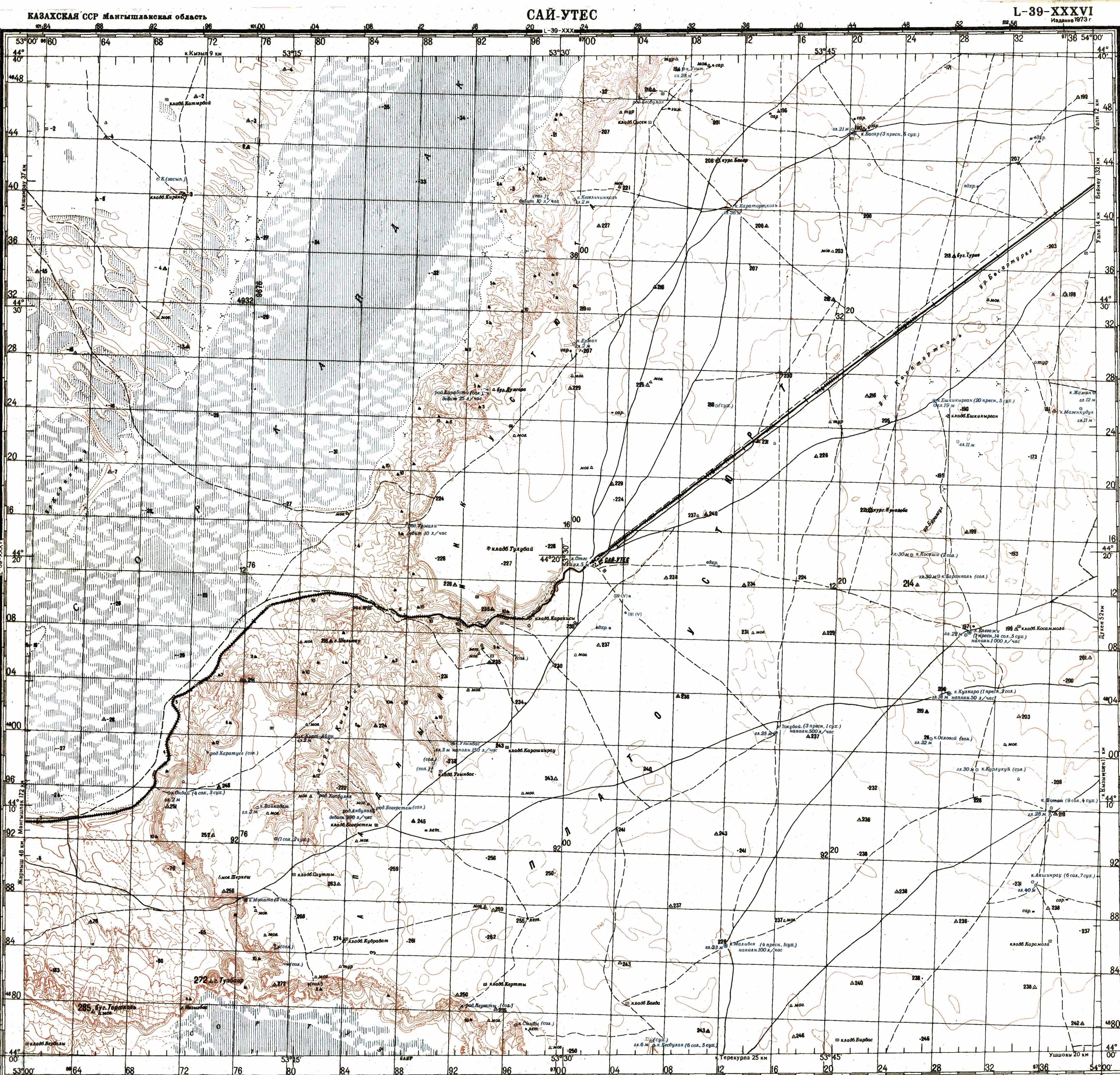
Running along the bay’s east side, from the Kyzylsay Ravine area to southern Beineu town, is the 200-kilometre-long Western Chink Ustyurt. Some sections of the cliff line rise more than 200m above Kaydak Bay, offering stunning views – New Alexander Fort is located here, too. By comparison, the west side rises only 10m above the bay and marks the beginning of the Buzachi Peninsula’s deserts.
Kaydak Bay (Qaidaq Şyğanağy/Залив Кайдак): 44.9124, 53.5524
Prorva (Прорва): 45.9893, 53.2657
Kyzylsay Ravine (Qyzylsai Saiy/Овраг Кызылсай): 44.1791, 53.2711
Beineu (Бейнеу): 45.3412, 55.1798

Sherkala (332m) is 5km west of Ayrakty-Shomanai on the northern side of the West Karatau Range. Its name is derived from the Persian words for

Twenty kilometres north of Senek village is Shopan Ata, a circa 10th-century underground mosque that is one of Mangystau’s oldest religious sites. It was first

Atyrau, a bustling city less than 15km from the Caspian Sea’s north coast, sits amid the stark beauty of the Caspian Lowland. Surrounded by sandy