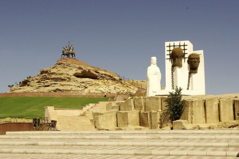
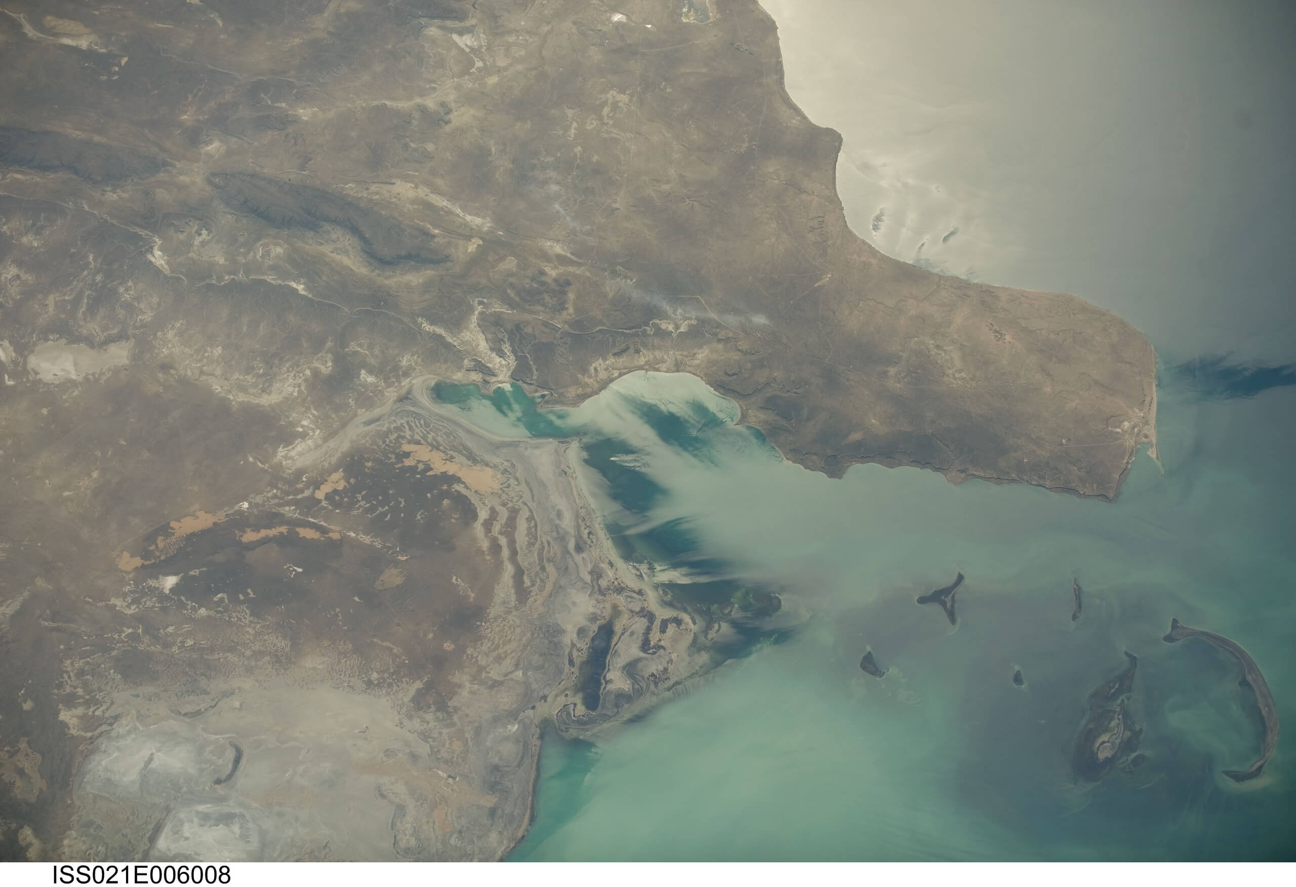
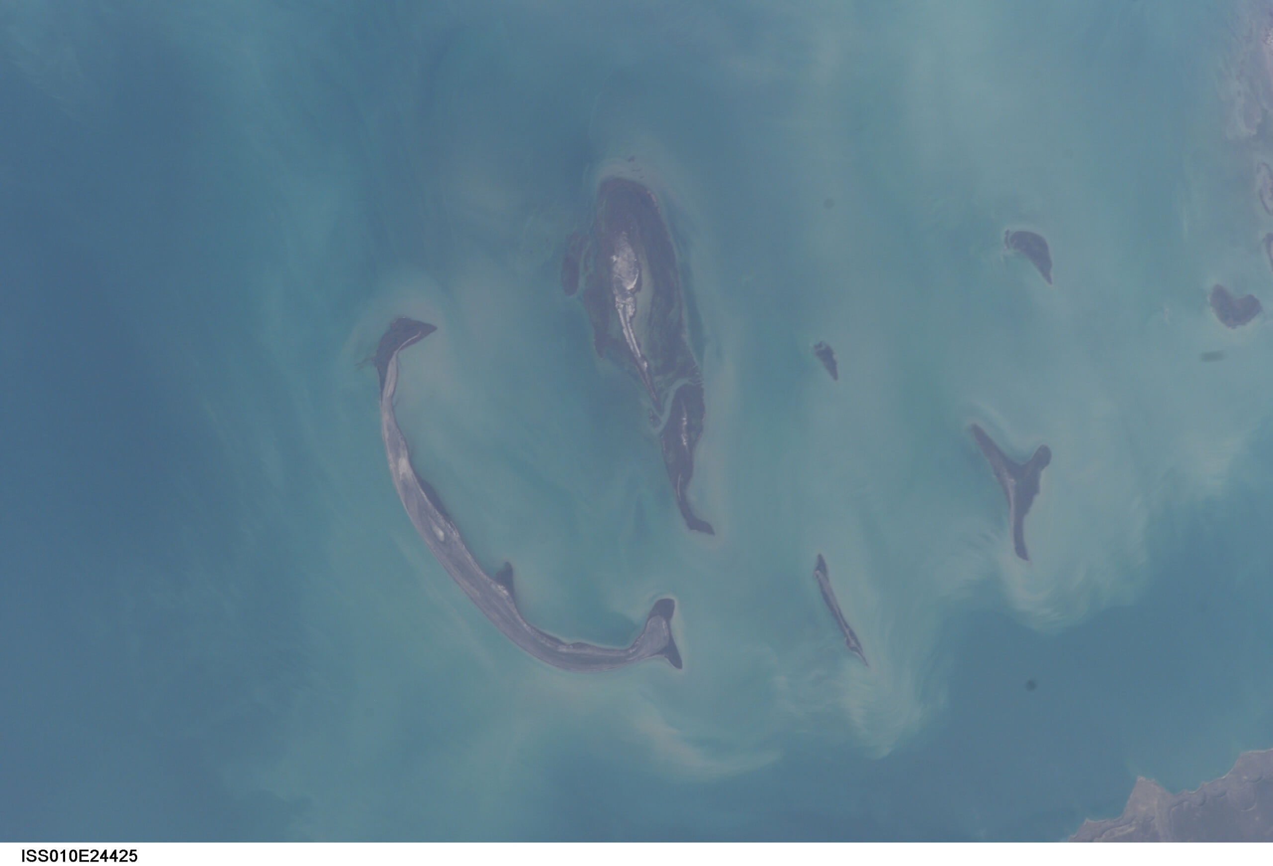
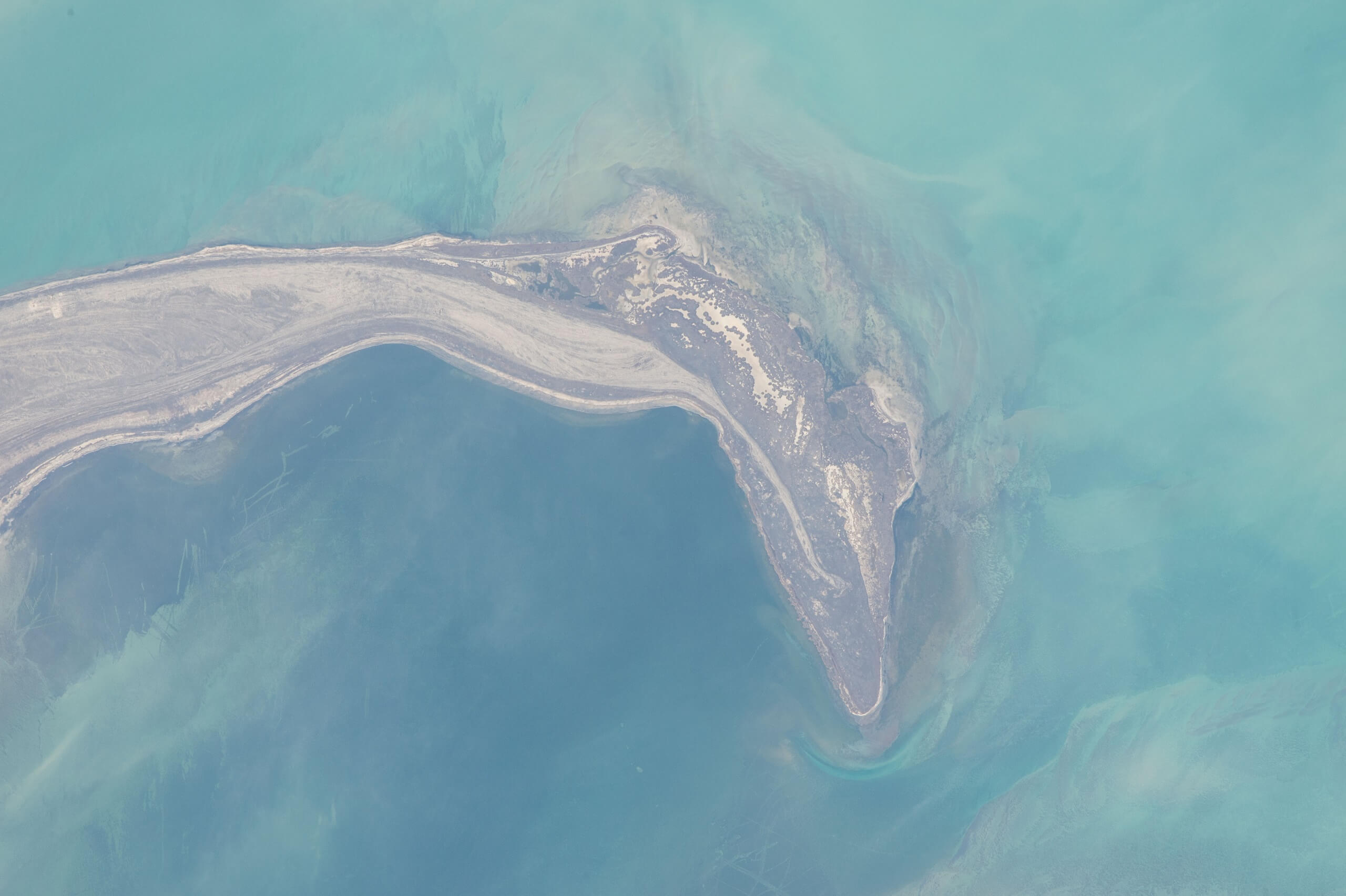
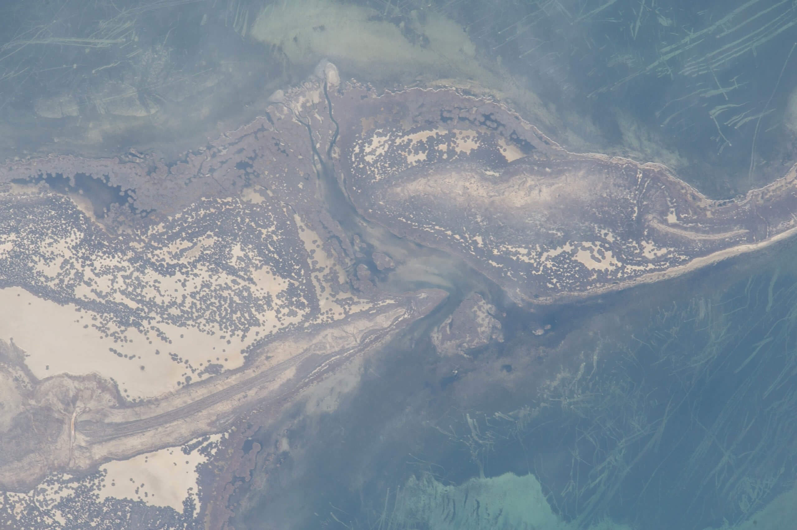
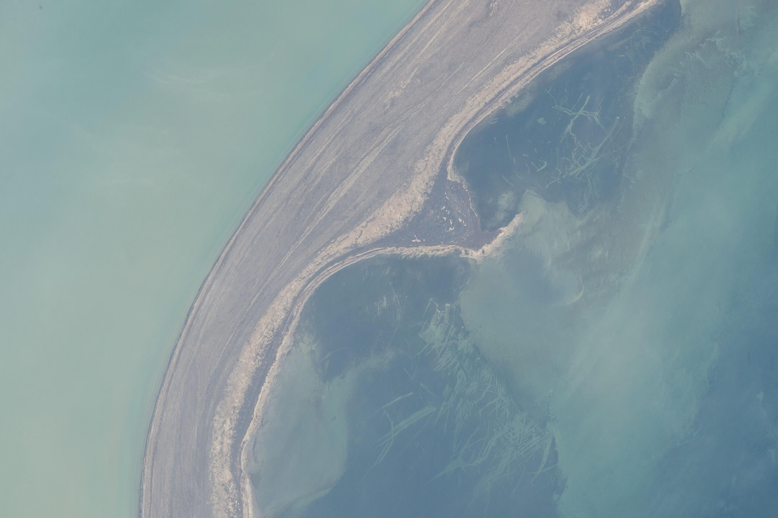
Tyuleniy Archipelago’s History
Scholars credit Dutch cartographer and architect Cornelis Kluytting’s Paskaert van de Caspise Zee (1665) as making the first step towards a realistic depiction of the Caspian Sea. Compared to earlier Dutch maps*, Kluytting’s featured more river mouths, islands and, crucially, an oblong-shape perimeter instead of circular or oval forms in earlier maps, reflecting a significant advancement in recognising the sea’s true, less-than-symmetrical coastline. Nicolaes Witsen used this map in his book about the Caspian region, Noord en Oost Tartarije, which provided a detailed description of the coastline, along with an updated version of his own 1687 map that is said to depict the archipelago for the first time. Prior to this, Johannes Struy’s 1676 map – the first to represent the sea as a kidney shape – showed only Kulaly (marked as “Kallolee”).
Comprehensive hydrographic and cartographic studies of the sea commenced during Peter the Great’s reign from 1682–1725. Motivated by the goal of establishing a navigable route from Russia to Central Asia and India, he focused on detailed surveys of this area. The first reasonably accurate maps of the Caspian Sea emerged from surveys in the 1710s undertaken by Bekovich-Cherkassky and a joint expedition between Fedor Ivanovich Soimonov and Dutchman Karel van Weerden. Allegedly, there was a separate operation by cartographer Alexander Kozhin and lieutenant-prince Vasily Urusov, too.
The most notable event in the archipelago’s history, although difficult to verify, took place in 1667 when 200 anti-tsarist rebels, siding with Cossack leader Stenka Razin, fled from Atyrau to the islands in fear of retribution. When news reached Russia’s noblemen, they sent 40 boats with 2,500+ archers – armed with cannons – to sail across the northern Caspian and attack the Cossacks on Kulaly. With a fort-town constructed out of sandbags, the rebels didn’t stand a chance against Russia’s firepower and the few that survived were swiftly executed.
* Abraham Ortelius, Persici sive Sophorum Regni Typus (1570); Jodocus Hondius, Tartaria (1606); Willem and Joan Blaeu, Tartaria sive Magni Chami Imperium (1634); and Joannes Janssonius, Persia sive Sophorum Regnum (1636).
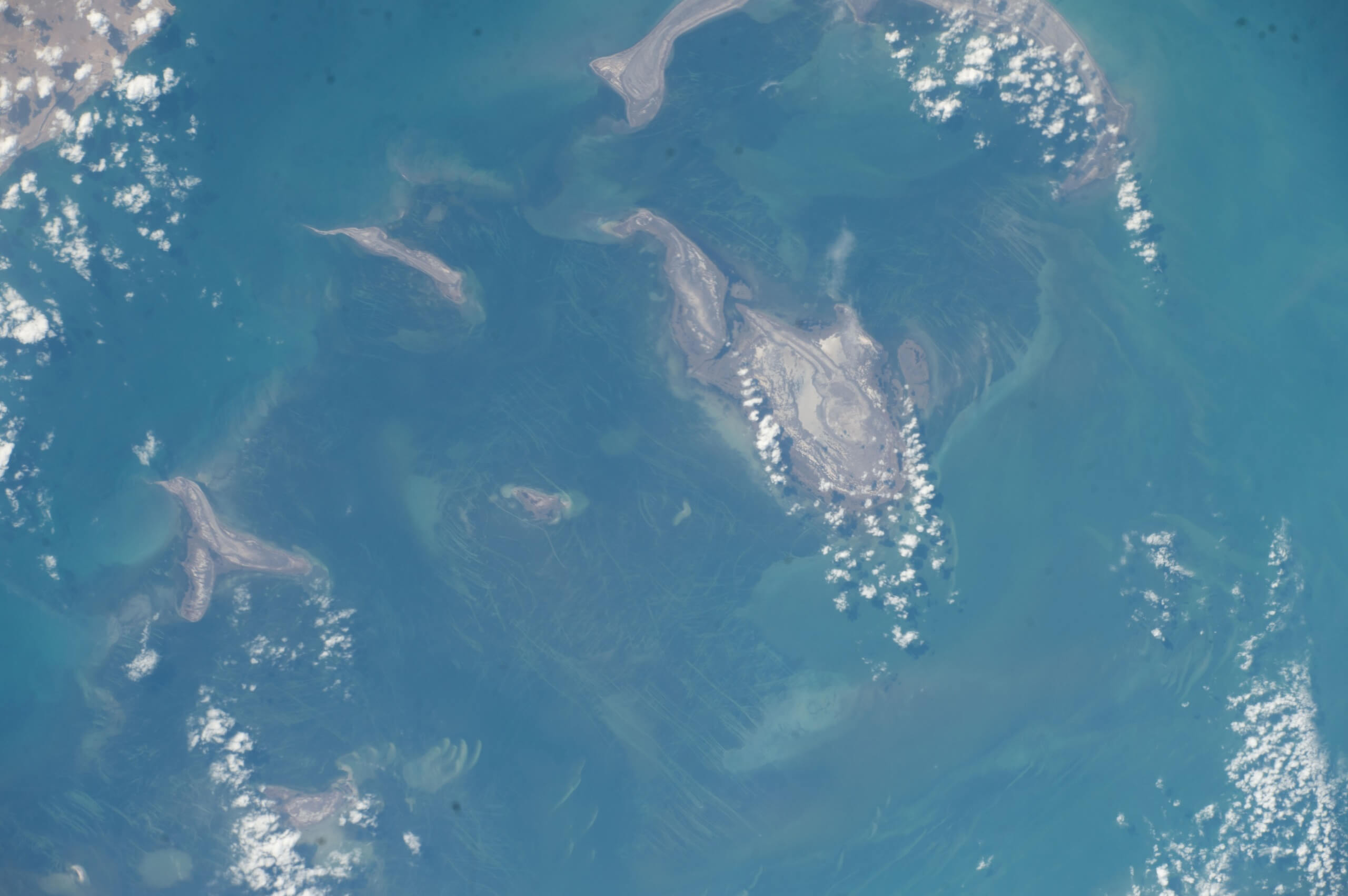
Caspian Seal Sanctuary
Until the early 20th century, the islands were a major breeding ground for Caspian seals. Kulaly’s northern part had barns and buildings used for seal fat storage, light processing of sealskins, and for housing seasonal seal hunters.
In the 19th century, up to 500 seal hunters would arrive on Kulaly for the season. Estonia-born Karl Maksimovich Baer*, a renowned scientist and explorer of the Caspian Sea in the 1850s, recounted meeting a slightly inebriated team of hunters from Astrakhan, who had brought vodka with them for the winter. The hunters generously offered eggs to Baer, and even chickens, indicating poultry farming on the island. He also noted watermelon cultivation, although they tended to be small. Two decades earlier, the islanders experimented with grain cultivation, resulting in successful oat crops but poor wheat yields. Baer observed a significant number of dogs on the island, too, used primarily for aiding in the retrieval of seals from the shore during winter.
It was dangerous work as groups of hunters would occasionally get caught out on the open sea as ice floes separated and drifted away from the land, or drown offshore in summer storms. These days, seals are a rare sight on the islands and researchers believe that creating artificial islands would encourage them to return
* Founding member of the Russian Geographical Society and also known as Karl Ernst von Baer.