
Shopan Ata
Twenty kilometres north of Senek village is Shopan Ata, a circa 10th-century underground mosque that is one of Mangystau’s oldest religious sites. It was first
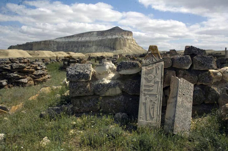
Twenty kilometres north of Senek village is Shopan Ata, a circa 10th-century underground mosque that is one of Mangystau’s oldest religious sites. It was first

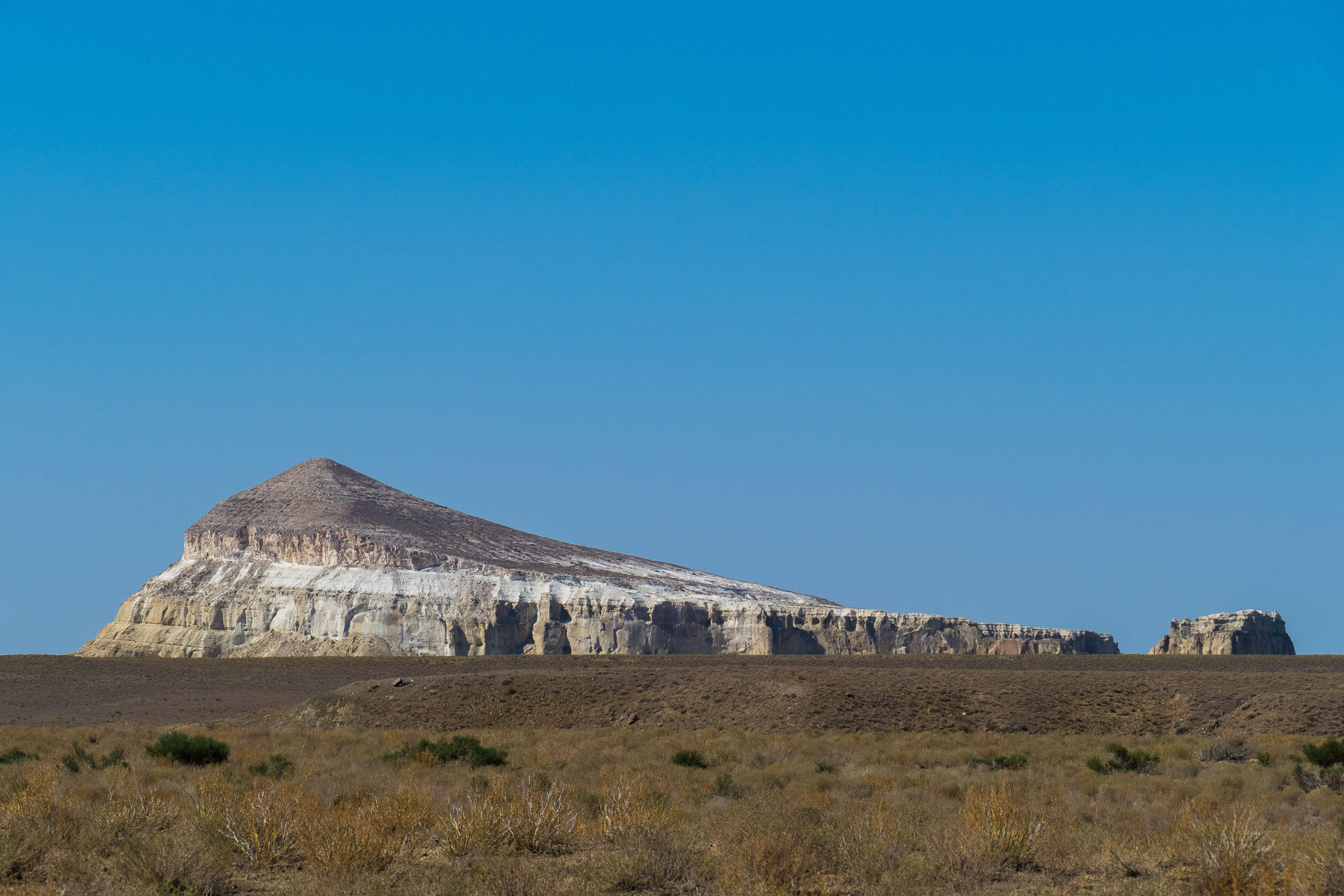
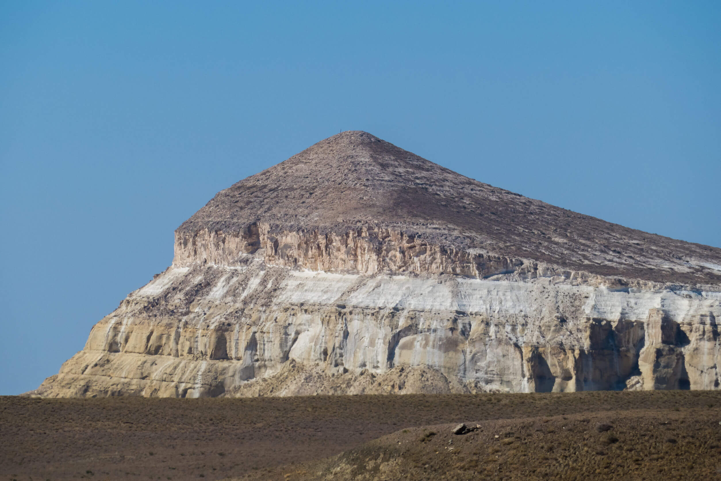
Aktau serves as a perfect starting point for journeys into the Ustyurt and the broader Mangystau Region. Its strategic location on the Caspian Sea, coupled

Atyrau, a bustling city less than 15km from the Caspian Sea’s north coast, sits amid the stark beauty of the Caspian Lowland. Surrounded by sandy