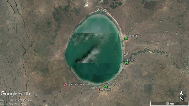
Kapamsay Canyon is a few kilometres south-west of Shakpak Ata. When approaching it from afar, you’ll see the white-sided walls of the chasm peeking up above the vegetated plateau. It’s 4km long, up to 70m deep, and the canyon floor is strewn with car-sized boulders offering plenty of shelter from the sun. There are similar-sized canyons either side of Kapamsay: Kokbulaksay, 7km to the west; and Shakpaktysay, 4.5km to the east, which is near Shakpak Ata.

In one corner of the canyon, there’s a mini oasis tucked away in a grotto and surrounded by a mulberry tree grove. Take care if you’re exploring harder-to-reach rock niches and caves, as eagles nest in the area. According to archaeologists, New Stone Age communities mined Kapamsay’s rock for manufacturing stone tools.

kapamsay-canyon-region-mangystau
Map Data: Google, © 2021 Landsat / Copernicus, CNES / Airbus

Coordinates:

  • Kapamsay Canyon (Qapamsai Kanony/Каньон Капамсай): 44.4093, 51.0785

  • Shakpaktysay Canyon (Şaqpaqtysai Kanony/Каньон Шакпактысай): 44.4069, 51.1384

  • Kokbulaksay Canyon (Kökbūlaqsai Kanony/Каньон Кокбулаксай): 44.4406, 51.0009

Resources:

Planning a visit? Check out our debut guidebook

Other places included in our publication:

Satellite overview of a bright green-coloured Shalkar Lake.

Shalkar Lake

The brackish, egg-shaped Shalkar Lake – 65km south of Oral – measures 15km x 18km and receives water from two rivers on the east side:

Read More »
Golden-coloured sand dunes with Senek village in the background and chalk cliffs further beyond.

Senek Sands

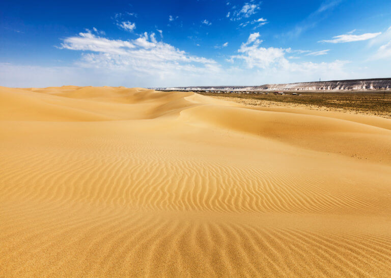
Senek Sands, also known as Tuyesu Sands, is an 11 x 30km area of dunes located halfway between Zhanaozen city and Boszhira. Barchan dunes cover

Read More »
Wide view of Sor Tuzbair from the plateau.

Sor Tuzbair

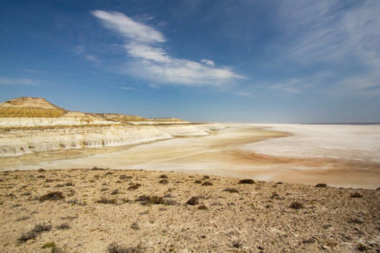
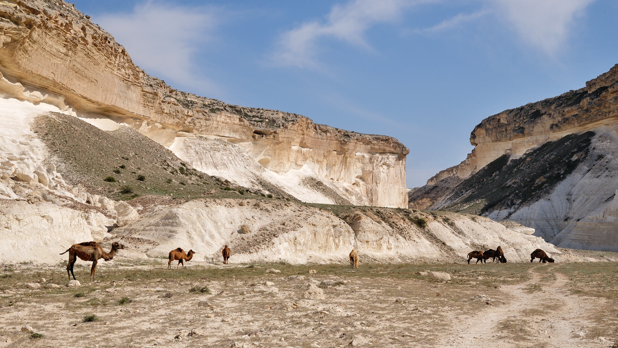
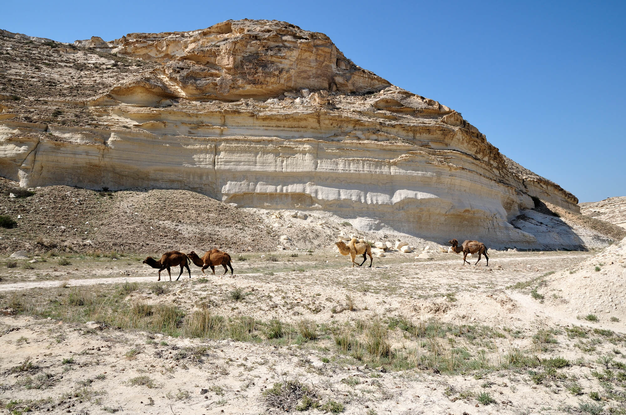
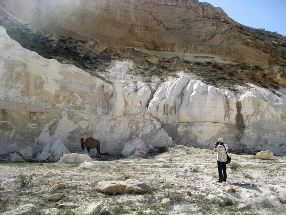
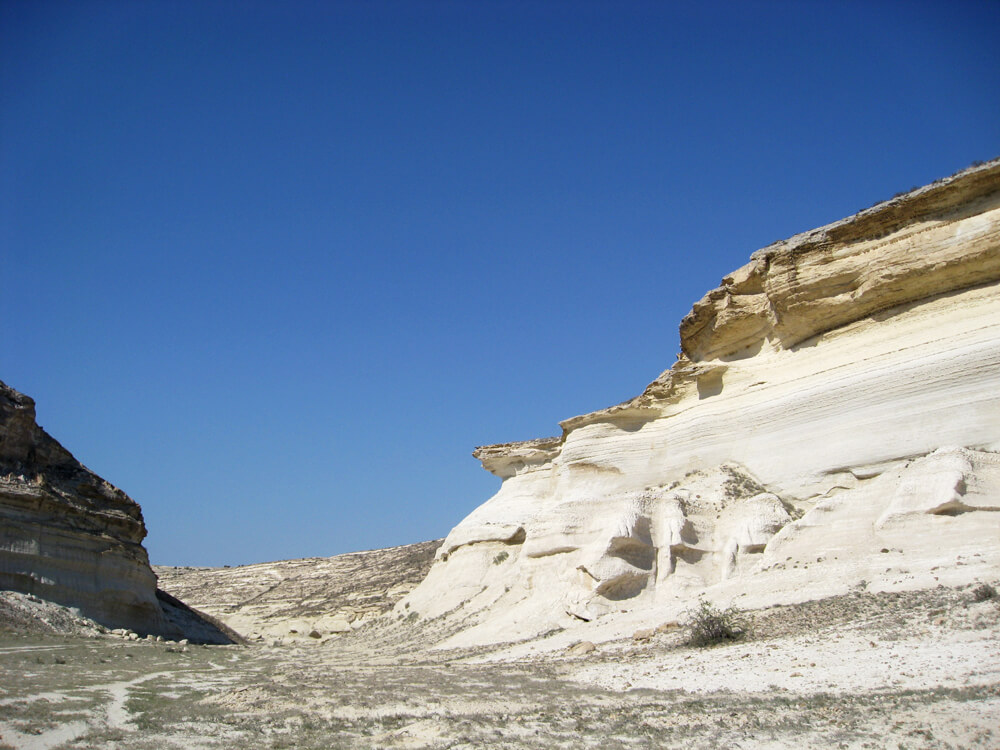
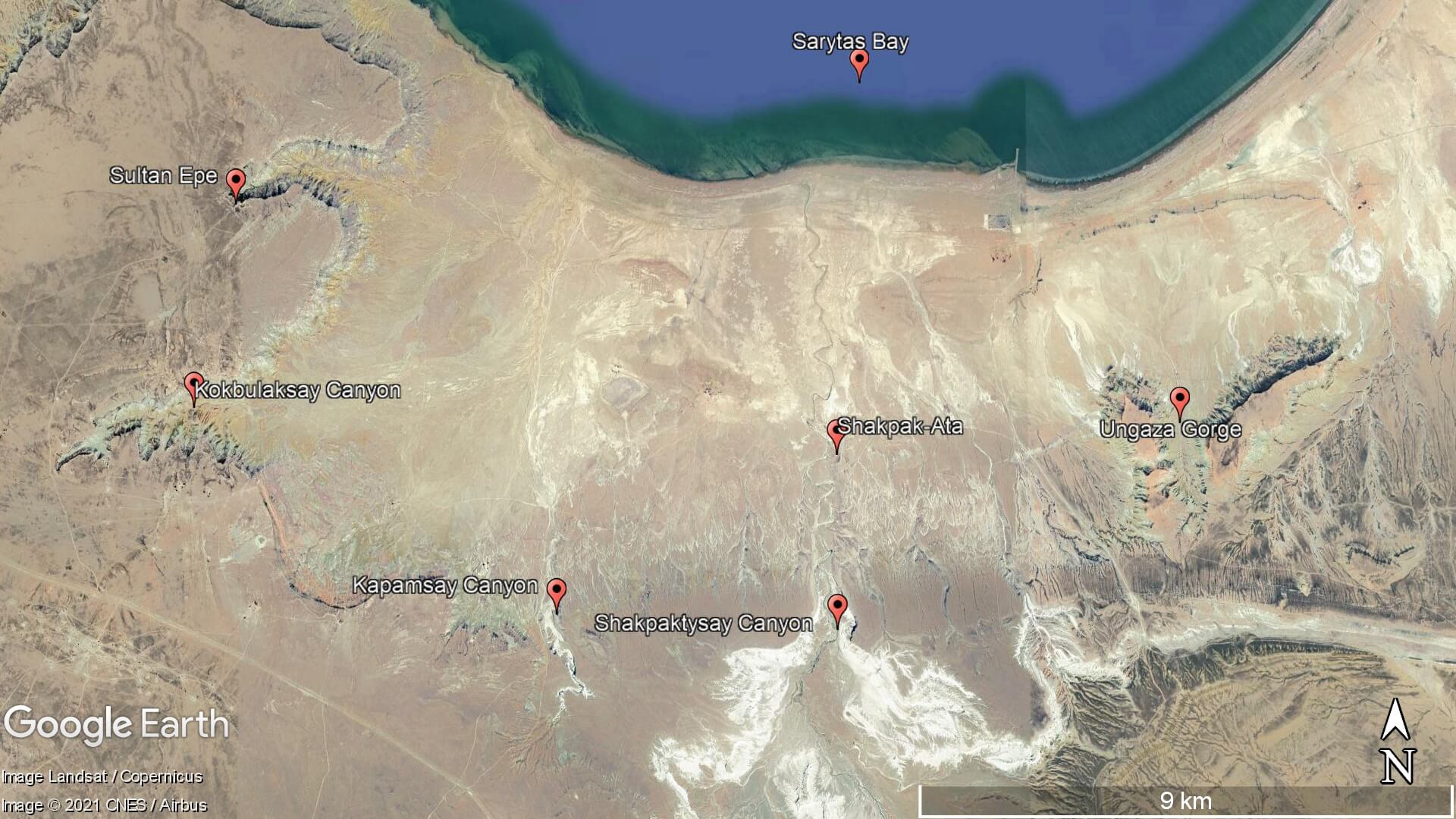
Eight kilometres south of Kyzyl Ravine is Sor Tuzbair*, a salt marsh stretching 15km along the edge of the Western Chink Ustyurt. Along with Boszhira,

Read More »