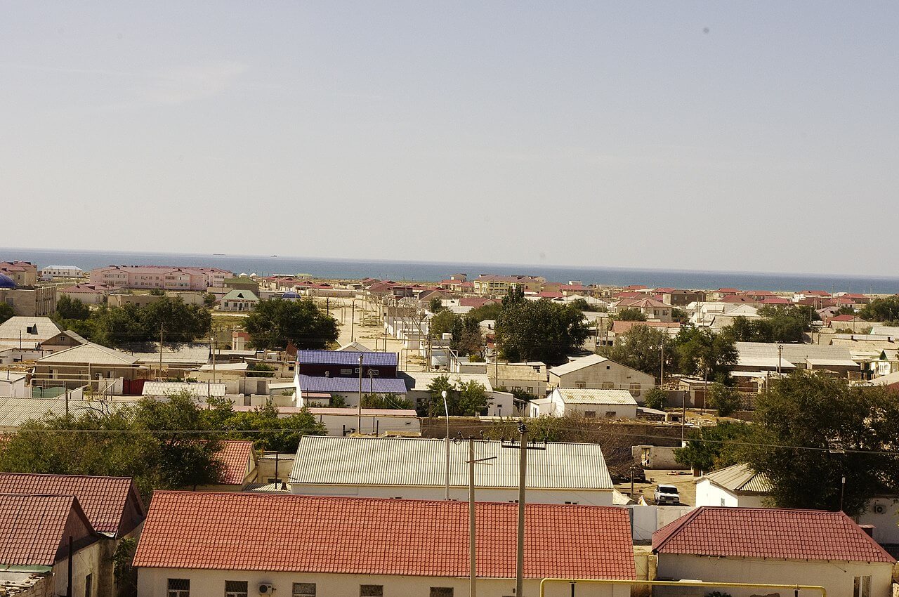
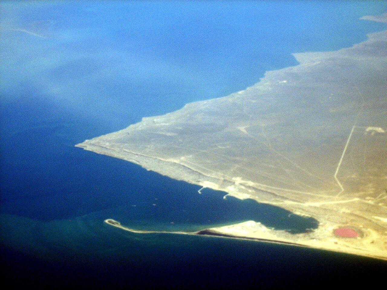
What to do in Fort Shevchenko and Bautino
While the western tip of the Tub-Karagan Peninsula isn’t on most traveller’s itineraries, it’s worth checking out if you’re interested in Central Asia’s maritime history and want to escape the bustle of Aktau city. Plus, it’s easy to tie in your visit with a stopover at Tamshaly and Meretsay Canyons, and Cape Zhygylgan, which are less than 35km to the north-east.
Taras Shevchenko Museum
Taras Shevchenko, a Ukrainian creative and all-round Renaissance man, lived in the city in exile from 1850 to 1857. Tsar Nicholas I opposed his views on political liberalisation and his involvement with the Brotherhood of Saints Cyril and Methodius, which advocated for the abolishment of serfdom and transforming the Russian Empire into a federation of Slavic states, with Kyiv as its headquarters.
In 1847, after a brief imprisonment in Saint Petersburg, the Tsar banished him to Orsk city, which is beside the Kazakh border and near to Aktobe city. Despite an initial ban on writing and painting, the following year he was assigned to an 18-month Aral Sea expedition, tasked with sketching the landscape and team’s discoveries. While his illustrations were well received, the Tsar didn’t take kindly to the expedition’s commanders requesting to reduce Shevchenko’s sentence. As a result, he was sent to Fort Shevchenko, as it partly served as a penal colony for political prisoners.
The Taras Shevchenko Museum, on 7 Mayauly Street, opened in 1932 in the summer residence of the fort’s commander, Irakli Uskov. Inside, there are three rooms. The first hall details the fort’s military history and Shevchenko’s arrival. An adjacent room houses dozens of his sketches from the 1848 Aral Sea trip and an 1851 expedition to the Mangystau Mountains, where he accompanied a team of geologists searching for coal deposits. The final hall shows remains of the fortress and artefacts uncovered from the area. There’s also a dugout room, known as a zemlyanka, which Shevchenko lived in during the summer to beat the heat. It was given to him by Uskov’s wife, who, like her commander husband, treated him favourably—certainly he teaching their children to read and write must’ve helped. It’s thanks to the Uskov family’s support and leniency that he could continue his creative work while in detention.
Open: Tuesday–Saturday, 10am–6pm
Tel.: +7 729 382 2333
Email: fort.muzei@mail.ru
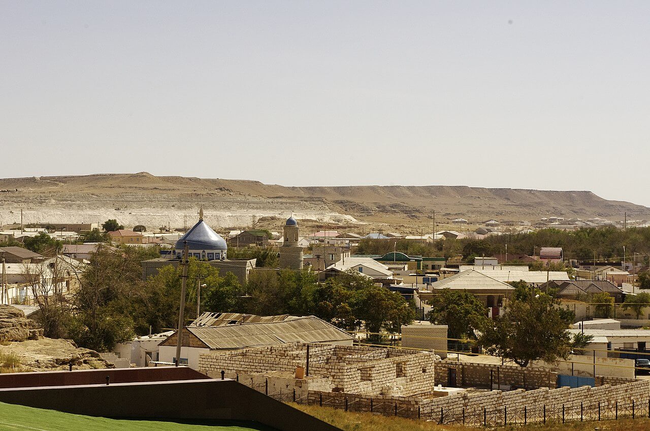
Museum of Fishing History and Ethnography of Mangyshlak
At the north end of Taras Shevchenko Park, where the namesake museum is also located, is the Museum of Fishing History and Ethnography of Mangyshlak. There are three rooms – dedicated to the local fishing industry, ethnography, and history – containing several thousands items in total. Highlights include handmade goods, such as a traditional Kazakh fur coat (ton), a saddle bag (korzhyn), felt prayer mats, as well as chests, doors, and baby cradles made of wood. Plus, there’s a collection of historical photographs, fishing equipment, jewellery, musical instruments, and countless other objects from the Russian Empire and Soviet times. For opening hours, contact the Taras Shevchenko Museum.
Isa Dosan Monument and the Armenian Chapel
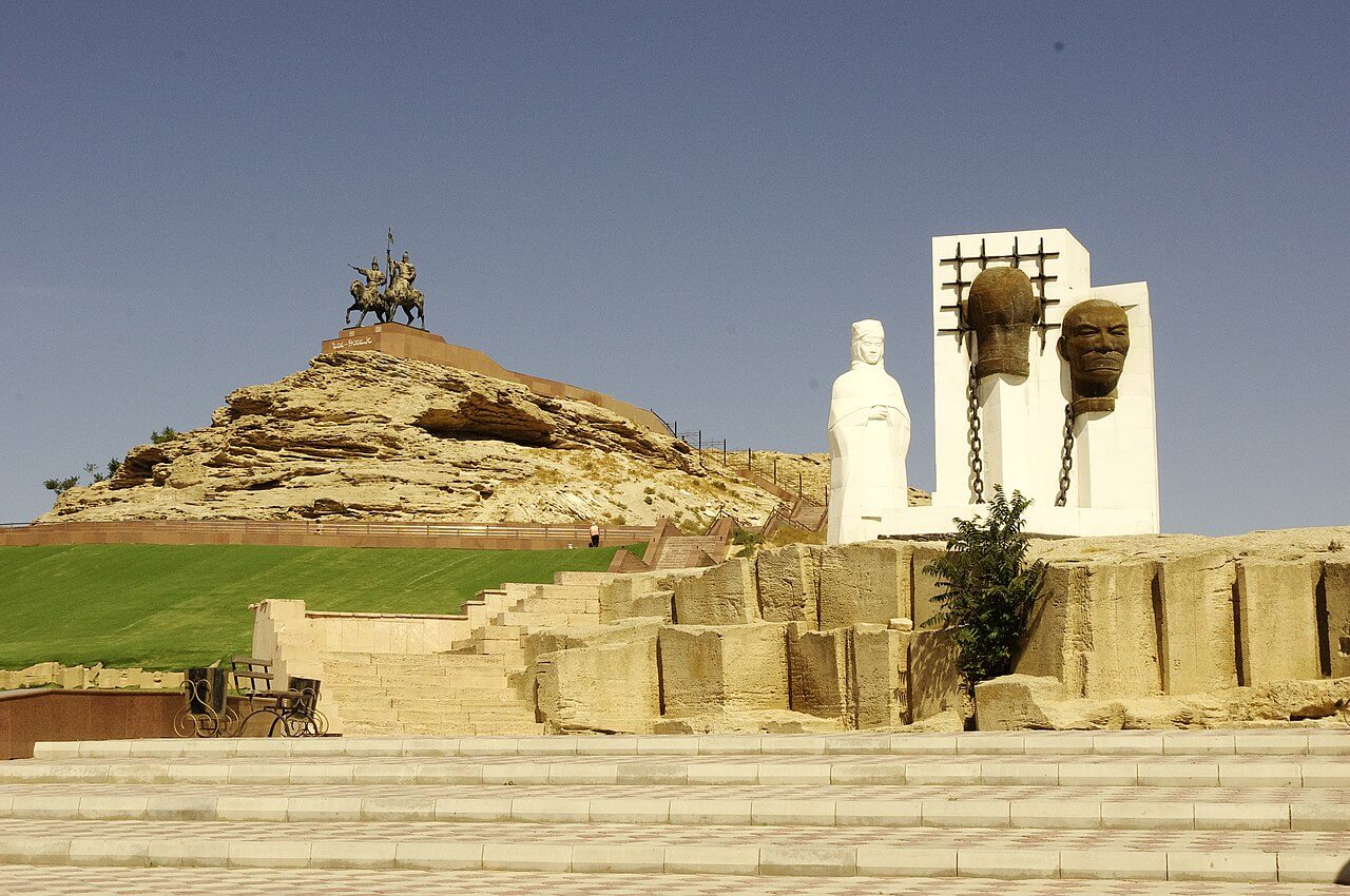
A five-minute walk north of Taras Shevchenko Park is the Isa Dosan Monument. It’s on top of Kurgan-Tas hill, which is where the founding fort was built, and offers unobstructed views of the city and sea. It was erected in honour of Isa Tlenbayuly* and Dosan Tazhiev, who were commanders in the 1870 Adayev Uprising** against the Russian Empire’s presence in Mangystau. At the bottom of the hill is a monument to victims of Stalin’s political repression.
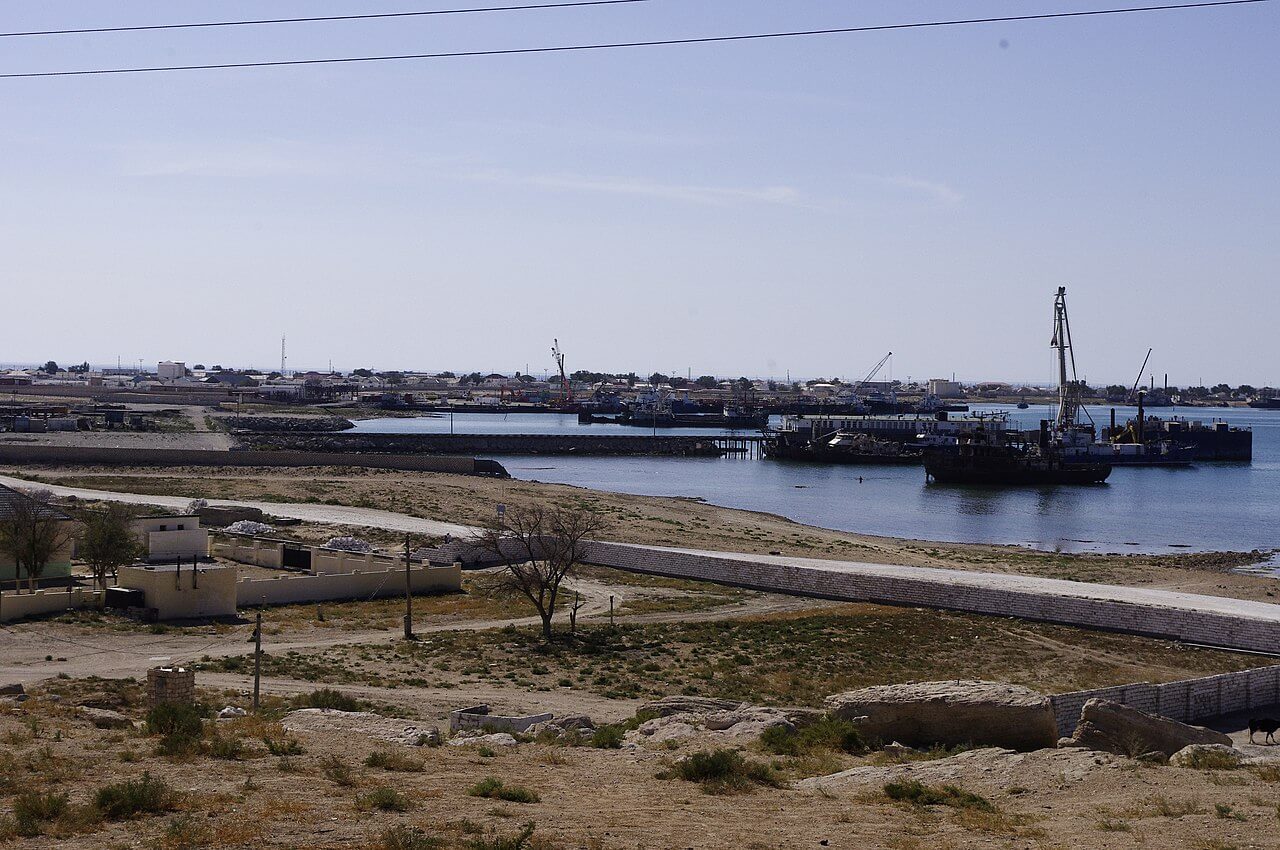
Walk another five minutes north of the monument to reach the Armenian Chapel. A diaspora of Armenian traders from Astrakhan built it in 1893, to mark the 20th anniversary of the Khiva campaign. Although there’s an estimated 25,000+ Armenians in Kazakhstan, this place of worship, along with one in Almaty, are the only remaining Armenian chapels in the country. Half a kilometre south-east of the chapel, on the main road leading to Bautino, is a Russian Orthodox cemetery built around the same time. It primarily serves as a resting place for pre-October Revolution officers, soldiers, and their family members.
In the cemetery, look out for the obelisk for Austrian and Hungarian WWI prisoners of war. According to local historian and author Natalia Zaderetskaya, who wrote Tupkaragan – The Cradle of Mangystau, the prisoners helped to install the country’s first radio station in the city. Rumour has it that the radio equipment, shipped from western Russia in 1909, was originally destined for Aleksandrovsky military post on Sakhalin Island, in the western Pacific Ocean, but a logistical blunder led to it arriving in Fort Aleksandrovskii, as Fort Shevchenko was then known. It sat unused for three years, as long-range radio communication was still in its infancy, so no one knew how to use it or what it was for66.
A few hundred metres south of Taras Shevchenko Park is Sislam Ata Cemetery.
* Also known as Tilenbaev, Tlenbaev and Tilenbayuly, ** and the Mangystau or Mangyshlak Uprising.