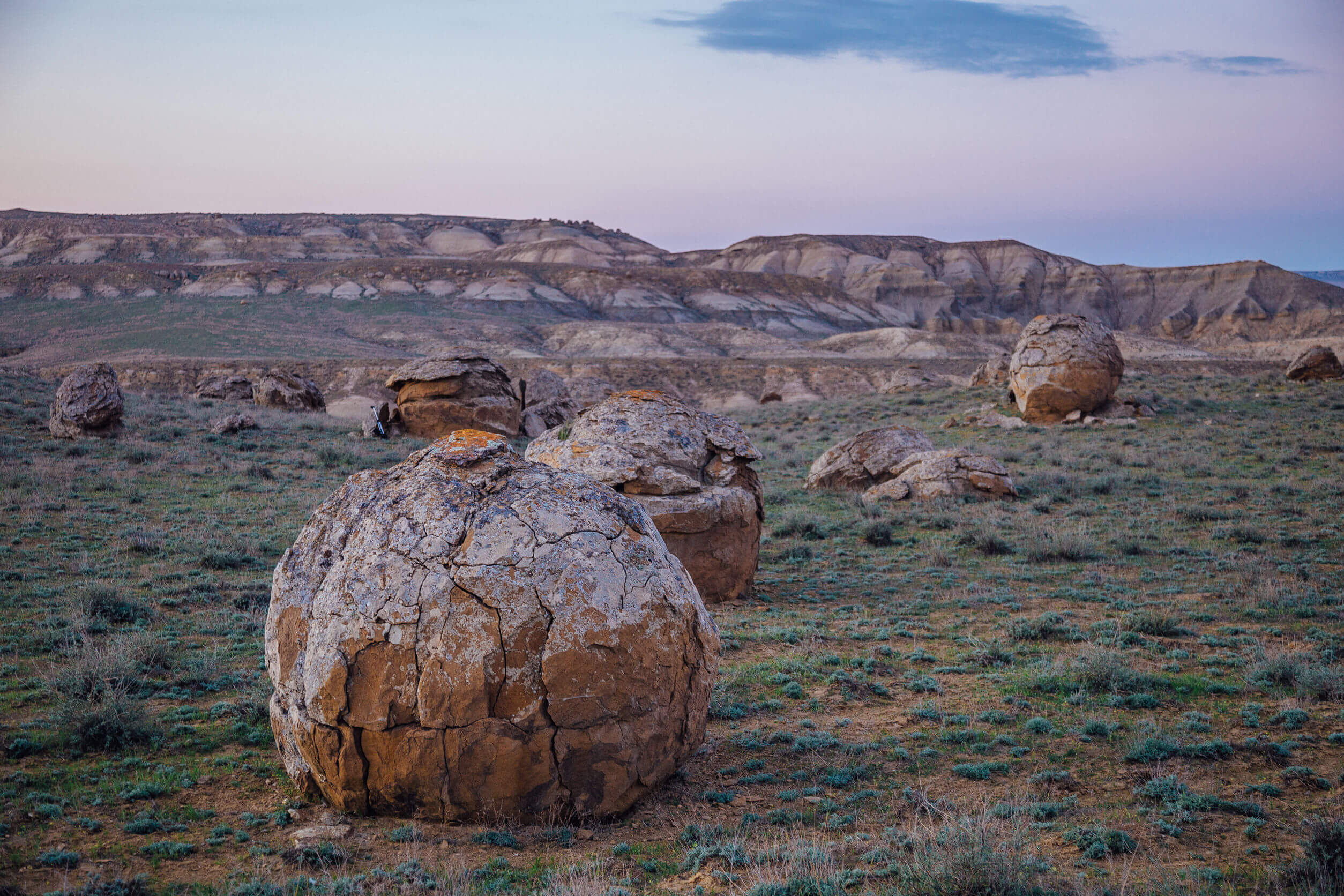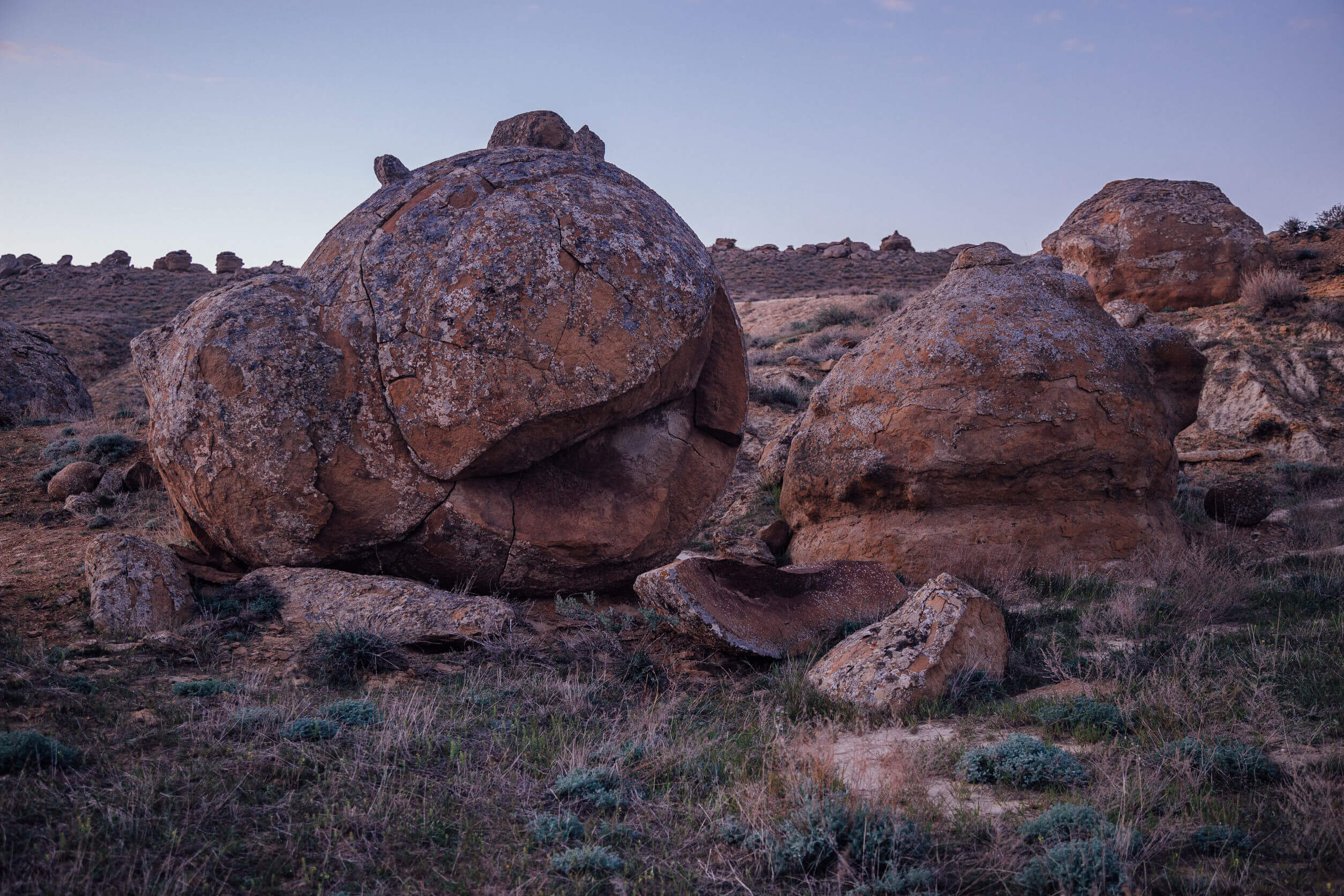
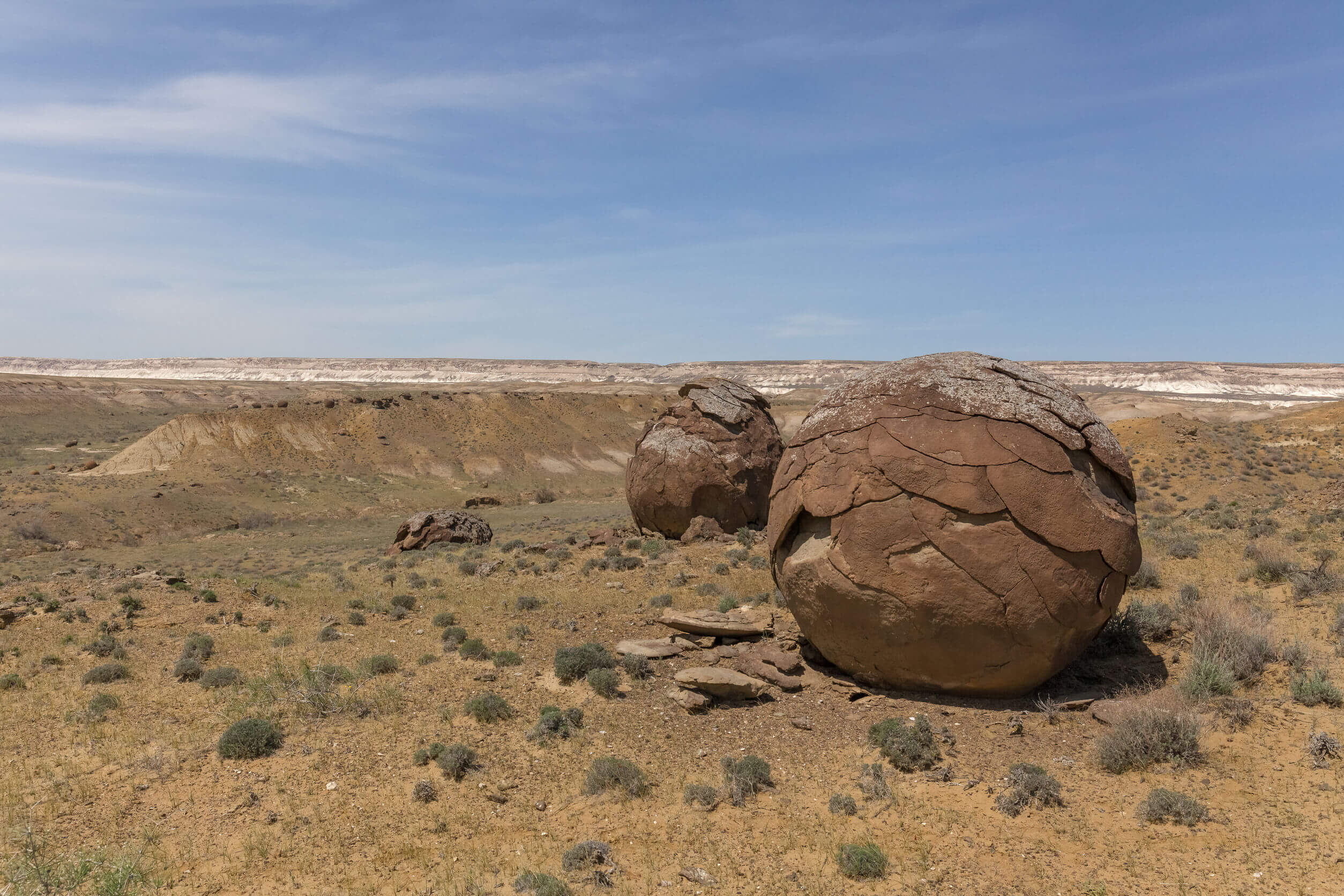
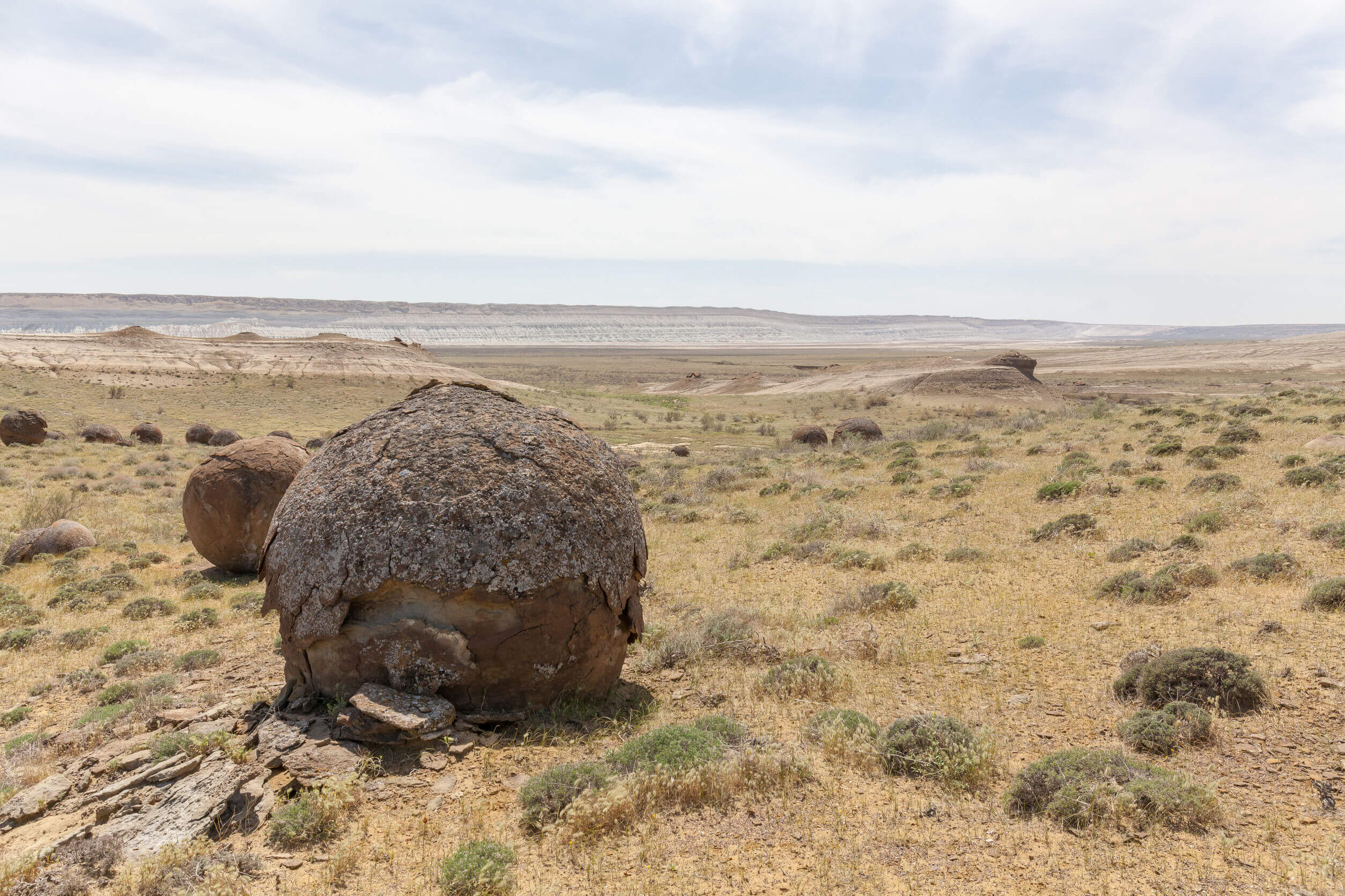
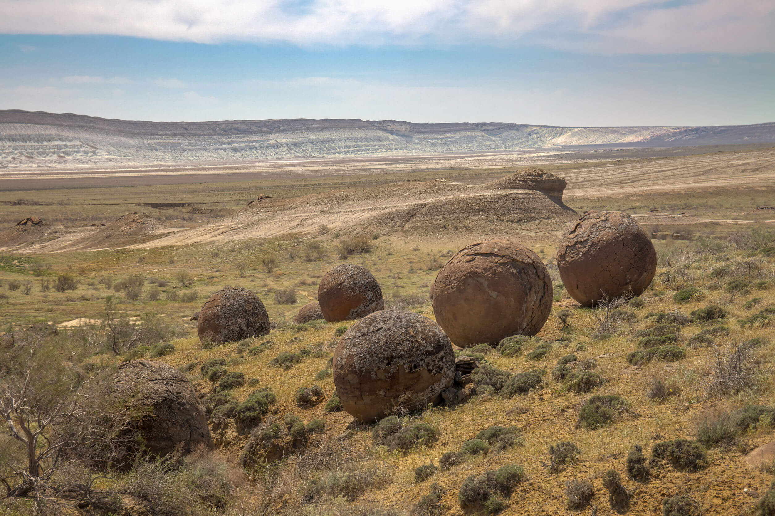
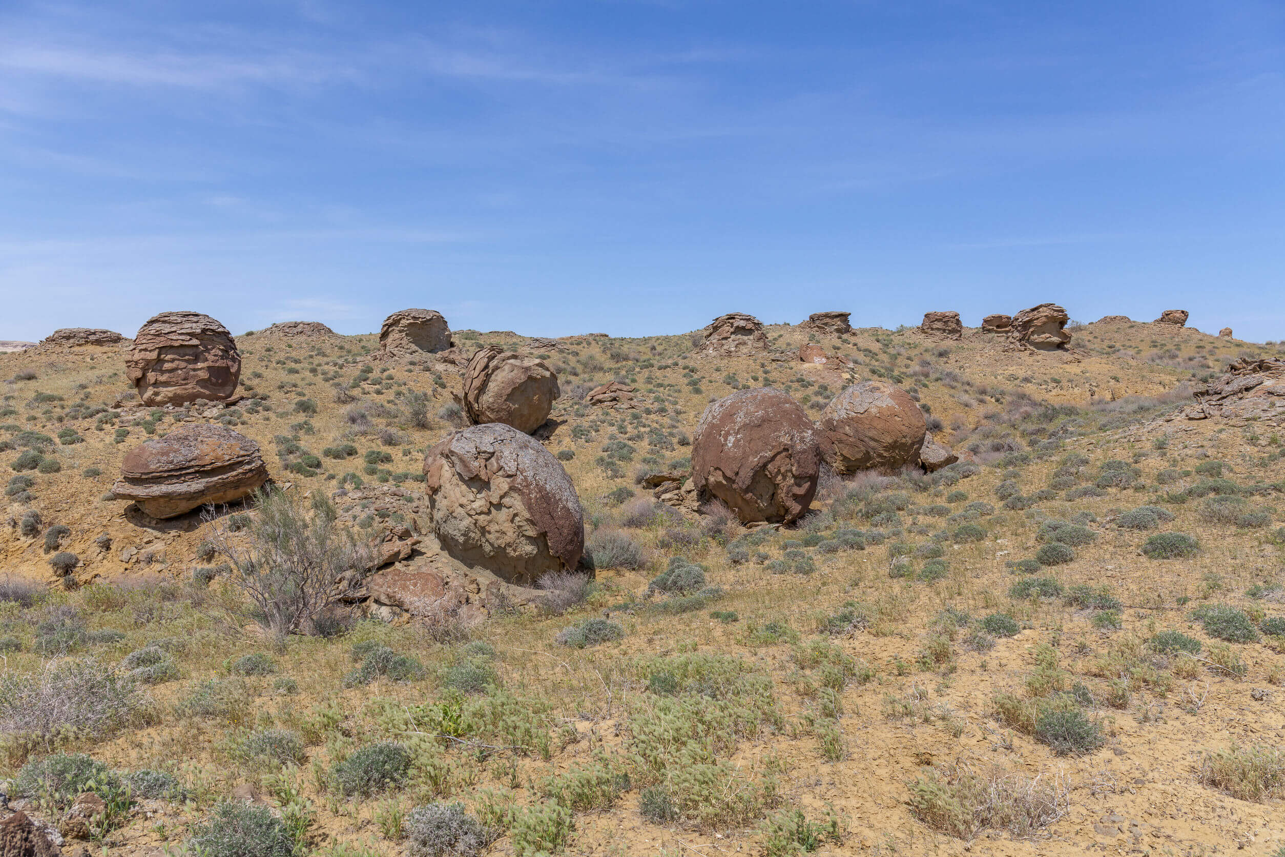
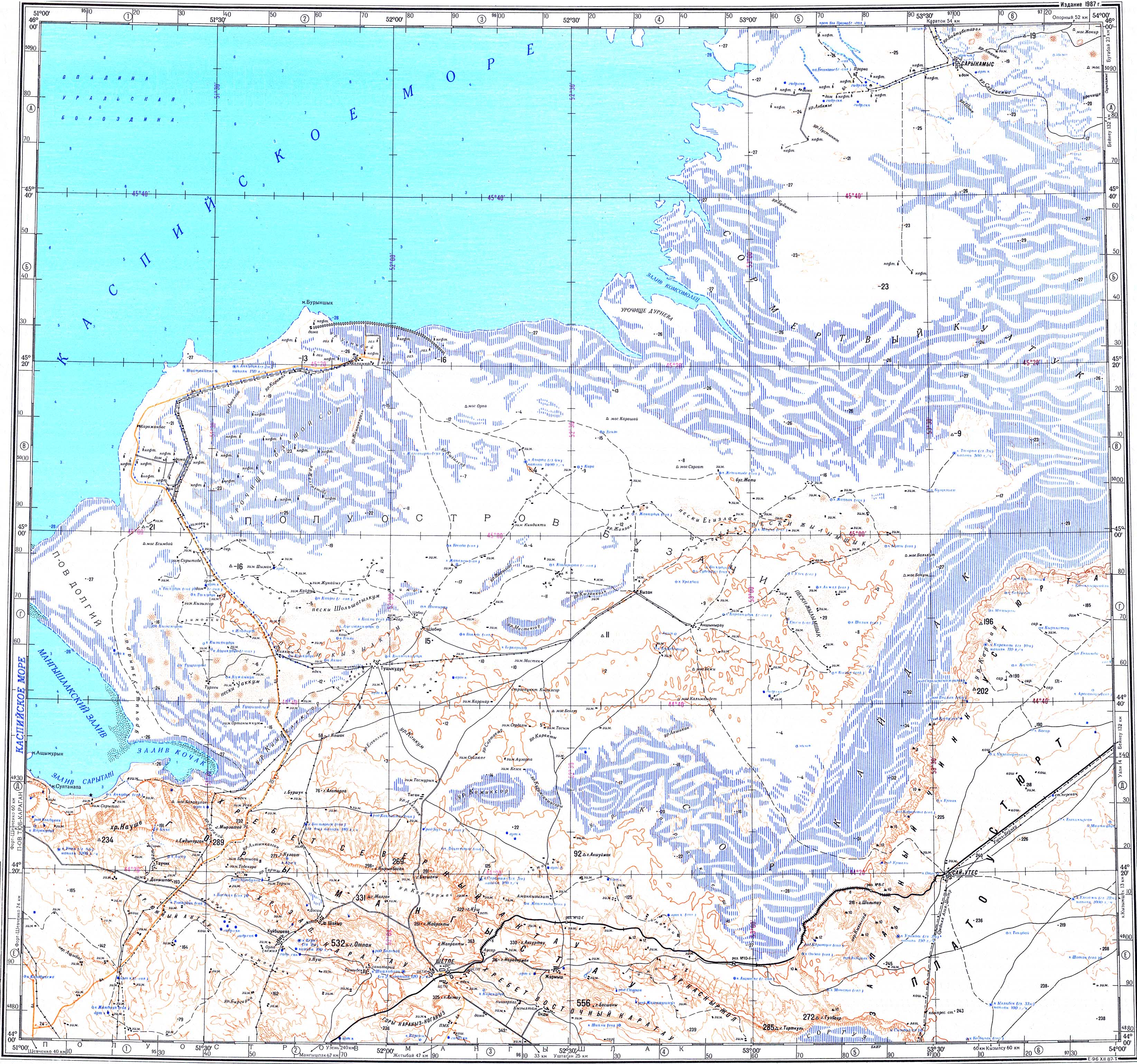
Eight kilometres east of the AktauBuzachi Peninsula road and 30km west of Sherkala is the ‘Valley of Balls’. Locally known as Torysh, the valley lies on the north side of the West Karatau Range and features hundreds of spherical sedimentary rocks up to 4m in diameter.

A series of spherical rocks in a grassy desert field in Torysh Valley.
© Mulderphoto

Researchers believe they’re concretions – formed by mineral-rich water flowing through porous sedimentary rock – or megaspherulites, which are volcanic ash-formed crystalline balls exposed through many millennia of weathering. Similar-looking rock balls include New Zealand’s Moeraki Boulders, California’s Bowling Ball Beach, and Stone Mountain on Planet Mars.

Port Abasta Film Set

Four kilometres north of the Torysh Valley is an old film set, just off the unnamed road leading to the northern Buzachi Peninsula. It was here that Tajik director Bakhtyar Khudojnazaro shot Waiting for the Sea in the early 2010s, together with an international crew from Kazakhstan, Russia, and Europe.

The full-length drama centres around Marat, a skipper recently released from prison on manslaughter charges after the deaths of his wife and crew in a storm on the Aral Sea. The film crew used the fictional Port Abasta as the setting, drawing inspiration from Moynaq fish port in Karakalpakstan. On returning to the port, Marat discovers the sea has disappeared and all that remains are vast swathes of sandy desert, the old pier, and the rusted hulls of ships. Tortured by guilt and sadness, he drags his ship across the desert searching for the lost sea, on a one-way journey marked by hardship and self-discovery.

Dotted around the former film set are rustic-looking wooden fishing boats and a few rundown buildings stood in the middle of a desolate stoney desert, so it’s a worthwhile detour if you’re in the area and looking for a quirky photo opportunity.

Coordinates:

  • Torysh Valley (Toryş Alqaby/Торыш Долина): 44.3236, 51.5986

  • Port Abasta (Abasta Porty/Порт Абаста): 44.3979, 51.5700

Resources:

Planning a visit? Check out our debut guidebook

Other places included in our publication:

Ushtagan village surrounded by a large ring of sandy desert

Ryn Desert

The Ryn, also known as the Naryn Sands, is Kazakhstan’s westernmost desert. It spans for over 350km between the Volga and Ural Rivers, and over

Read More »
Satellite overview of a bright green-coloured Shalkar Lake.

Shalkar Lake

The brackish, egg-shaped Shalkar Lake – 65km south of Oral – measures 15km x 18km and receives water from two rivers on the east side:

Read More »
Wide view of Sor Tuzbair from the plateau.

Sor Tuzbair

Eight kilometres south of Kyzyl Ravine is Sor Tuzbair*, a salt marsh stretching 15km along the edge of the Western Chink Ustyurt. Along with Boszhira,

Read More »