Buzachi Peninsula Deserts
If you’re interested in obscure, remotely situated deserts, the Buzachi Peninsula has five small, sandy ones*: the Kyzylkum, Uvahkum, Shulshagylkum, Zhilimshik and Egizlak. The Kyzylkum
If you’re interested in obscure, remotely situated deserts, the Buzachi Peninsula has five small, sandy ones*: the Kyzylkum, Uvahkum, Shulshagylkum, Zhilimshik and Egizlak. The Kyzylkum

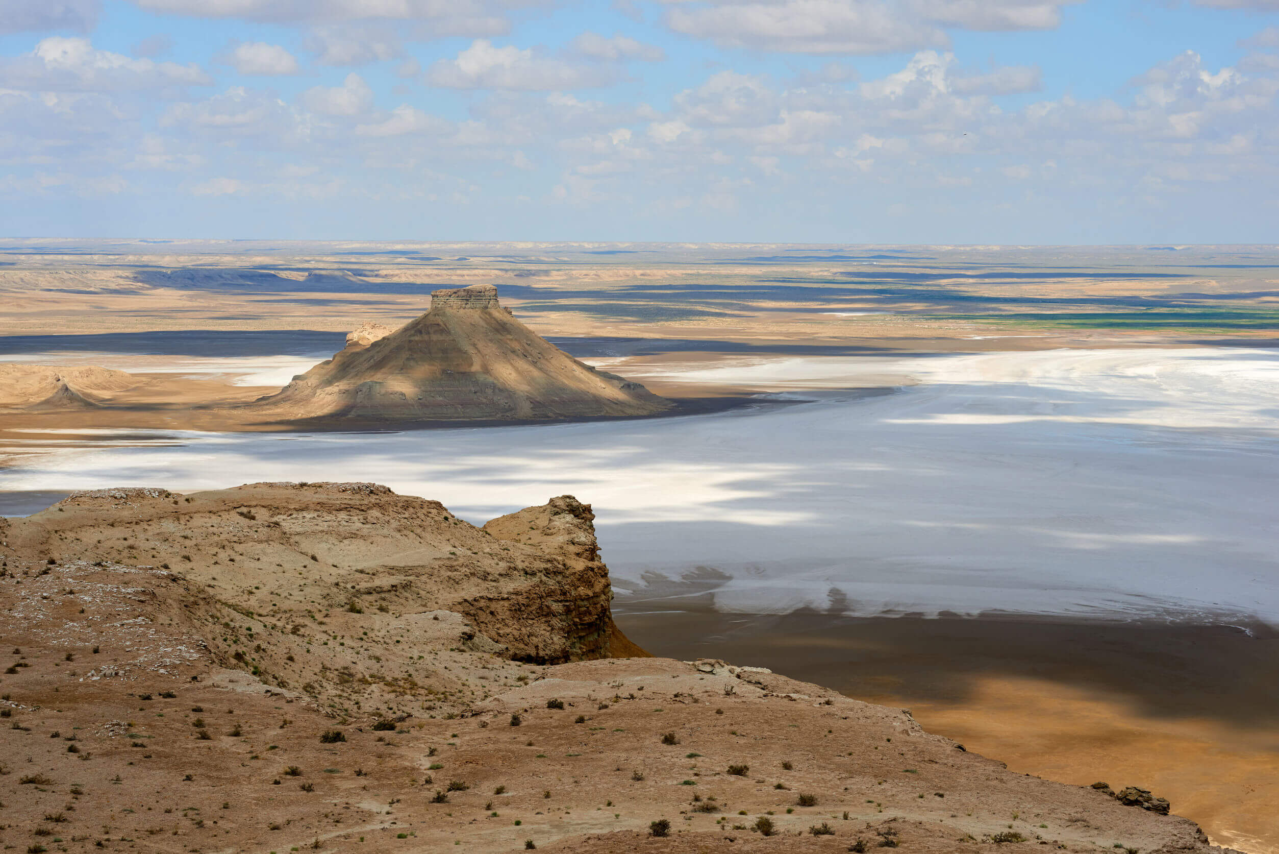
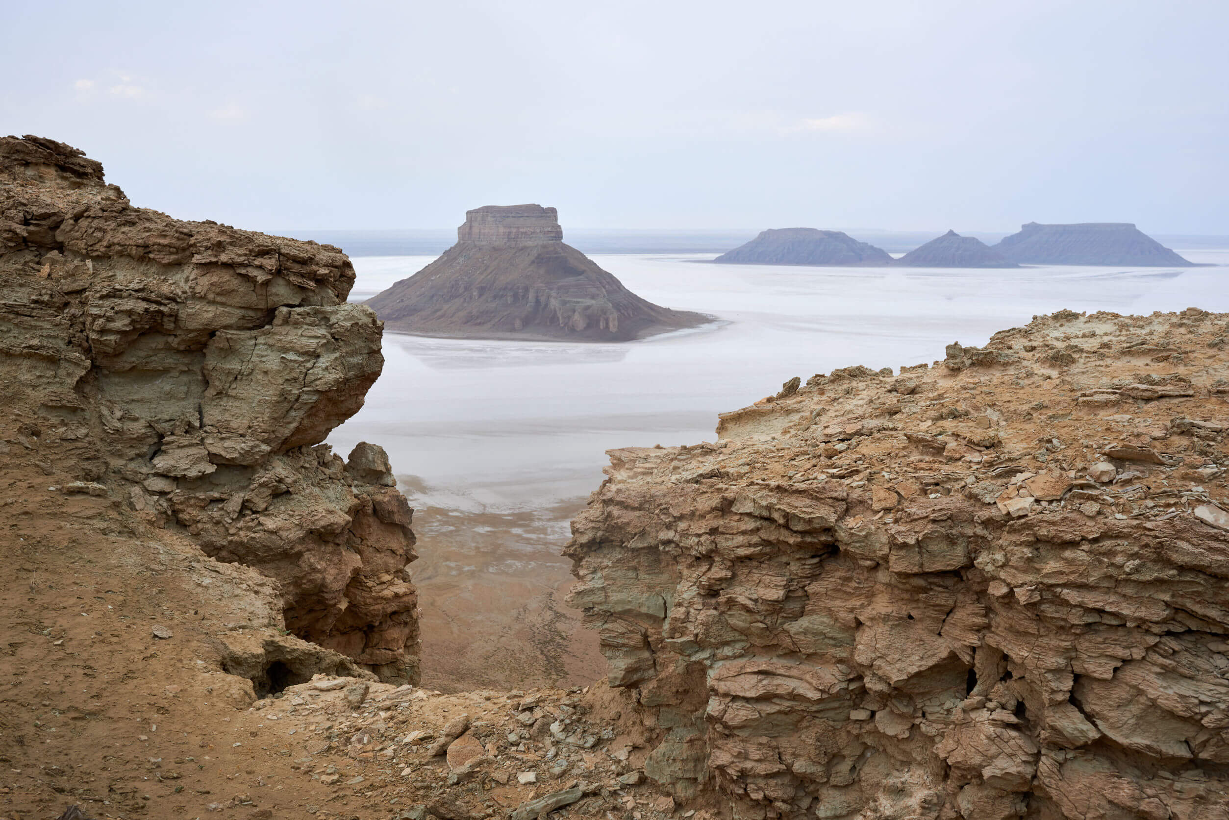
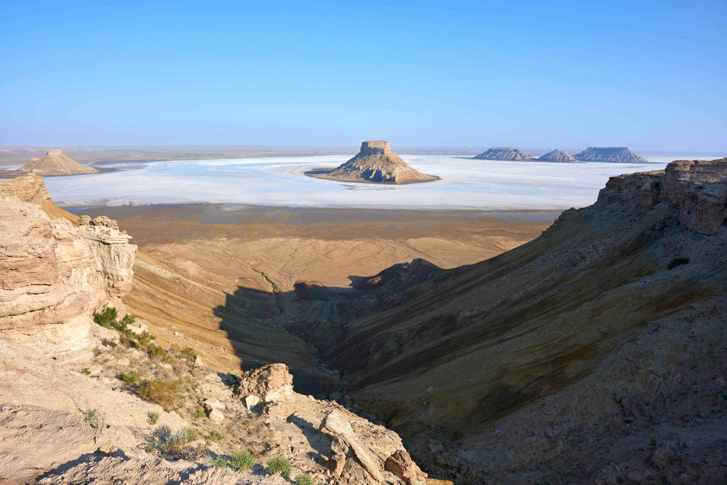
Eight kilometres east of the Aktau–Buzachi Peninsula road and 30km west of Sherkala is the ‘Valley of Balls’. Locally known as Torysh, the valley lies
Oral is a lively city nestled on the banks of the Ural River. Like Atyrau city, it marks the geographical divide between Europe and Asia.