
Shopan Ata
Twenty kilometres north of Senek village is Shopan Ata, a circa 10th-century underground mosque that is one of Mangystau’s oldest religious sites. It was first

Twenty kilometres north of Senek village is Shopan Ata, a circa 10th-century underground mosque that is one of Mangystau’s oldest religious sites. It was first
Perched on the western tip of the Tub-Karagan Peninsula is the city of Fort Shevchenko and its satellite port town of Bautino. It’s the Mangystau
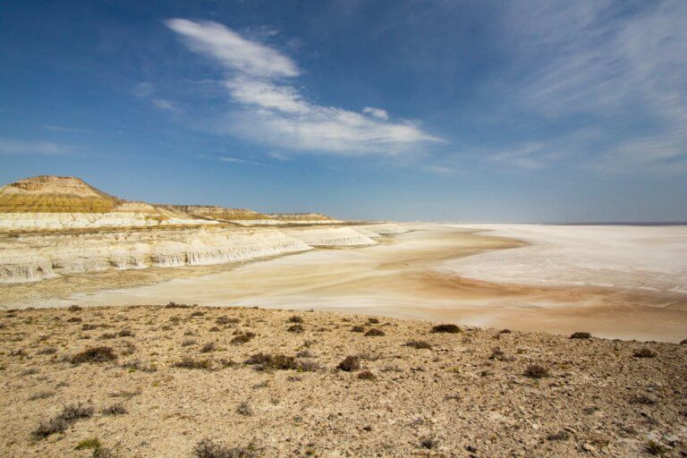
Eight kilometres south of Kyzyl Ravine is Sor Tuzbair*, a salt marsh stretching 15km along the edge of the Western Chink Ustyurt. Along with Boszhira,