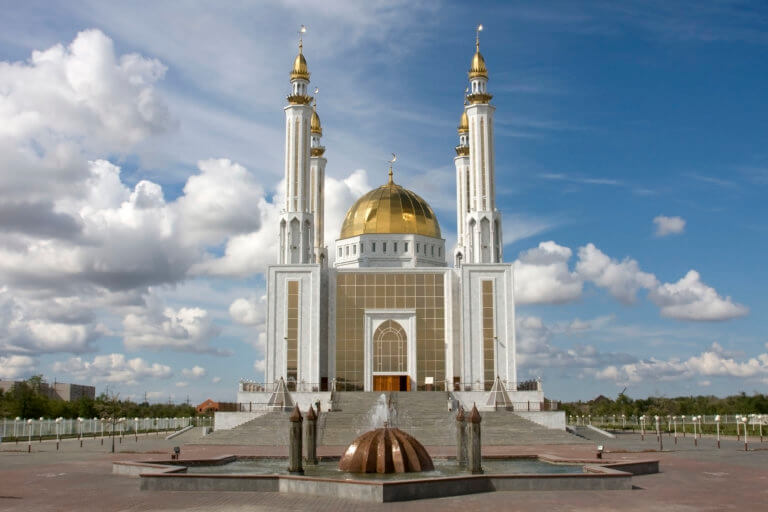
Aktobe
Aktobe is on the western end of the Kazakh Steppe, less than 100km from the Russian border. As the capital city of the Aktobe Region,

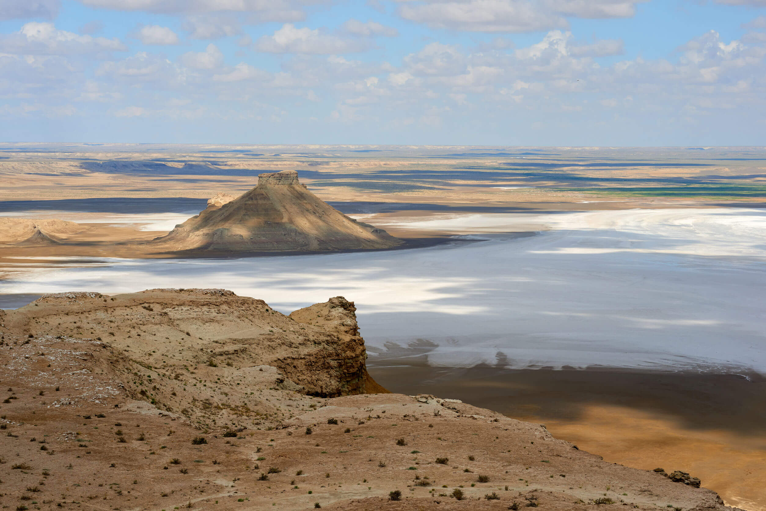
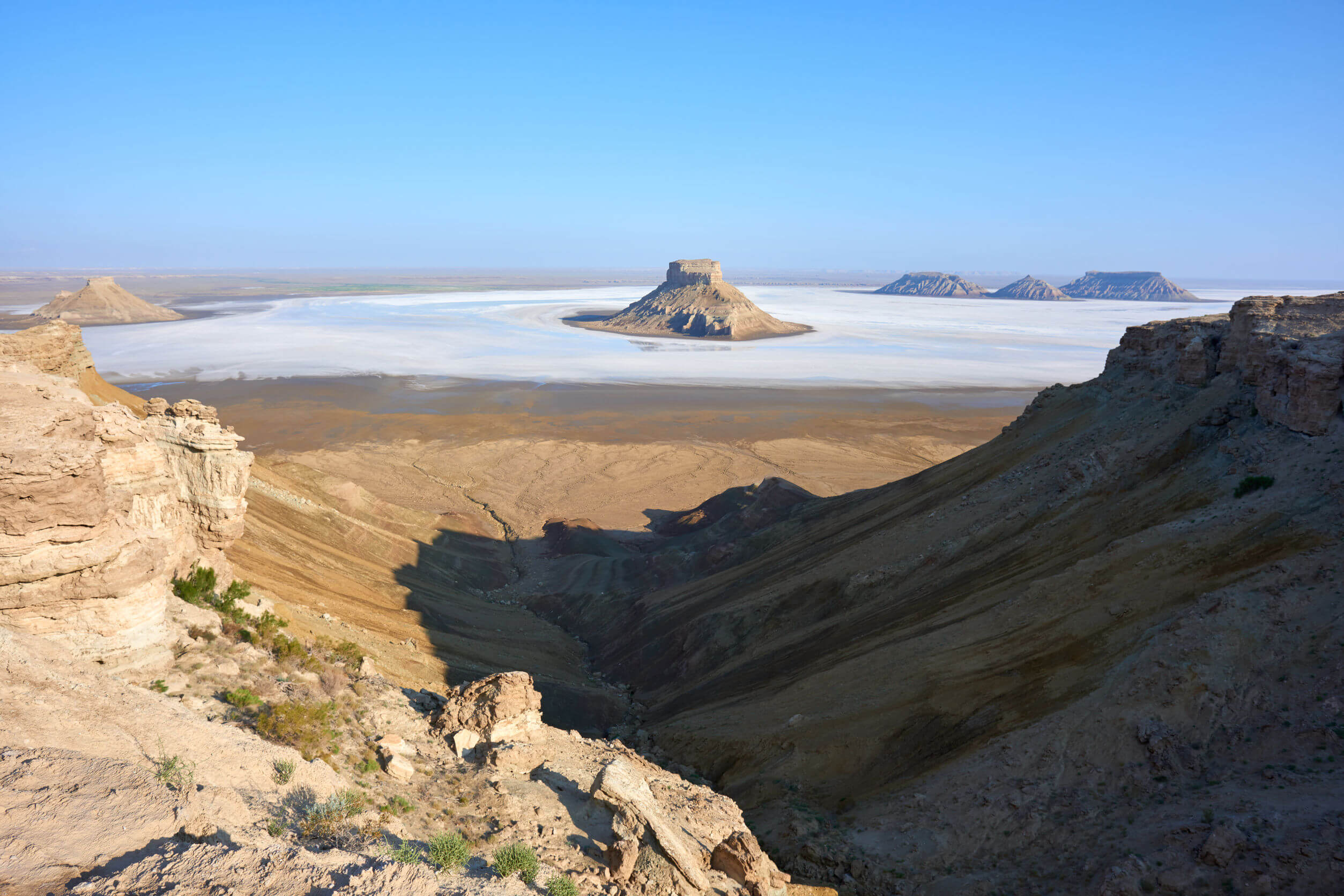
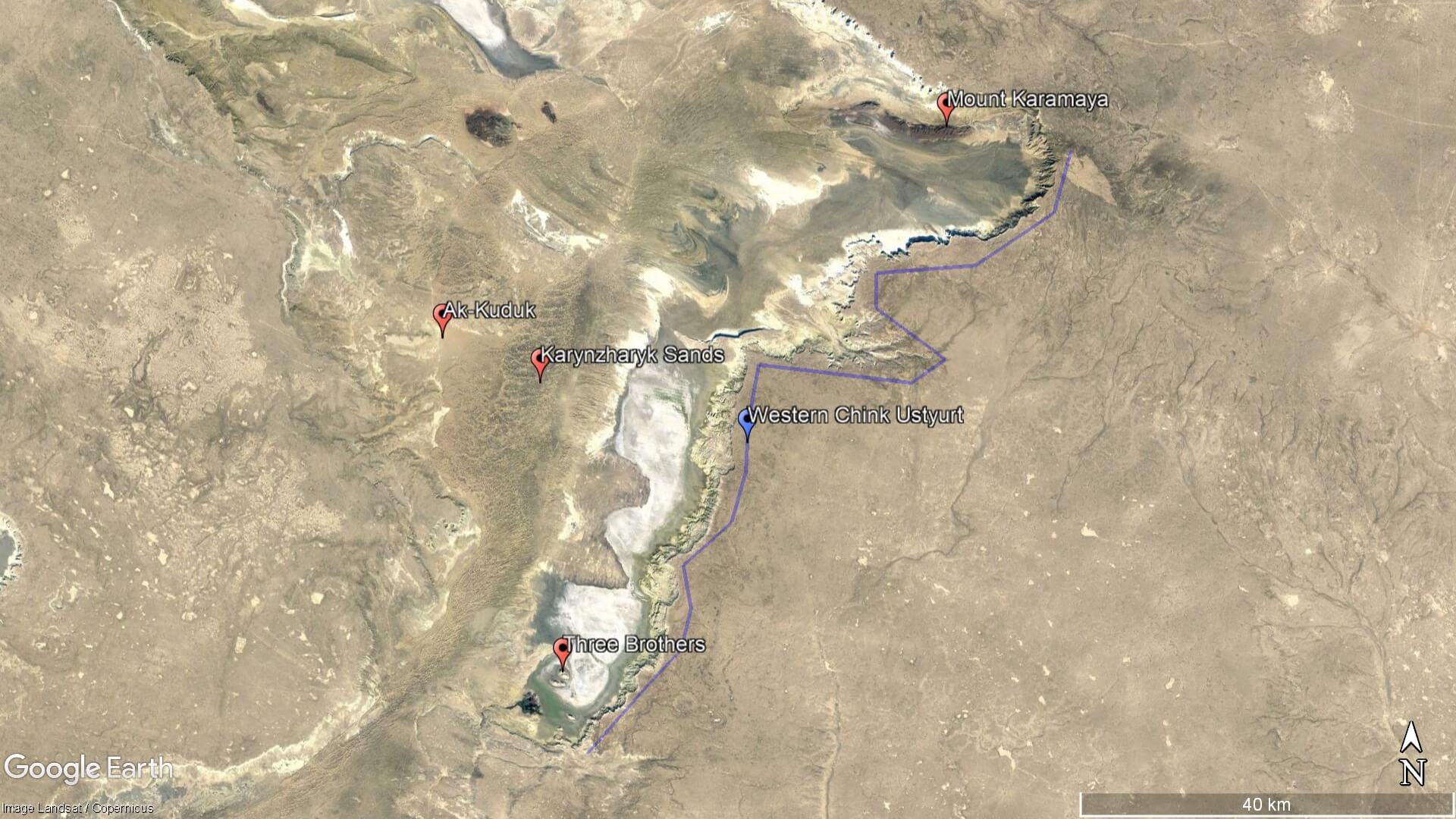
Karynzharyk is an 85km long and 15km wide depression in the Ustyurt Nature Reserve. The nearest village is Ak-Kuduk, which is situated 25km to the east, on the edge of the Karynzharyk Sands. Most of the depression is 40–50m below sea level. The Western Chink Ustyurt overlooks the eastside, reaching heights of 200–340m above sea level. Flanking its most northerly extent are the 15-kilometre-long Karaman Mountains and its Mount Karamaya high point (c. 219m).
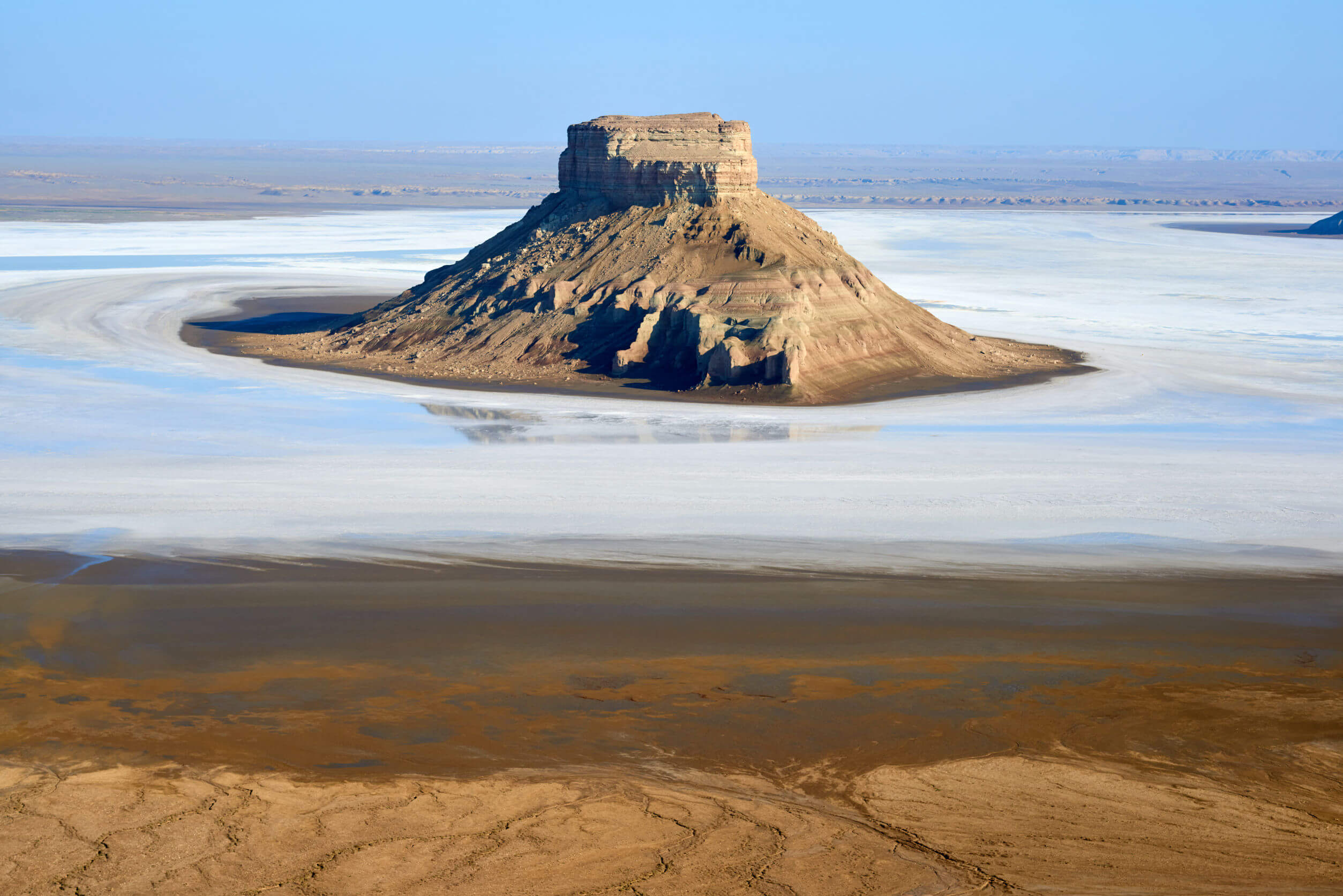
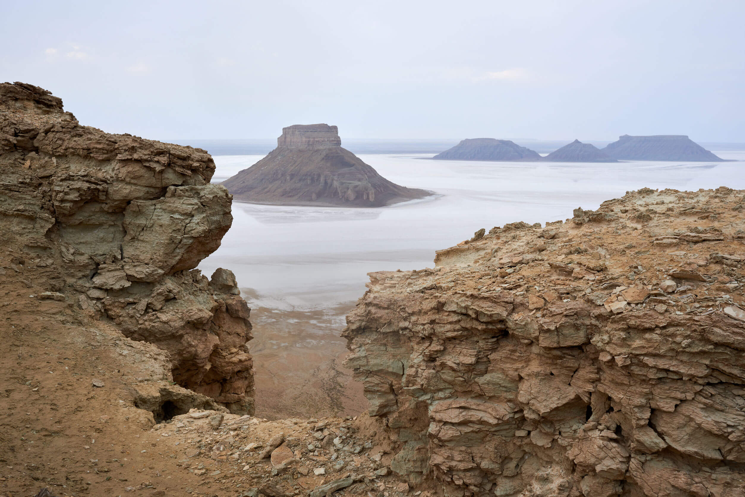
Five prominent freestanding peaks rising out of the salt flats mark the southernmost end of the depression. The trio sitting furthest out, nicknamed the ‘Three Brothers’, rise to 116m above sea level. In rare moments of precipitation, the basin fills with rainwater, turning Karynzharyk’s arid terrain into a surreal, sea-like vista as seen in this Mangystau aerial video.
Southernmost Part of Karynzharyk Depression (Qarynjaryq Oipaty/Впадина Карынжарык): 42.5942, 54.2588
Northernmost Part of Karynzharyk Depression: 43.1586, 54.8333
Ak-Kuduk (Aqqūdyq/Аккудук): 42.9713, 54.0969
Karynzharyk Sands (Qarynjaryq Qūmdary/Пески Карынжарык): 42.9157, 54.2112
Mount Karamaya (Qaramaia Tauy/Гора Карамая): 43.1748, 54.7531
Three Brothers (Üş Ağaiyndy/Три Брата) c. 116m High Point: 42.6541, 54.2556
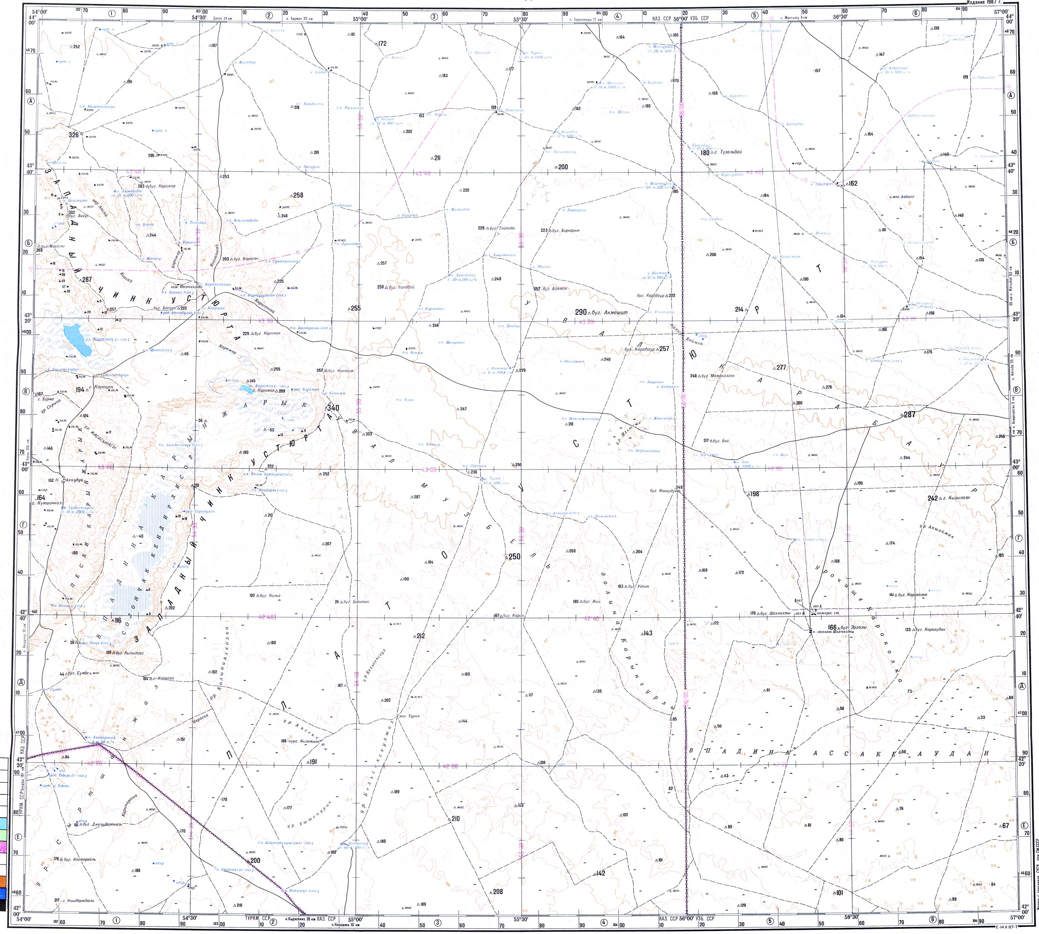
1:500k Soviet map of the Ustyurt. The left edge of the map shows Karynzharyk and its salt flats.
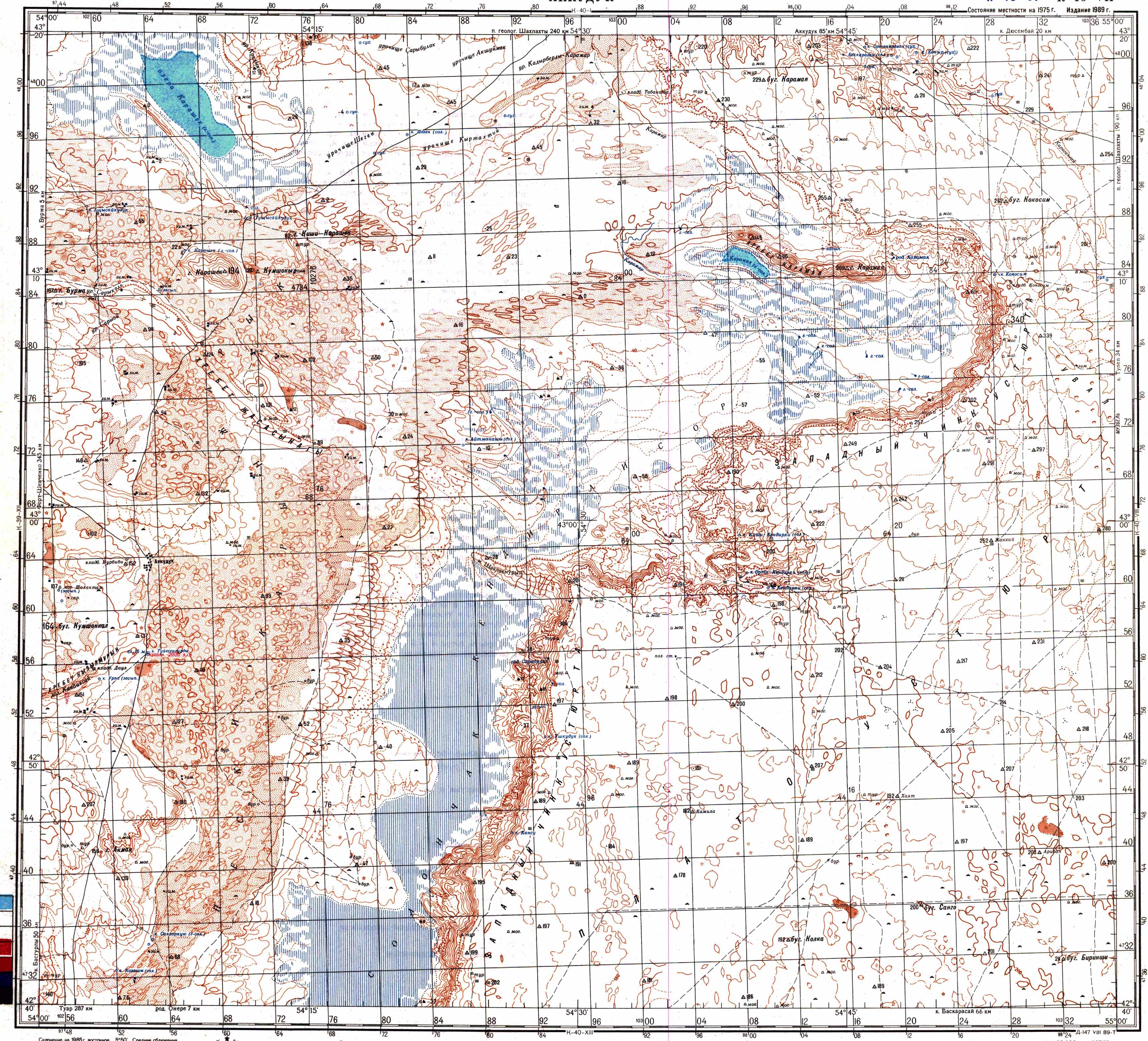
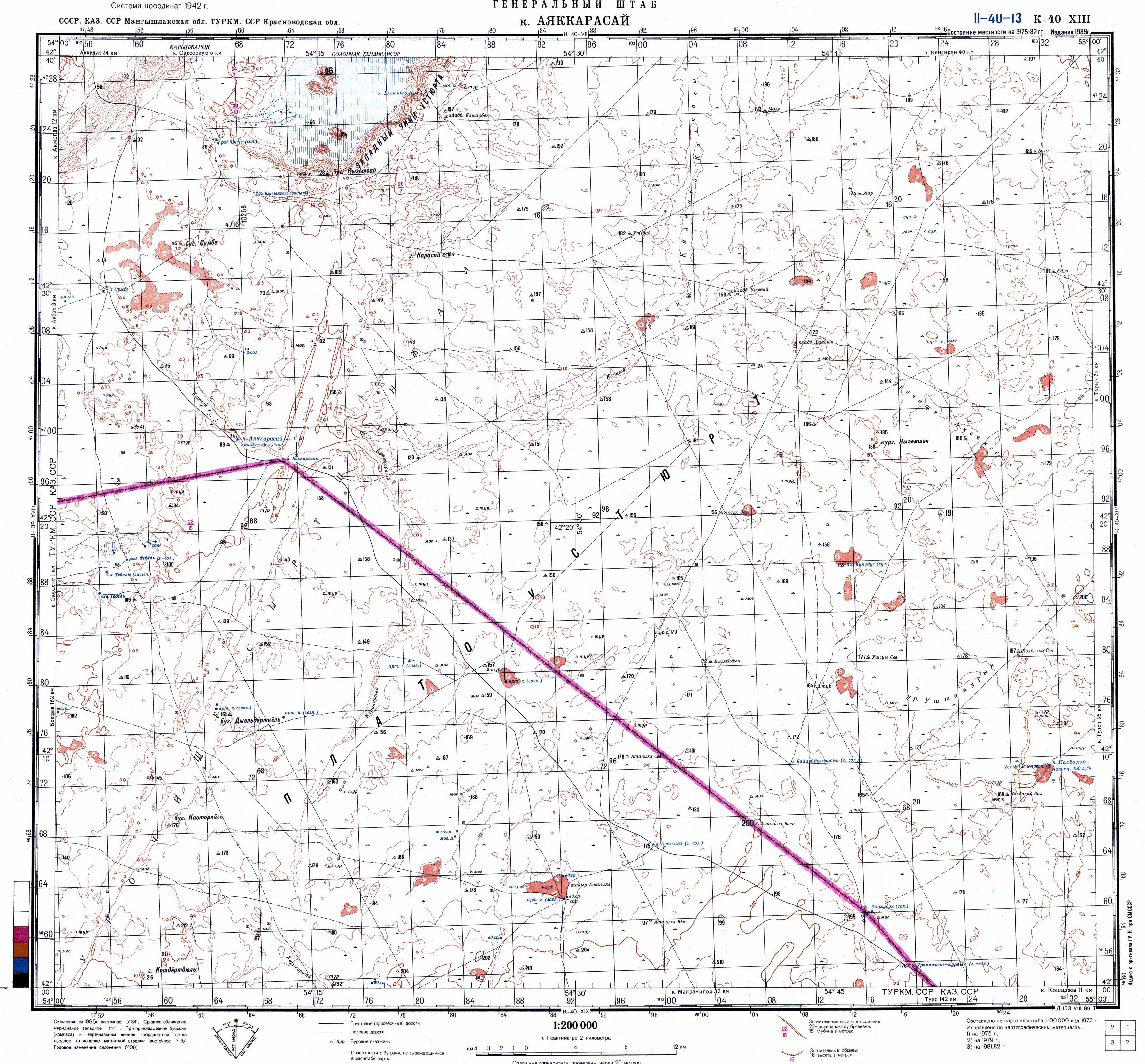
1:200k Soviet maps of the Karynzharyk Depression’s central to northern section, and its southernmost end.

Aktobe is on the western end of the Kazakh Steppe, less than 100km from the Russian border. As the capital city of the Aktobe Region,

The Ryn, also known as the Naryn Sands, is Kazakhstan’s westernmost desert. It spans for over 350km between the Volga and Ural Rivers, and over
If you’re on the lookout for Central Asia travel guides, you’ve come to right place! Here’s our rundown of what’s on the market and the