
Boszhira
Boszhira is Central Asia’s rival to the USA’s Monument Valley National Park, with the bonus of no crowds. Packed into a 7km x 7km area
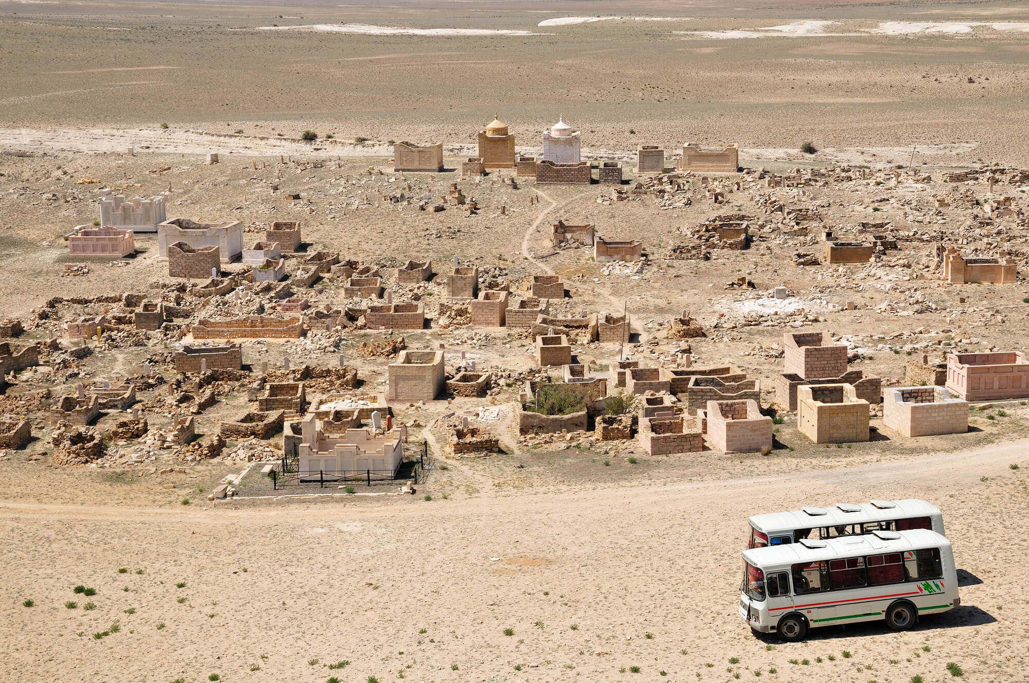
Boszhira is Central Asia’s rival to the USA’s Monument Valley National Park, with the bonus of no crowds. Packed into a 7km x 7km area
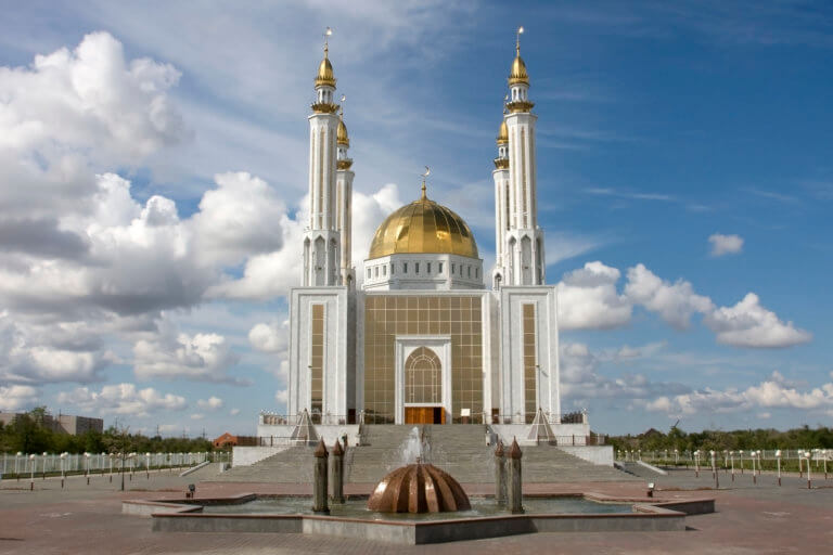
Aktobe is on the western end of the Kazakh Steppe, less than 100km from the Russian border. As the capital city of the Aktobe Region,
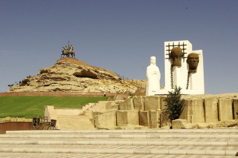
Perched on the western tip of the Tub-Karagan Peninsula is the city of Fort Shevchenko and its satellite port town of Bautino. It’s the Mangystau